
Hwy 62 Bridge 61.0mi
Class Rating
I – II
Length to next put in/take out
12.6
Time to next put in/take out
8 hours
USGS Gage to watch:
King River near Berryville
Current Gage Level
level content
Gage Level and condition of float
- Minimum level: 3.2 feet
- Optimal level:
- Maximum level:
Best times of year:
October – June
Camping Facilities:
No campsites but camping on banks permitted
Small description of float:
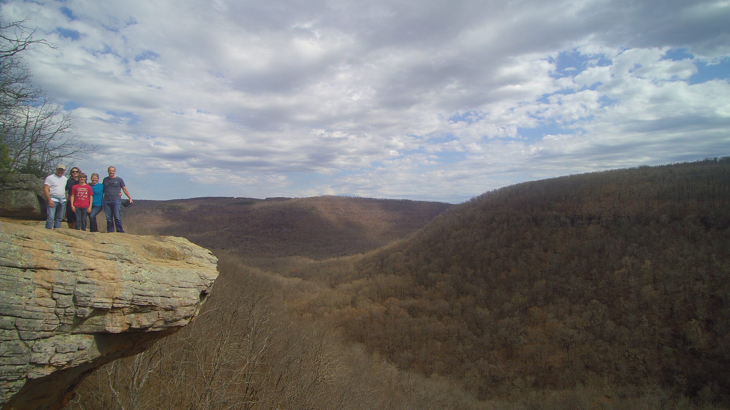
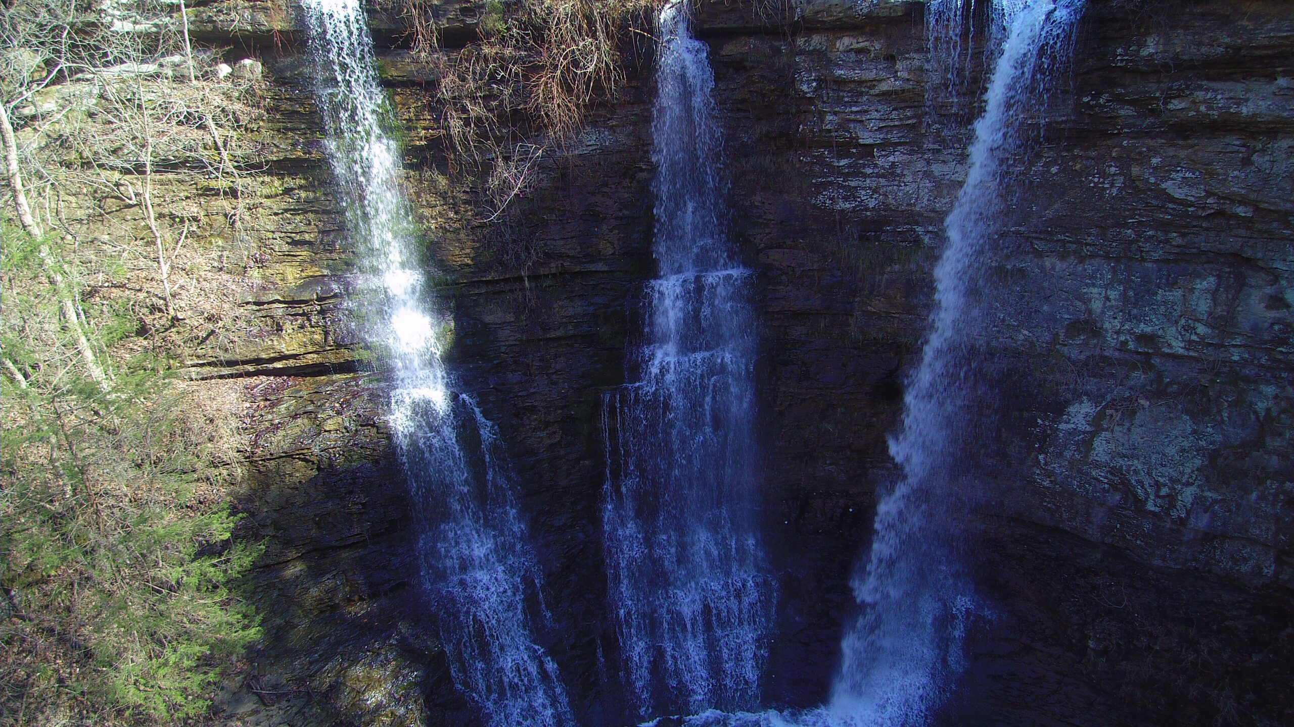
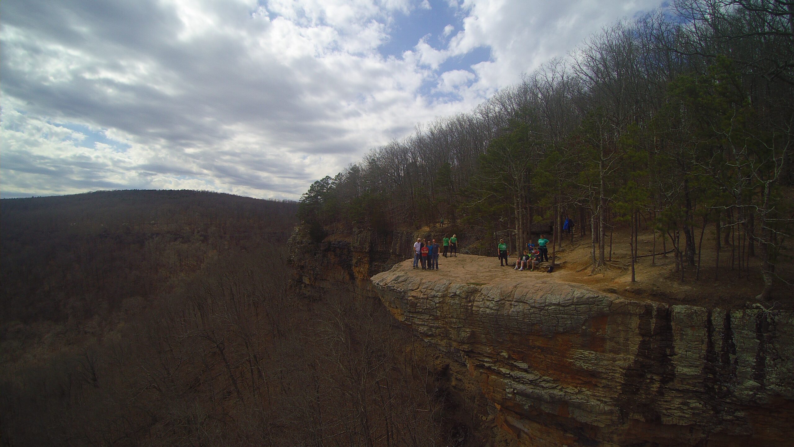
The access point is the JD Fletcher Public Access point just off of the HWY 62 Bridge. Parking is readily available but please note that the path up and down to the river can be a little steep and difficult. The last Kings River trip of what is considered the lower Kings begins here and concludes almost 22 miles near Table Rock Lake. 3/4 of the way into the trip floaters will encounter backwaters of Table Rock Lake. This long stretch of river can be broken up to two different floats. The first 12 miles is HWY 62 to Stoney Point public access and the next 9 miles is Summers Ford to HWY 86 Bridge which is 4 miles downriver from a public access called Romp Hole. This stretch of river can be floated later into the summer due to the back up of Table Rock Lake. There are plenty of gravel bars to camp and this float is a much slower and easier going stretch of the river. To get to Stoney Point, go to Hwy 143 West of Berryville, turn north and go through Grandview. Before you get to Missouri, there will be a brown sign to Stoney Point. The Romp Hole access point is just off of county road 4502 by taking Hwy 221 and turning off of county road 411 to county road 450 and then on to county road 4502.
Directions from Cathouse Arkansas :
Click for map and directions


Explore with
confidence
Inspiration and guidance for wherever your trail may lead.