Get a Map
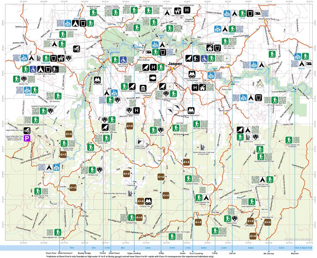
If you dont already have one, you can get a map of the area features from most places in Jasper.
The map shows all your Best Hiking spots, Motorcycle riding roads, Canoeing, Off-roading, Camping, Car Road Trips, (MTB) Biking, Rock Climbing, Hunting, Fishing, Caving, Horseback Riding, Wildlife Viewing, Stargazing, Museums & Historic locations, and Wildflower viewing in the Jasper Arkansas area. It also features easy QR codes to get you directions to the feature.
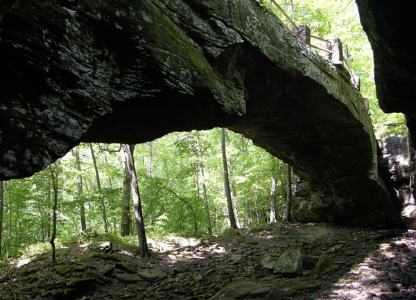
Alum Cove
This trail leads to an impressive natural rock bridge, 13O feet long and 12 feet thick. You can walk around, over and under the bridge, explore some small caves, wade in a cool creek, and in the wet season, enjoy the splendor of waterfalls behind the bridge. Trailhead located in parking area at end of Forest Service road. Dogs are allowed on trail.
Distance: 1.2
Ranking: 4.6
Difficulty: Easy to Moderate
Bearcat & Prohibition Falls
This is a Bushwack. Bring a long-sleeved shirt, pants, and bug spray. Have the map downloaded on an app on your fully charged phone. Both waterfalls are around 30 ft tall.
Distance: 3.6
Ranking: 3.8
Difficulty: Hard
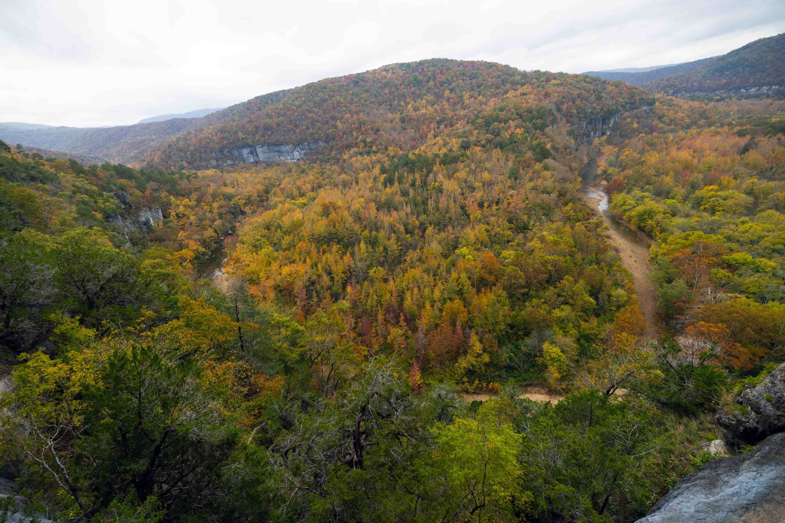
Big Bluff via Centerpoint – Goat Trail
This trail offers amazing views of the Buffalo River, scenic mountain views, and a challenging narrow Goat Trail. At 550 ft tall, Big Bluff is the tallest sheer bluff face found between the Rocky and Appalachian Mountains. Extreme caution should be used on Big Bluff and this portion is not recommended for children. Steep and strenuous conditions on the way out paired with rough wilderness and narrow trails make this an all day hike so come prepared. Centerpoint trailhead is located off Hwy 43 at the Firetower Rd junction. Dogs are not allowed on trail.
Distance: 6
Ranking: 5 (Must Do)
Difficulty: Moderate to Hard
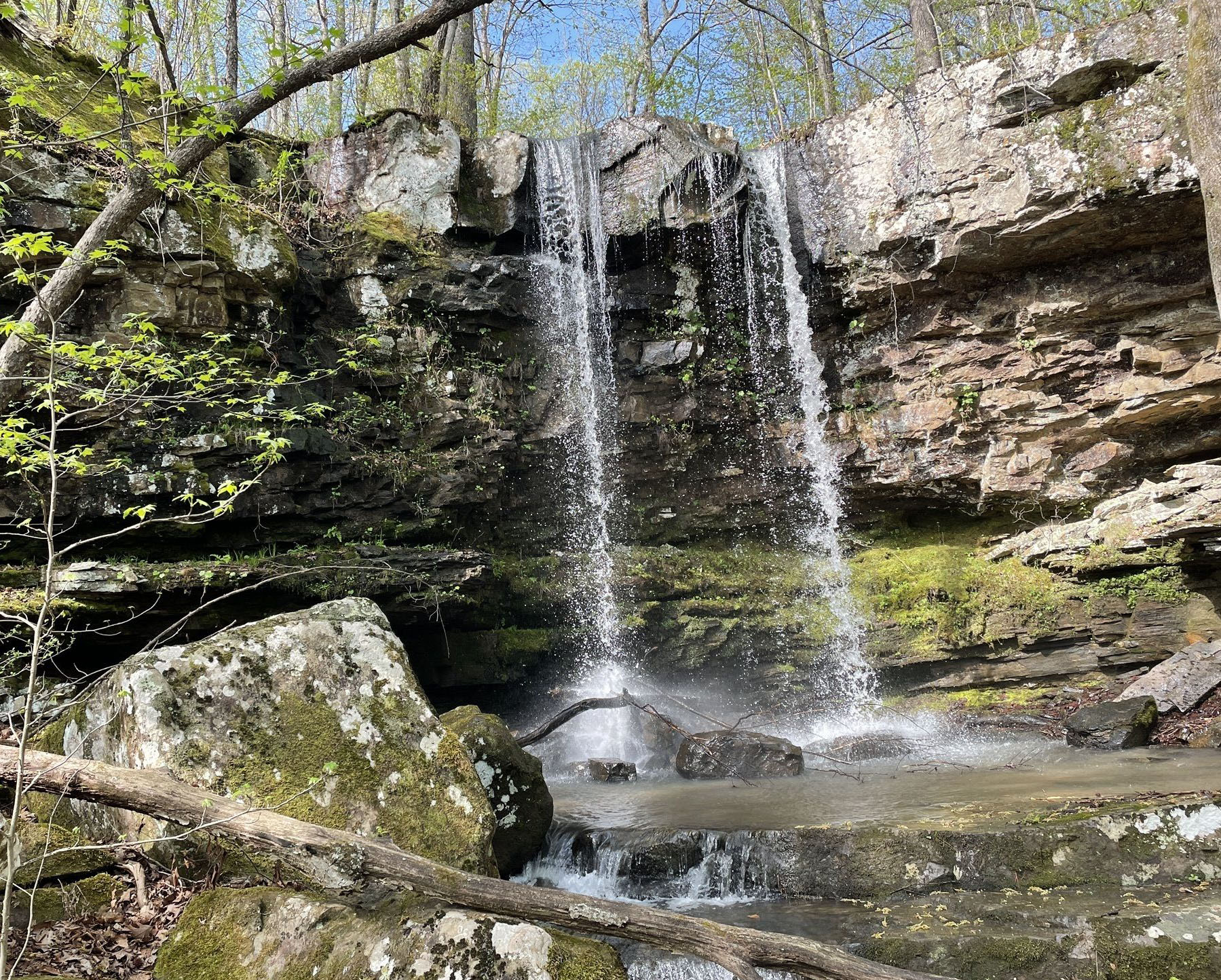
Big Creek Cave Falls
This trail follows along old road, past a homestead with early 1900’s vehicles down to Big Creek. There are a few water crossings and a stunning waterfall. It’s a must see. Trail head is off of McElroy Gap Rd. Dogs are allowed on trail.
Distance: 3.1
Ranking: 4.6
Difficulty: Moderate to Hard
Bowers Hollow & McClure Falls
This trail begins on old trail off of Forest Service road ending in short bushwack along creek to top of falls. Trailhead off of FR#1410. Dogs are allowed on trail.
Distance: 6
Ranking: 4
Difficulty: Hard
BRT – Buffalo River Trail
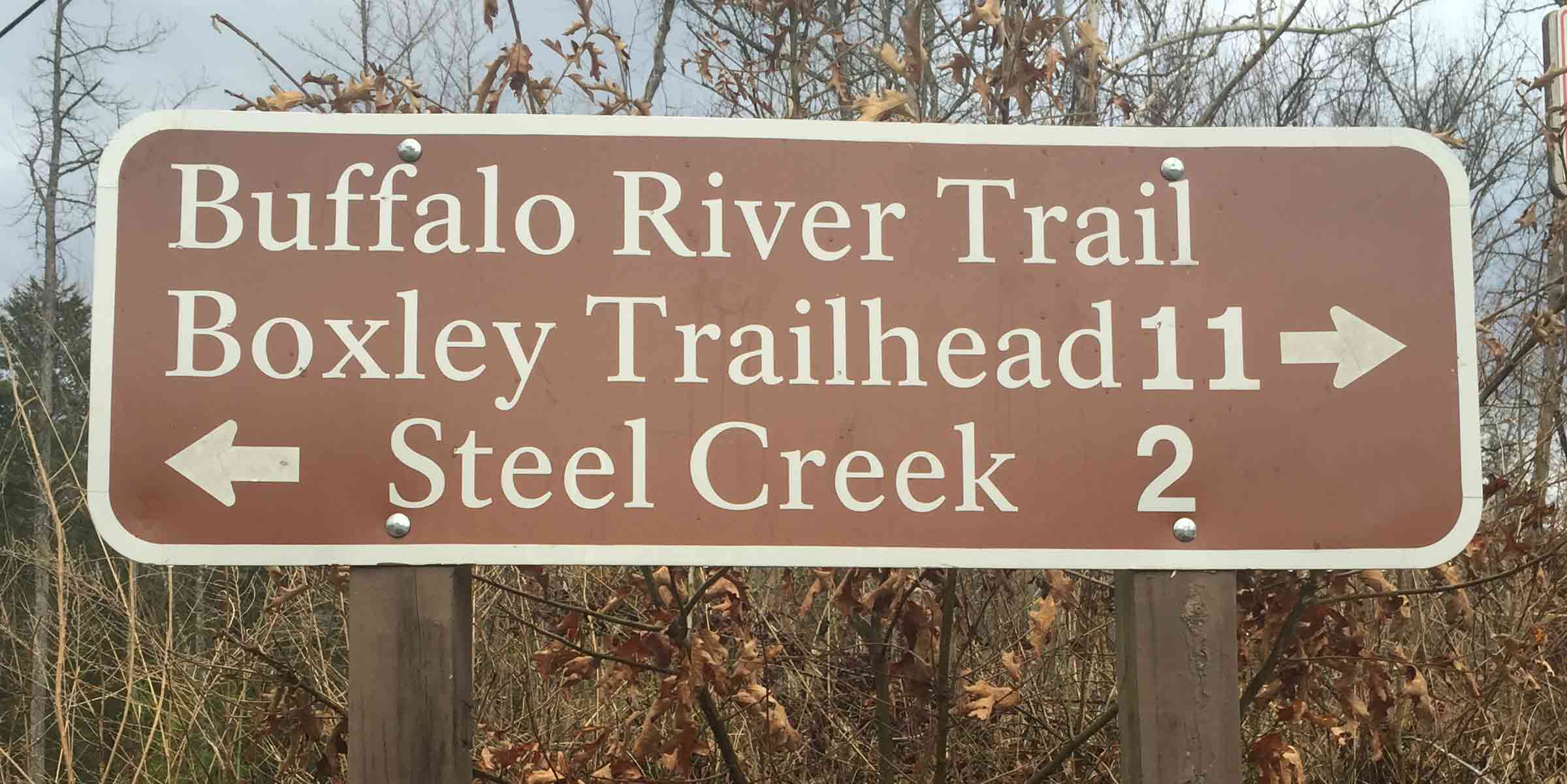
The Buffalo River Trail “BRT” is a multi-day adventure of backpacking, challenging hiking and trail camping. This upper section or western end of the trail begins in the beautiful Boxley valley and ends near picnic area at Pruitt. It’s considered one of the best challenging backpacking adventures in Mid-America. Open year around, in this approximate 36 miles you will experience superior scenic beauty, opportunity to encounter wildlife, waterfalls and the chance to visit historic homestead remnants. The eastern end of the trail is from Woolum Ford to Dillard’s Ferry and connects with the Ozark Highland’s Trail. Dogs allowed from Ponca to Steel Creek section if you would like to bring your furry friend along for part of your hike.
Distance: 36.3
Ranking: 4.5
Difficulty: Hard
Car Wash Falls
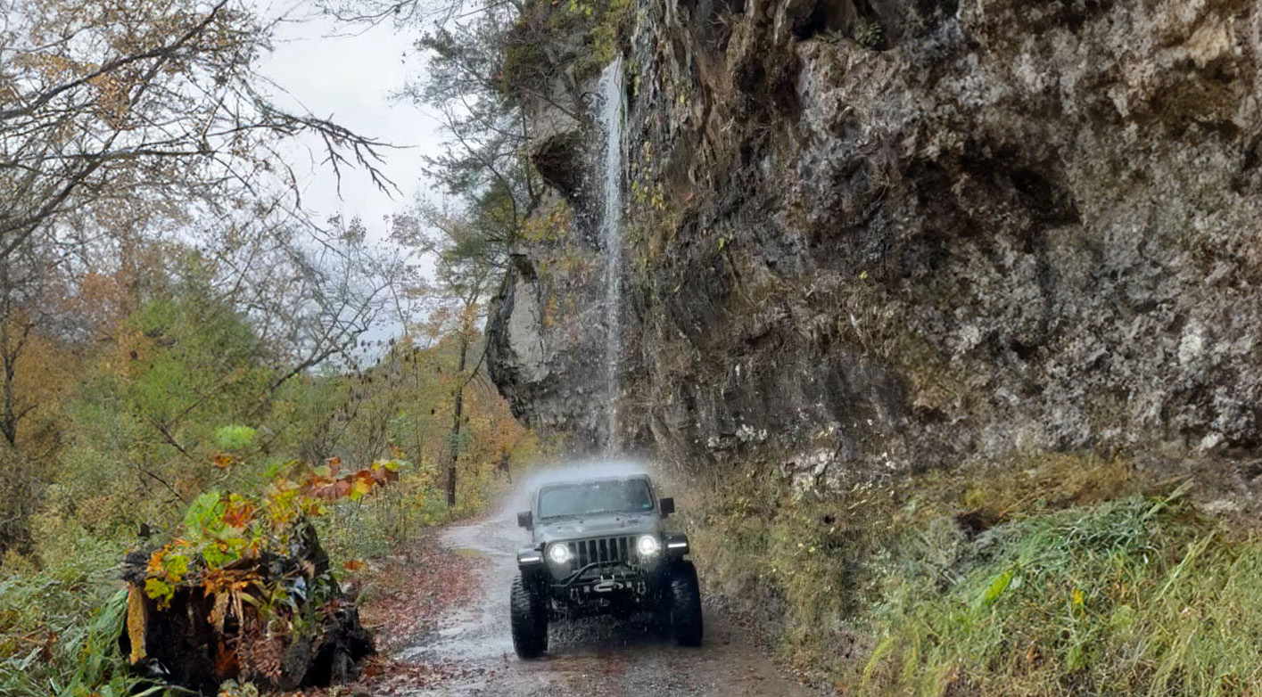
This is the easiest and one of the most uniqe waterfalls ever. You drive your vehicle under it. On Co Rd 5881. Dogs are allowed.
Distance: 0
Ranking: 5 (must do)
Difficulty: Easy
Cecil Cove Loop – Thunder Falls
This trail winds through forested areas, features steep climb, steep descent and 5 creek crossings and beautiful Thunder Canyon Falls. It is muddy through much of the year and parts impassable during rainy season. This area has been said to have been a hideout for 36 fugitives in the early 1900s to include Jesse James and Cole Younger. The Erbie area is thought to be one of the more beautiful areas around and features a historic church you can check out while there. Trailhead is located on old road next to Erbie Church. Dogs are not allowed on trail.
Distance: 7.4
Ranking: 4.2
Difficulty: Moderate
Cedar Glade & South & North Pond Loop
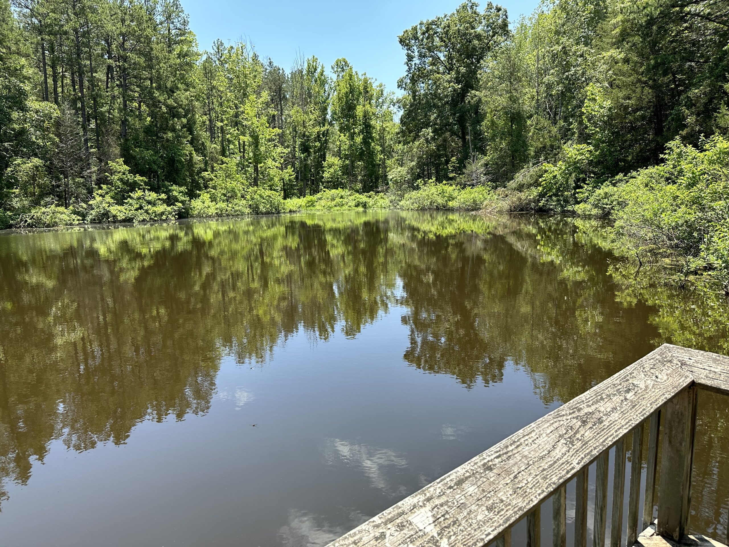
The Cedar Glade area is a wheelchair accessible picnic area with two trails. The Trailhead is located accross the dirt road of the picnic area. Easy hike featuring a viewing deck on the South Pond-wheelchair accessible. This provides wildlife viewing opportunities. There is a North Pond Trail as well and it requires another short easy hike and is not wheelchair accessible. Dogs are not allowed on trail.
Distance: .35
Ranking: 3.5
Difficulty: Easy
Compton’s Double Falls- Amber Falls and Owl Falls
This trail features three major waterfalls, Compton’s Double Falls, Amber Falls, and Owl Falls. All are located along the same trail / creek but you will need to follow the path down around the Compton’s Double falls to the bottom and then follow creek down to find Owl falls. This whole area is beautiful, the Amber Falls are reported to be named after photographer Tim Ernst’s daughter. The trailhead is located off of Cave Mountain Road just past trailhead for Whitaker Point. Dogs are allowed on trail.
Distance: 2.1
Ranking: 4.4
Difficulty: Moderate
Eye of the Needle from Kyles Landing
This trail is one of the most scenic and diverse hikes in the Ozarks. This hike includes waterfalls, caves, rock formations, rock climbing, and a beautiful overlook. Anyone from a beginner to an avid hiker can find something to enjoy on this hike. Dogs are not allowed on most of this trail.
Distance: 4.6
Ranking: 4.6
Difficulty: Moderate
Fern Falls
This trail flows in and out of old Forest Service roads. It was a hidden gem for many years, now offers a lightly trafficked easy hike through woods to a waterfall and overhang. Trailhead is just off westside Hwy 7 at the “Historic Highway 7” sign, just pull off on grass. Dogs are allowed on trail.
Distance: 1.5
Ranking: 4.5
Difficulty: Easy
Hammerschmidt Falls
This trail is best visited in the spring or late fall when the water is flowing. It’s an easy hike with a nice payoff. Located near Jasper, the trail head is just off Hwy 74, across the highway from horseshoe canyon ranch rd with a small parking area along the highway. The trail follows along an old road, past a pond, through an area with some electric lines to a trail in the woods. Dogs are not allowed on this trail.
Distance: .07
Ranking: 4.5
Difficulty: Easy
Haw Creek Falls
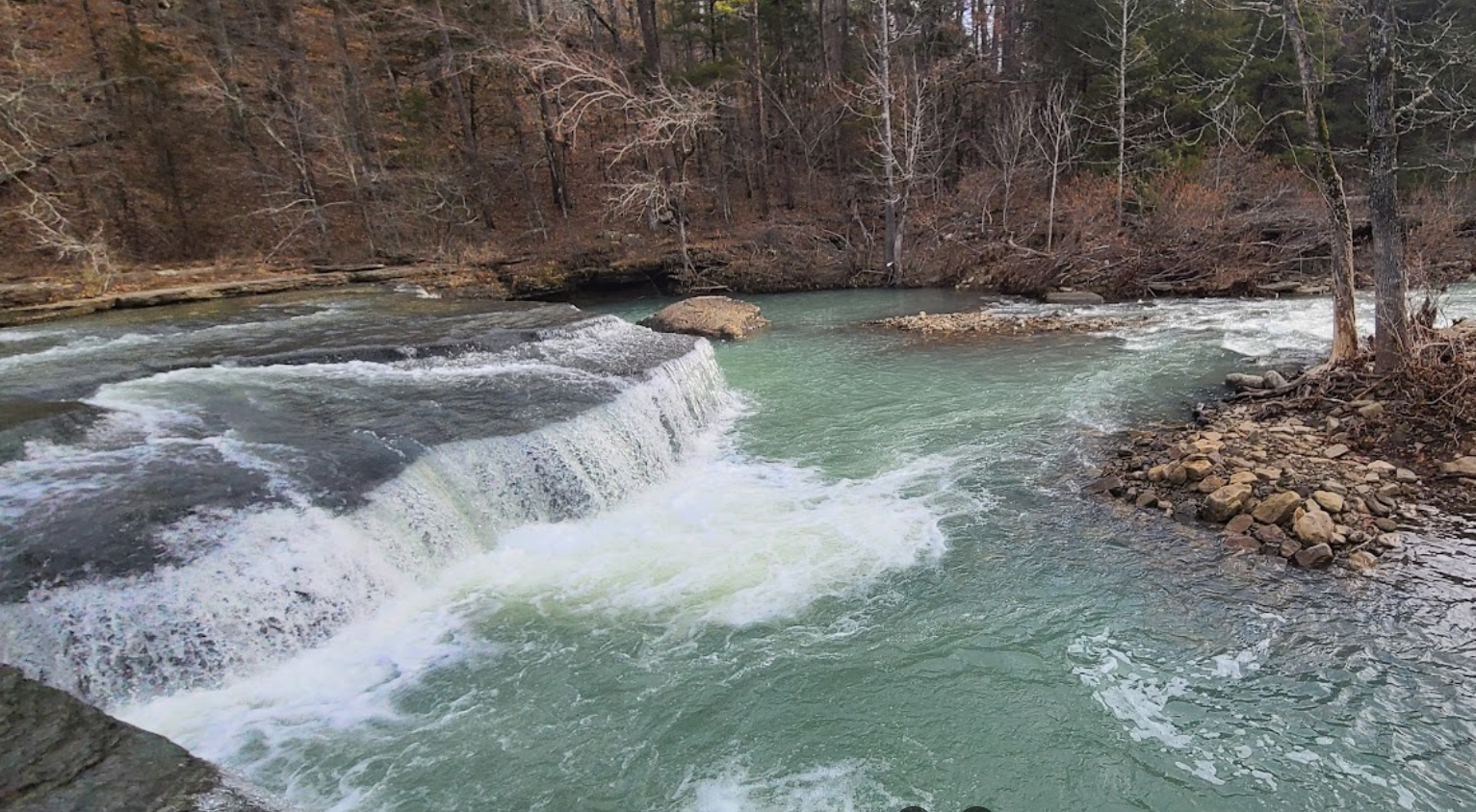
Right off the road and being six foot tall and about 40 foot wide after a good rain makes this a great place to stop if you are in the area.
Nestled in a secluded part of the Ozark National Forest, Haw Creek Falls is a nice spot situated alongside a stream in the Ozarks. It’s a popular stop for hikers, backpackers, and regular campers alike, as its right on the OHT offering nine primitive sites for camping. While there are no hookups, the campground does have space for travel trailers. Each site typically provides a table and grill, and there’s a vault toilet available for campers’ convenience.
Dogs are allowed on trail.
Distance: .2
Ranking: 4.5
Difficulty: Easy
Hawksbill Crag – Whitaker Point
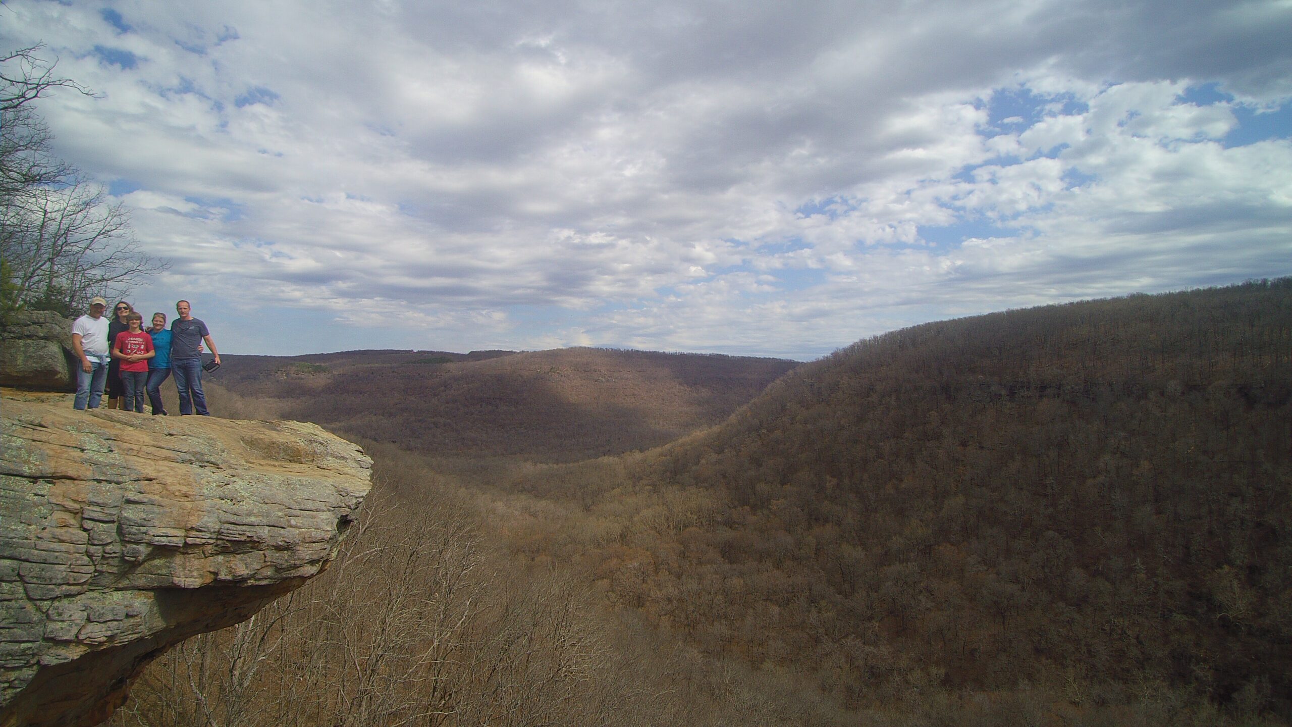
Hawksbill Crag juts out nearly 150 feet over the surrounding landscape below. Go on an early autumn morning, when the low sun floods the valley and lights up the changing maple, beech, hickory, and ash trees it see one of the most recognized spots in Arkansas. This Hike is often featured as one of the top 10 in America. Dogs are allowed on trail.
Distance: 2.7
Ranking: 5
Difficulty: Moderate
Hemmed in Hollow
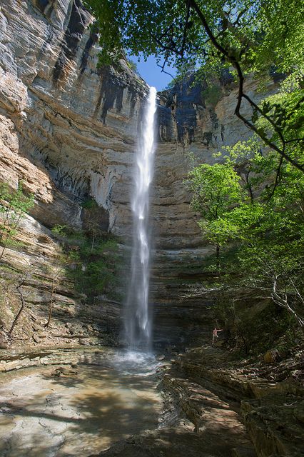
Hemmed-In Hollow Falls and Diamond Falls are two of the tallest waterfalls in Arkansas. In fact, at 209 feet high, Hemmed-In Hollow Falls is the tallest waterfall between the Appalachians and the Rocky Mountains. This approximate 6 mile round trip hike is a mostly downhill hike in which you will want to be mindful of your footing and a vigorous hike out. A nature filled hike with lots of views and possible refreshing resting spot at the bottom if you choose to take trail down to Buffalo River. Dogs are not allowed on trail.
Distance: 5.7
Ranking: 4.8
Difficulty: Moderate to Hard
Hideout Hollow
This is a great little trail that takes you into a large bluff and waterfall area. Along the trail you will see some fantastic sights, thick stands of trees, and an apartment-sized rock that has broken off from the bluff with giant pines sprouting from it. You will pass through a cedar grove and start hearing water so that’s a sign that you are nearing the head of Hideout Hollow. Dogs are not allowed on trail.
Distance: 2.0
Ranking: 4.5
Difficulty: Moderate
Intersection Falls
This is another short easy one not far from the road. Park on the side of the road near the trailhead. Look for a pink ribbon, or rock stacks marking the trail. Dogs Welcome
Distance: .1
Ranking: 4.3
Difficulty: Easy
Koen Interpretive Trail
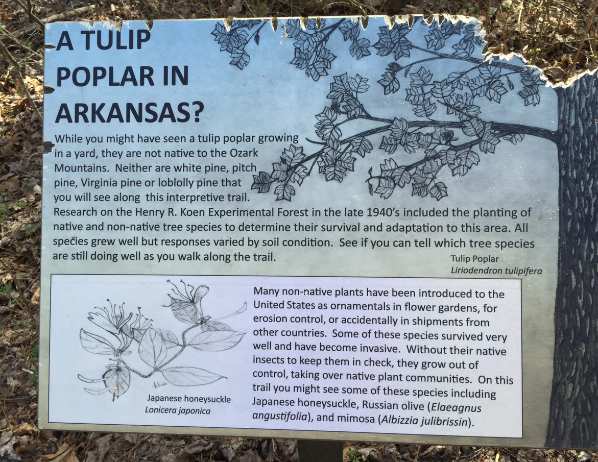
On this short walk, there are 34 different kinds of trees and other plants identified with signs along the trail. The trail is wheelchair accessible and has benches scattered along the way so you can sit down, take a break, and enjoy the peaceful beauty of the forest. There are trail guides at the trailhead that explain all of the plants you will be seeing, so be sure to pick one up. Take Highway 7 north from Jasper, approximately three miles, turn left at the Erbie Campground road, then one half mile down the dirt road turn right. Two hundred yards down that road, take a left and you’ll be at the trailhead parking area. Dogs are allowed on trail.
Distance: .30
Ranking: 3.5
Difficulty: Easy
Liles Falls
This trail is short hike to a cascading waterfall. Easily access from Erbie Campground Road best viewed right after a rain. Dogs are not allowed on trail.
Distance: .3
Ranking: 4.3
Difficulty: Easy
Lonesome Hollow Falls
This trail is a well spent 30 min if you are looking for beautiful waterfall. Running best right after a rain or in spring. Trailhead is at end of Taylor Ridge Rd in Cowell. Dogs are allowed on trail.
Distance: .6
Ranking: 3.8 – must have rain
Difficulty: Easy to Moderate
Lost Valley – Eden Falls
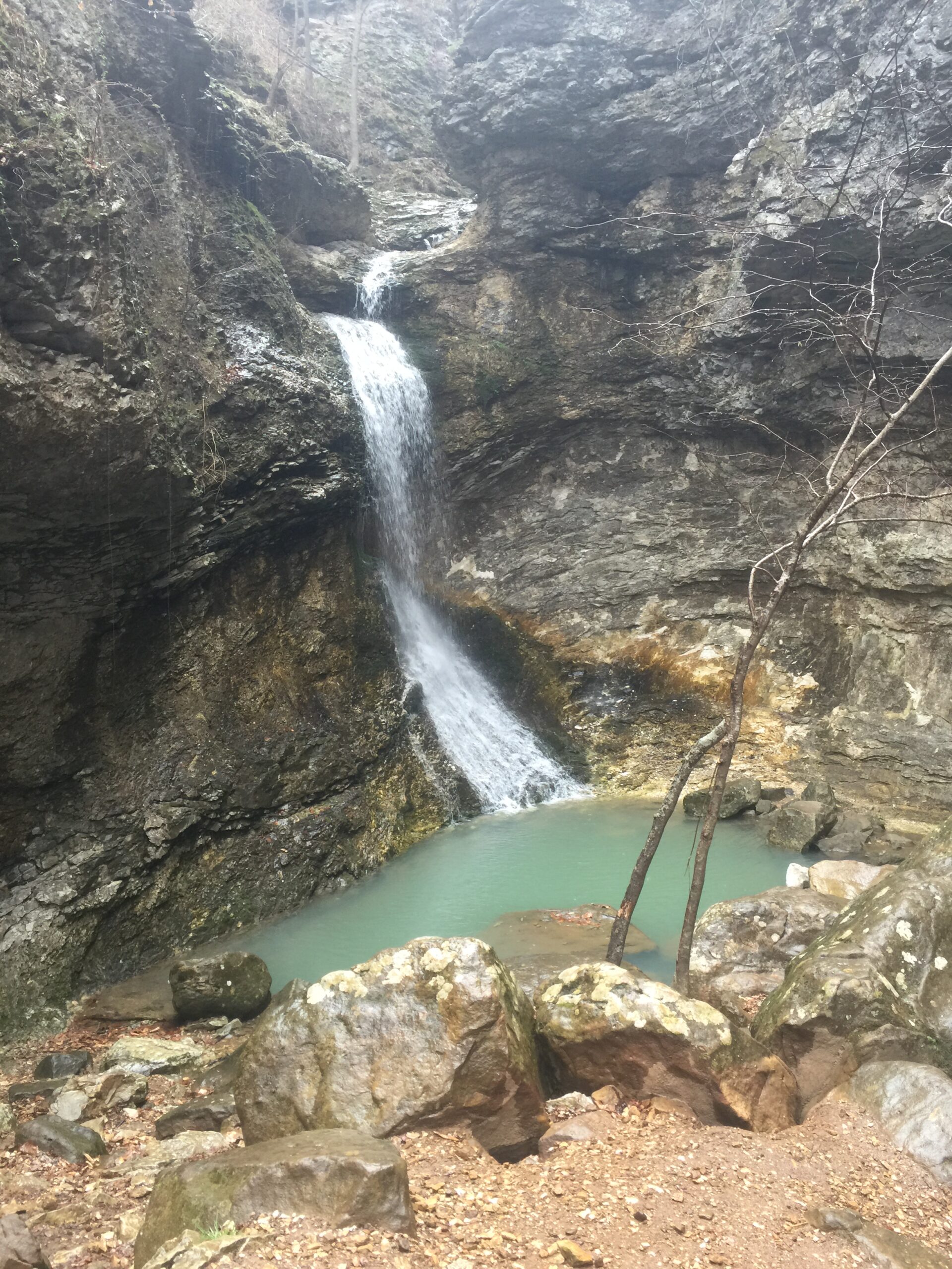
A fantastic hike, trail begins and ends at Lost Valley Campground just off Highway 43 between Boxley and Ponca. Discover the “Siamese Beeches”, two trees that have grown together over the years; the “Jigsaw Blocks”, stunning natural bridge with Cobb Cave which is a giant overhang you can walk back into. For a challenge hike up well kept trail to upper and lower Eden Falls, which are absolutely beautiful. Great photo ops but be aware the rocks near the falls can be slippery. The most adventurous will want to bring a flash light, at top of the upper Eden Falls trail there is a path into a hidden cave. You will need to crawl a short way either up through the spring or through narrow path with a couple of squeeze spots. If you can do it the reward is amazing, it opens up into a large room with a 35 foot waterfall flowing into it from the ceiling of cave. Dogs are not allowed on this trail.
Distance: 2.3
Ranking: 5 (must do)
Difficulty: Easy to Moderate
Magnolia Falls
The trail is usually pretty easy to follow. Still might want to download a trail map. After crossing the little stream hangs a left to go to the falls. Or go forward & go downstream for some smaller falls.
Distance: 2.1
Ranking: 4.6
Difficulty: Moderate
Native American Falls
This trail features a large majestic cascading waterfall that is worth seeing but you have to work to get there. Trail head is right off of Hwy 7S just past Sand Gap. Dogs are allowed on this trail.
Distance: 1.5
Ranking: 4.3
Difficulty: Moderate to Hard
Ozark Highland Trail
The Ozark Highlands Trail (OHT) is the longest hiking trail in our area. It crosses the Ozark National Forest and is recognized as one of the most scenic trails in the US. This is a popular trail for backpacking, camping, and hiking. The trail starts at Lake Ft. Smith State Park but we will be joining it at Arbaugh. The trail crosses the forest to Woolum located on the Buffalo National River where it joins up with the Buffalo River Trail (BRT). Trailhead access points are located at Arbaugh. Ozone, Fort Douglas, Fairview, Ben Hur, Richland Creek, Richland Dr, and Woolum. The trail travels through a wide variety of forest landscapes ranging from lower streamside elevations to high ridges. Scenic bluff and rock formations along with high vistas are evident along most sections of the trail. Dogs are allowed on trail.
Distance: 270
Ranking: 4.9
Difficulty: Hard
Paige Falls & Broadwater Hollow Falls
This trail is a short and slightly challenging. It’s a quick hike along a creek that features two waterfalls. Best views of falls right after a rain. Trailhead is not well marked and located approximately 2 miles down bumpy dirt road with small parking area. Dogs are not allowed on trail.
Distance: .60
Ranking: 4.5
Difficulty: Easy
Paradise Falls
Trail is narrow and overgrown. This one has 10 falls of sorts but is a bit of a bushwhack. Dogs are allowed on trail.
Distance: 2.5
Ranking: 4.4
Difficulty: Moderate
Parker – Hickman Farmstead
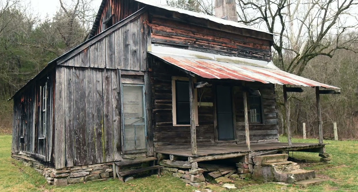
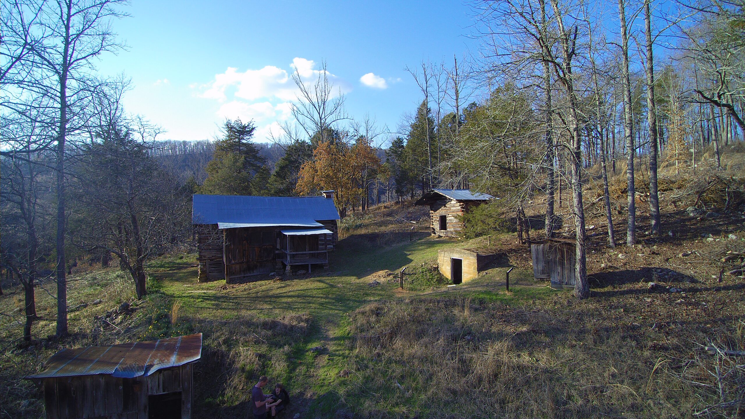
A historic Farmstead listed on the nation Register of Historic Places. This homestead was built by the Parker brothers in the 1800’s. The homestead was constructed of red cedar logs and believed to be one of the oldest standing log structures along the Buffalo National River. No trailhead as its located right on Erbie Campground Road and has a parking area. Dogs are not allowed.
Distance: .3
Ranking: 4.6
Difficulty: Easy
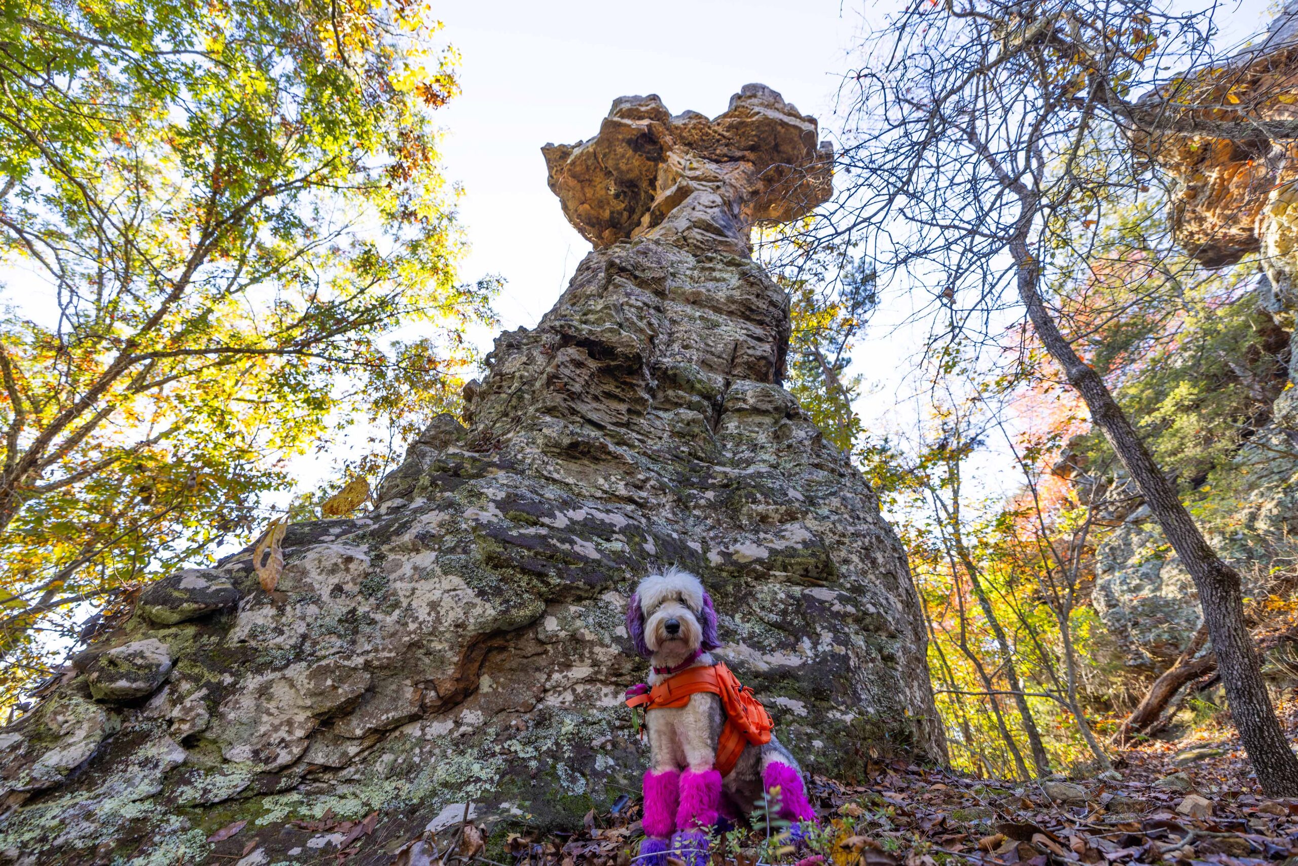
Pedestal Rocks/Kings Bluff
This trail offers two trails in one location and features some unique sites, the iconic Pedestal rocks, as well as arches, caves, overhang, and in spring a couple of waterfalls. Pedestal Rock loop is 2.2 miles and can be completed independent of Kings Bluff additional 1.7 miles. Trailhead right off Hwy 16 with large parking area. Dogs are allowed on trail.
Distance: 2.4 to 5 miles
Ranking: 5 (must do)
Difficulty: Moderate
Round Top Mountain
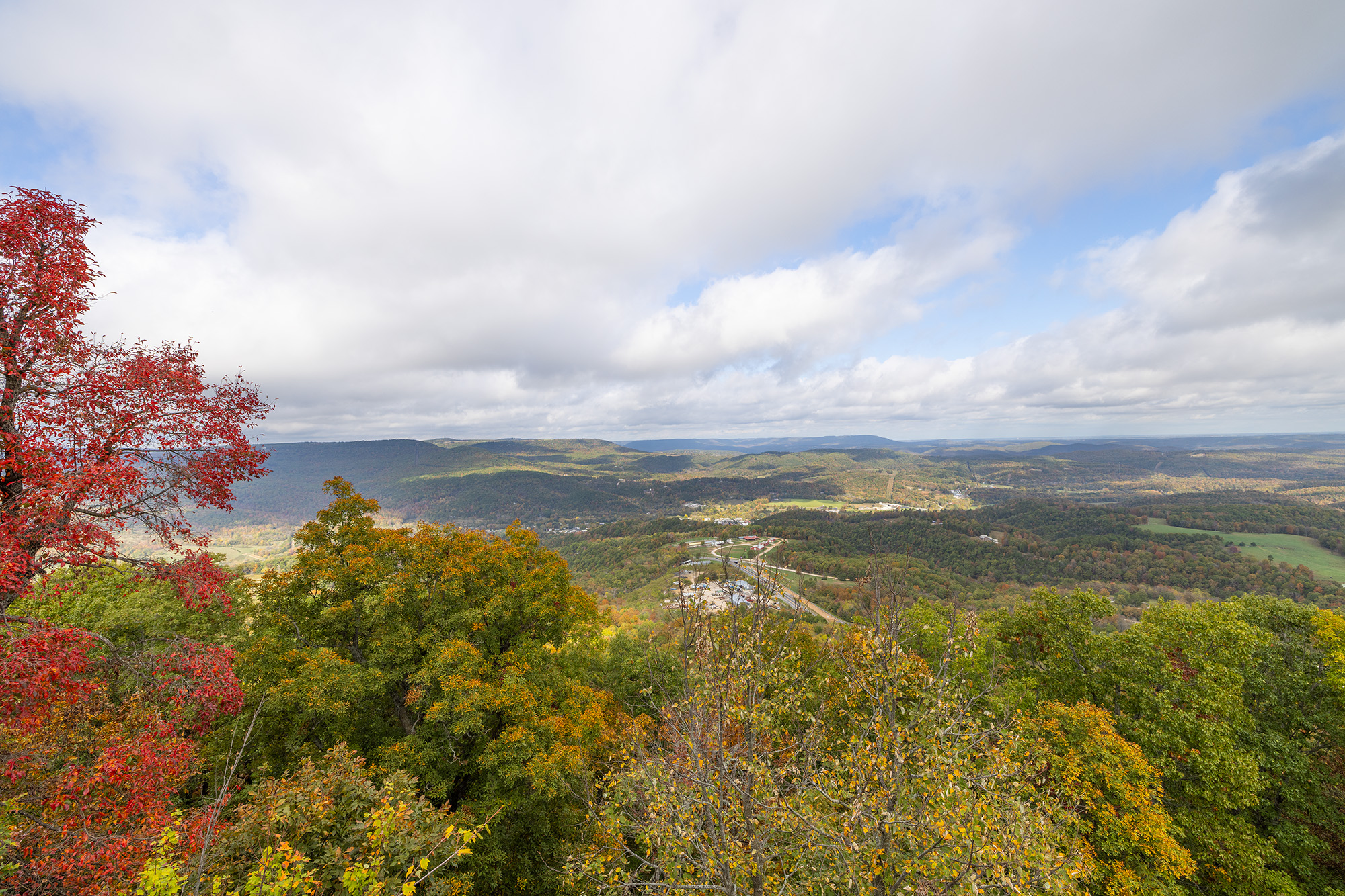
This trail is a couple minutes drive from Jasper, featuring some of Newton County’s most spectacular vistas overlooking Arkansas Grand Canyon. The trail passes towering bluffs, huge trees, including the largest stands of pawpaw’s in the area, and a very lush, diverse plant community. For those interested in WWII, it is the site of a unarmed B-25 bomber 1948 crash that was on training flight from Dayton, Ohio to Little Rock, AR. Trailhead is on west side of Hwy and has large parking area. Dogs are allowed on trail.
Distance: 3 to 5 miles
Ranking: 4.3
Difficulty: Easy to Moderate
Sams Throne
This trail offers two loops, the lower loop and the upper. The upper loop requires a more challenging route but does pay off with the vistas. This is a popular rock climbing location. Named after Sam Davis, an early evangelist said to have climbed to the top and preach to the valley. Trailhead is off of Hwy 123 at the back of Sam’s Throne campground. Dogs are allowed on trail.
Distance: 1.2+
Ranking: 4.4
Difficulty: Moderate
Sandstone Castle
This trail takes you through forest, past old homestead, along a pond and through wild blueberries to the bluff’s edge. With scenic views of the valley, you can follow small trail across the top of bluff and explore the sandstone formations. The Sandstone Castles are actually a series of caves cut into the rock of the bluff at the top of the ridge overlooking Big Devil’s Fork and Long Devil’s Fork high above where they join at Twin Falls of Richland. The caves have ‘windows’ overlooking the valley below. Legend has it this place was used by criminals and civil war deserters to hide out from the Law. The trailhead we used was unmarked spot on dirt road with a small pull off on east side of Co Rd 297. Dogs are allowed on trail.
Distance: 1.9
Ranking: 4.3
Difficulty: Easy to Moderate
Six Finger Falls
I wouldn’t really call this a hike but more a roadside falls. But, you might as well stop, its well worth it. Can be slippery descending to the area after recent rains, but nothing terrible. It’s a unique fall for sure, haven’t seen anything else quite like it in the state. Can be very busy depending on when you visit. Dogs welcome here.
Distance: .1
Ranking: 4.8
Difficulty: Easy
Smith Creek Elise Falls
Elise Falls at the Nature Conservancy’s Smith Creek Preserve (Newton County) is one of the highlights of the area for photographers and nature lovers. The preserve lies above Sheffield Cave (closed to the public) where the largest colony of Indiana bats in Arkansas hibernates each winter. Trailhead can be found right of Hwy 21 at Smith Creek Preserve parking area. Dogs are allowed on trail.
Distance: 1.6
Ranking: 4.2
Difficulty: Moderate
Stack Rock Trail
This trail is great for camping and hiking, but mostly climbing and it’s unlikely you’ll encounter many other people while exploring. The trail is open year-round and is beautiful to visit anytime. Dogs are welcome, but must be on a leash.
Distance: 2.9
Ranking: 3.9
Difficulty: Moderate
Stepp Creek Falls
You want to have a downloaded map on your phone as the trail is not marked well. Stepp Creek trail is partly along a logging road and partly a bushwhack hike in a dense forest. There are several waterfalls and cascades located along the creek. Parking at the trailhead is limited.
Distance: 2.3
Ranking: 4.0
Difficulty: Easy
Sweden Falls
Sweden Creek Falls is a 1.5 mile moderately trafficked out and back trail that features an 81 foot waterfall and is good for all skill levels. Trailhead located off County Rd 9/Madison 3795. Dogs allowed on trail.
Distance: 1.5
Ranking: 4.6
Difficulty: Easy
Terry Keefe & Calypso Falls
The trail to visit Terry Keefe Falls is well-established and easy to follow. However, the side trail to Calypso Falls is more of a short off-trail adventure. Bring a downloaded map to find the Calypso Falls. These two cascades are good ones, and some of the best falls to view in the surrounding area. You can bring your dog.
Distance: 1.1
Ranking: 4.5
Difficulty: Moderate
The Glory Hole
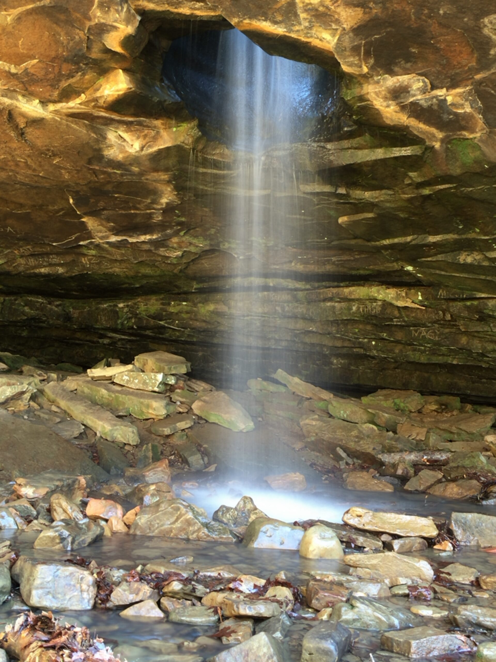
The Glory Hole has to be one of the weirdest waterfalls ever. It started out eons ago like many Ozark waterfalls, just a creek spilling out over a big sandstone ledge. But over the years this little creek eroded a hole all the way through the rock. Now the waterfall starts up above and before the ledge and pours down through a hole into the large shelter cave below the ledge. Glory Hole is cool for sure, plus the fact that it is a relatively easy hike makes it a popular location. Trailhead located southside Hwy 16 right off road- large parking area. Dogs are allowed on trail.
Distance: 4.6
Ranking: 5 (Must Do)
Difficulty: Moderate
Triple Falls
This trail is great hike for the whole family. At .35 mile roundtrip , it offers a beautiful reward. Located very near to Jasper, the trailhead is near a small field on the Camp Orr Rd, through a small wooded area to falls. Dogs are not allowed on trail.
Distance: .35
Ranking: 5 (Must Do)
Difficulty: Easy
Twin Falls (Richland)
This scenic trail offers some beautiful views of Richland Creek, a couple of narrow passages along the bluff above creek, and some rock hopping. Trailhead located at Richland Creek Campgrounds. Dogs are allowed on trail.
Distance: 5.1
Ranking: 4.3
Difficulty: Moderate to Hard
Villines Homestead trail
Over the past couple of years, the Buffalo River National River folks have been spending a lot of time and money fixing up many of the old homesteads along the river. This Homestead was built around 1880 and belonged to Jim “Beaver” Villines a fur trapper and trader. Park at the Ponca- Buffalo River access, cross low water bridge and follow old road trail a short way up the hill. Dogs are Allowed.
Distance: .45
Ranking: 4.2
Difficulty: Easy
Whitaker Point – Hawksbill Crag
Hawksbill Crag juts out nearly 150 feet over the surrounding landscape below. Go on an early autumn morning, when the low sun floods the valley and lights up the changing maple, beech, hickory, and ash trees it see one of the most recognized spots in Arkansas. This Hike is often featured as one of the top 10 in America. Dogs are allowed on trail.
Distance: 2.7
Ranking: 5
Difficulty: Moderate
Explore with
confidence
Inspiration and guidance for wherever your trail may lead.

