Round Top Mountain
Round Top Mountain
Description
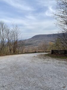
Best thing about this hike is easy access. Right off HWy 7, lots of parking and only a few miles from Jasper, Arkansas.
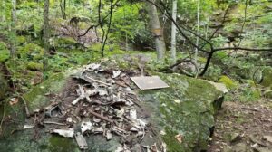
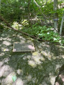
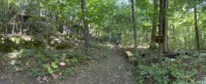
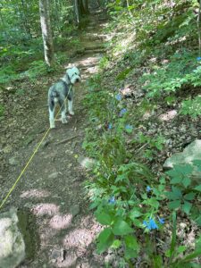
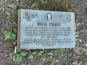
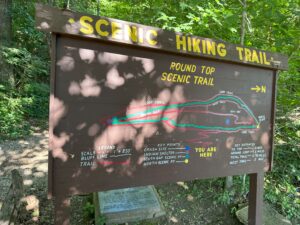
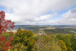
There are two loops on this trail. Think of them as the “Upper Loop” (they call the “West Trail”) and “Lower Loop” (they call the “Loop Trail”). The Upper Loop is the inside loop as pictured on the info board and that has the scenic overlooks on the North and South side. The “Lower Loop” will have the WW2 plaque explaining the crash site and will stay below the bluff line. I would take a right at the “T” to take the lower loop to the crash site first then follow the lower loop all the way around to the backside and once you start heading back south look for the trail up to the “Upper Loop.” Once on the Upper Loop head to the Northern most point then to the Southernmost point. Enjoying the abundant wildflowers on your way.
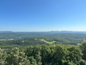
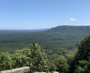
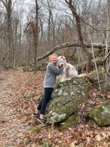
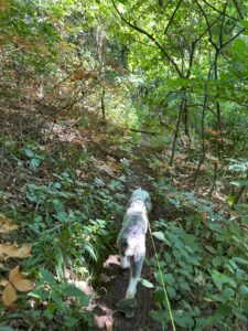
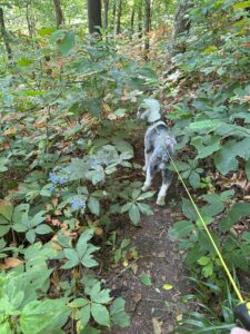
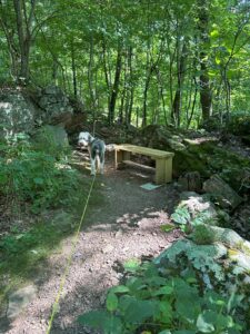
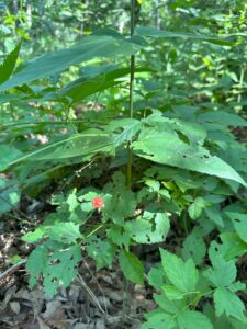
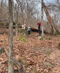
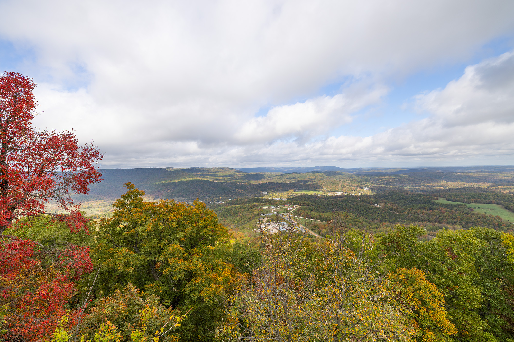
This trail is a couple minutes drive from Jasper, featuring some of Newton County’s most spectacular vistas overlooking Arkansas Grand Canyon. The trail passes towering bluffs, huge trees, including the largest stands of pawpaw’s in the area, and a very lush, diverse plant community. For those interested in WWII, it is the site of a unarmed B-25 bomber 1948 crash that was on training flight from Dayton, Ohio to Little Rock, AR. Trailhead is on west side of Hwy and has large parking area. Dogs are allowed on trail.
The tool room at the Bradley Museum in Jasper has a section of the WW2 plan that crashed on the round top if you want to check that out. Check out our Historic sites page here.
I would rate this a 4.3
Address:
Round Top Mountain Trail, Jasper, AR 72641
Feature GPS
35.987184, -93.179868
Hike distance
3.0 to 5 miles
Distance jasper
2.4 miles or 4 minutes
Min Elev 1727, Max Elev 2069, Ascent 977, Descent 1031
Explore with
confidence
Inspiration and guidance for wherever your trail may lead.


