
Sandstone Castle Trailhead
Sandstone Castle (Twin Falls)
Description
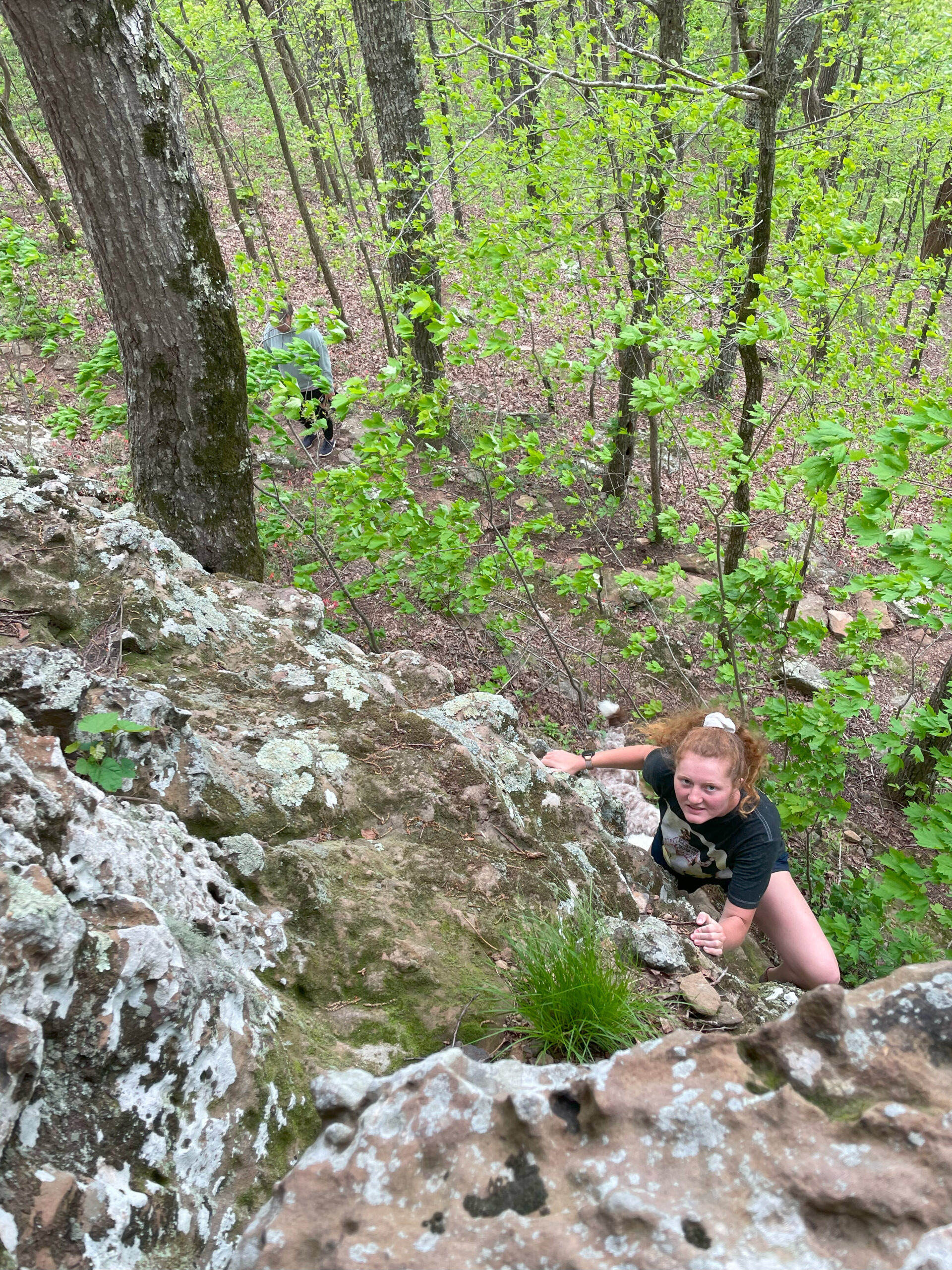
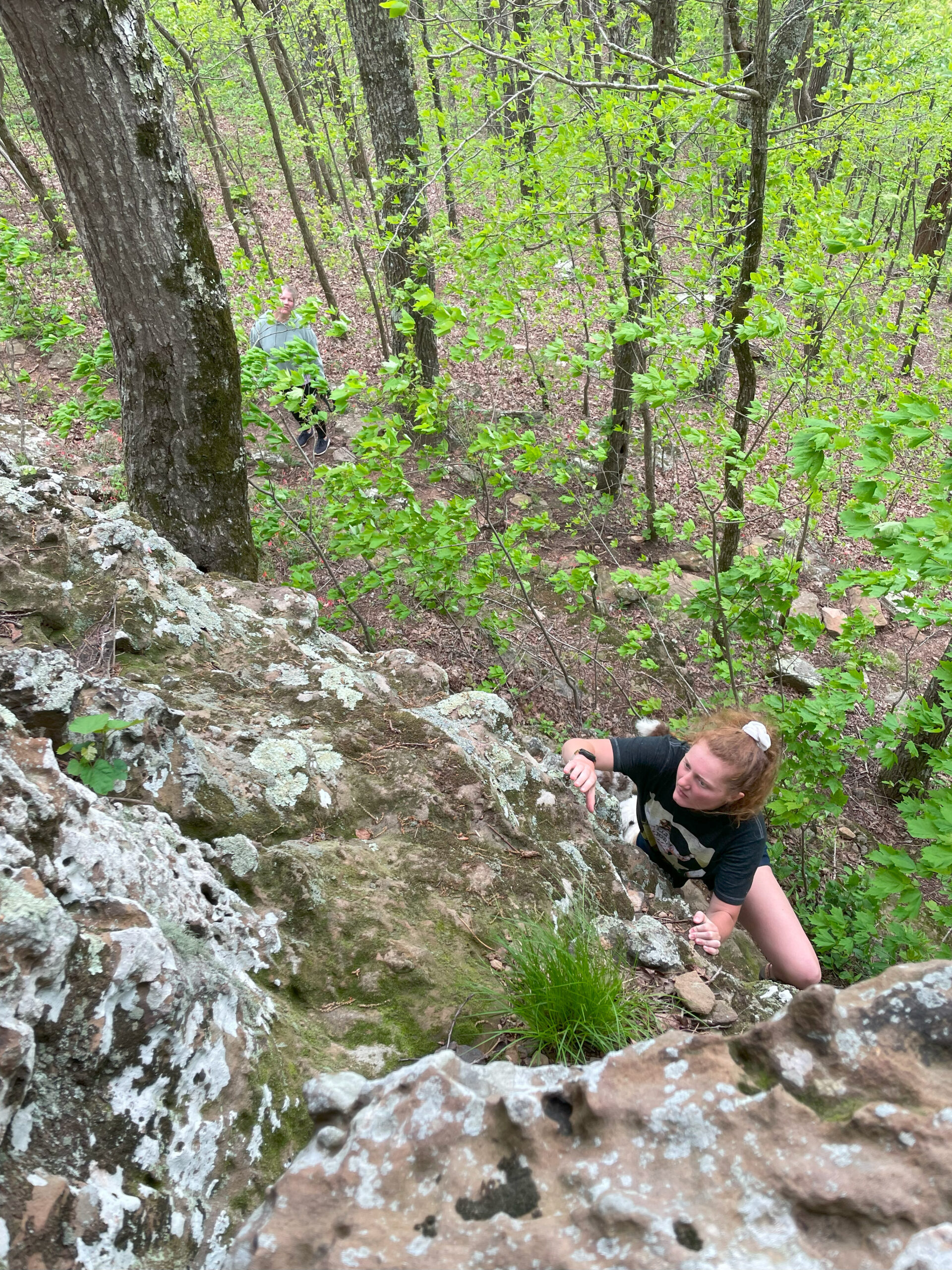
This trail is easy to get to Sandstone Castles. But to continue to Twin Falls from here is a bit of a bushwack and you will need a map downloaded on your phone to find it. This might be the best way to get to Twin Falls during the heavy rain season but if it’s not very rainy do Twin Falls from the Twin Falls Trailhead at Richland Creek Campground. Bring a downloaded map for this route as well.
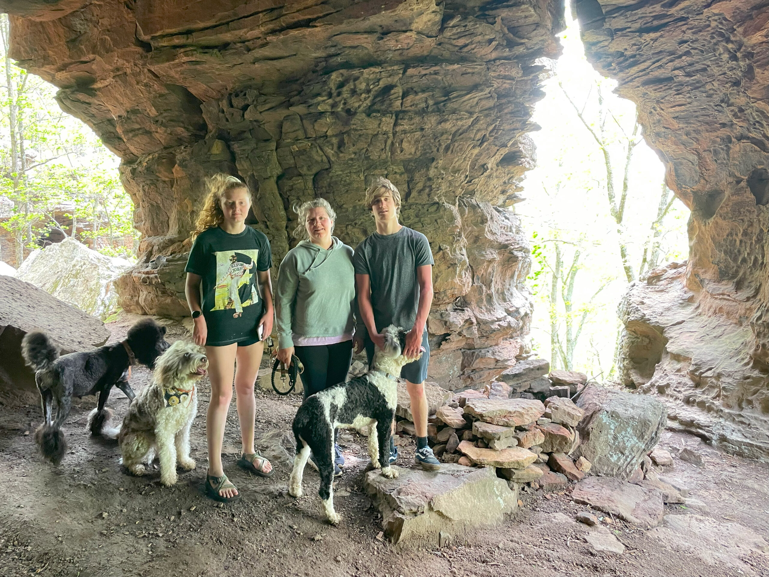
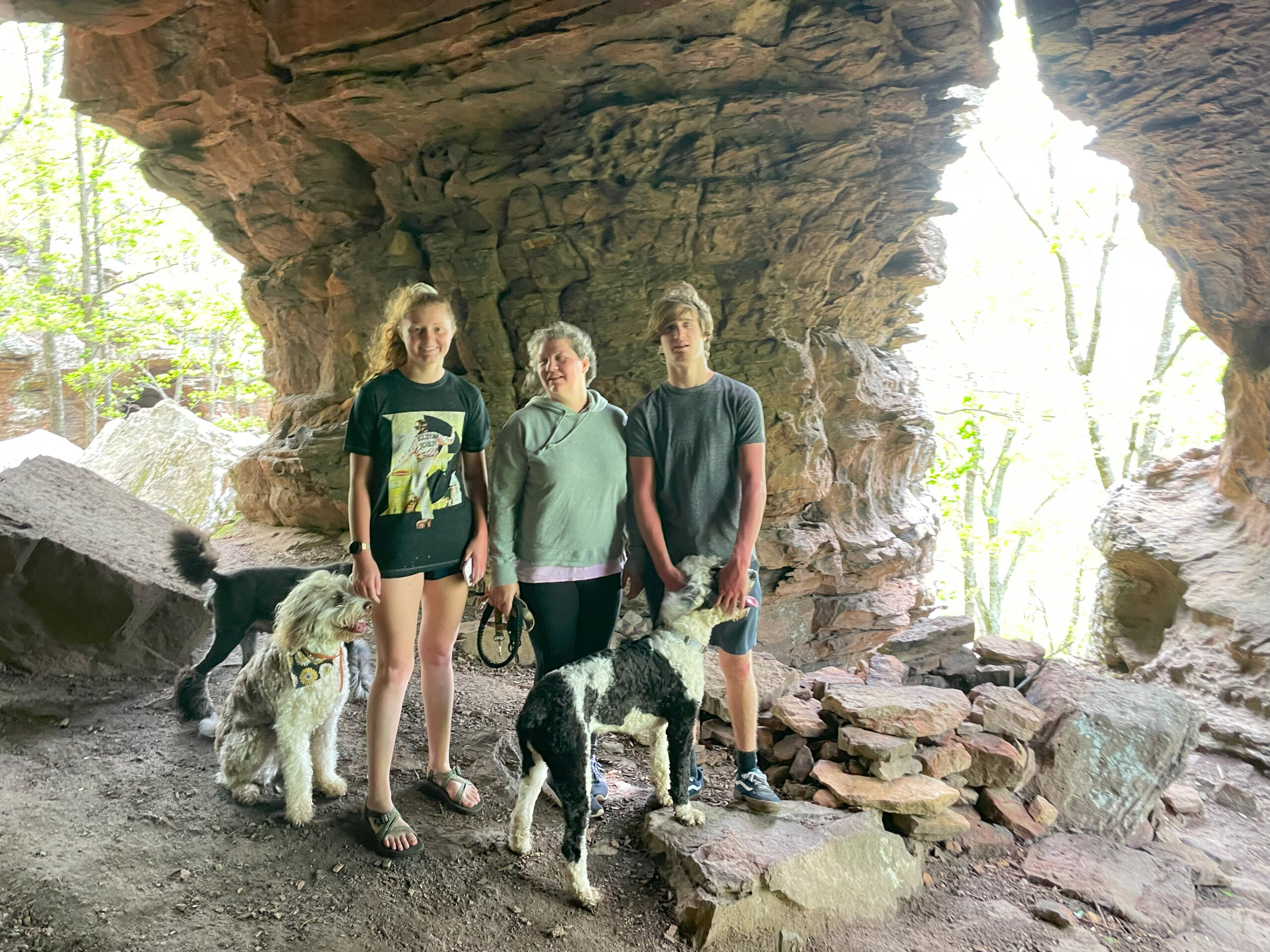
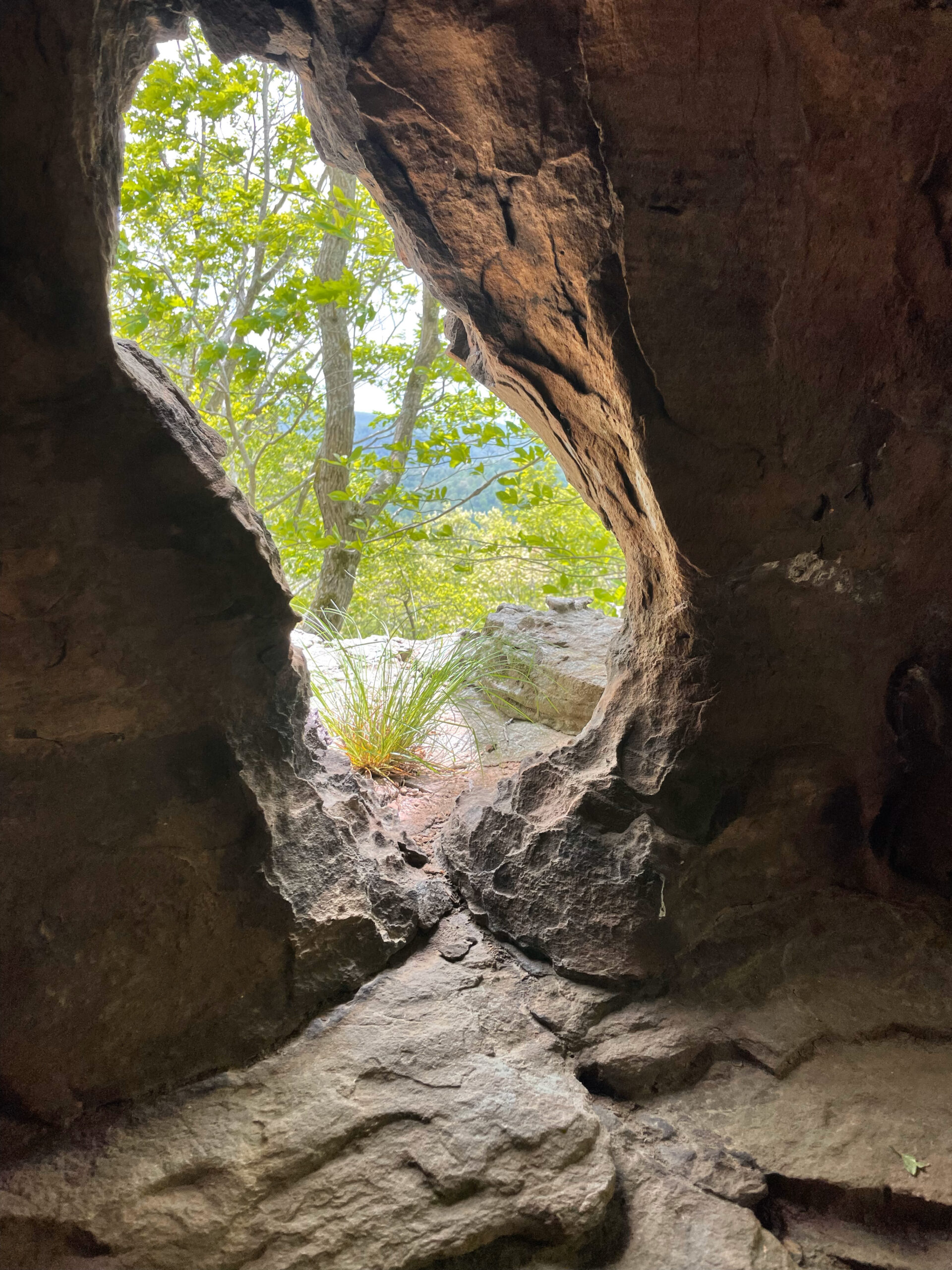
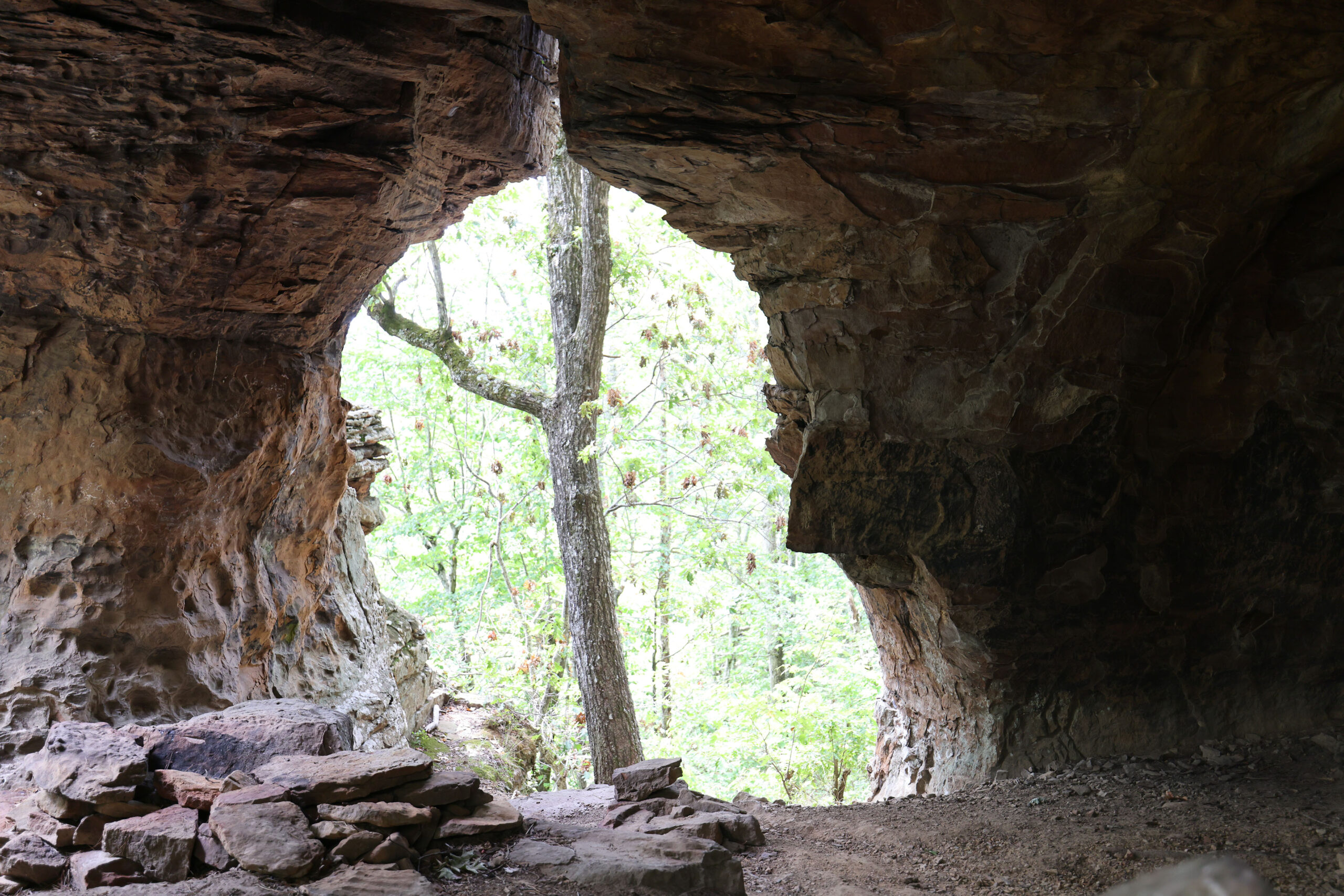
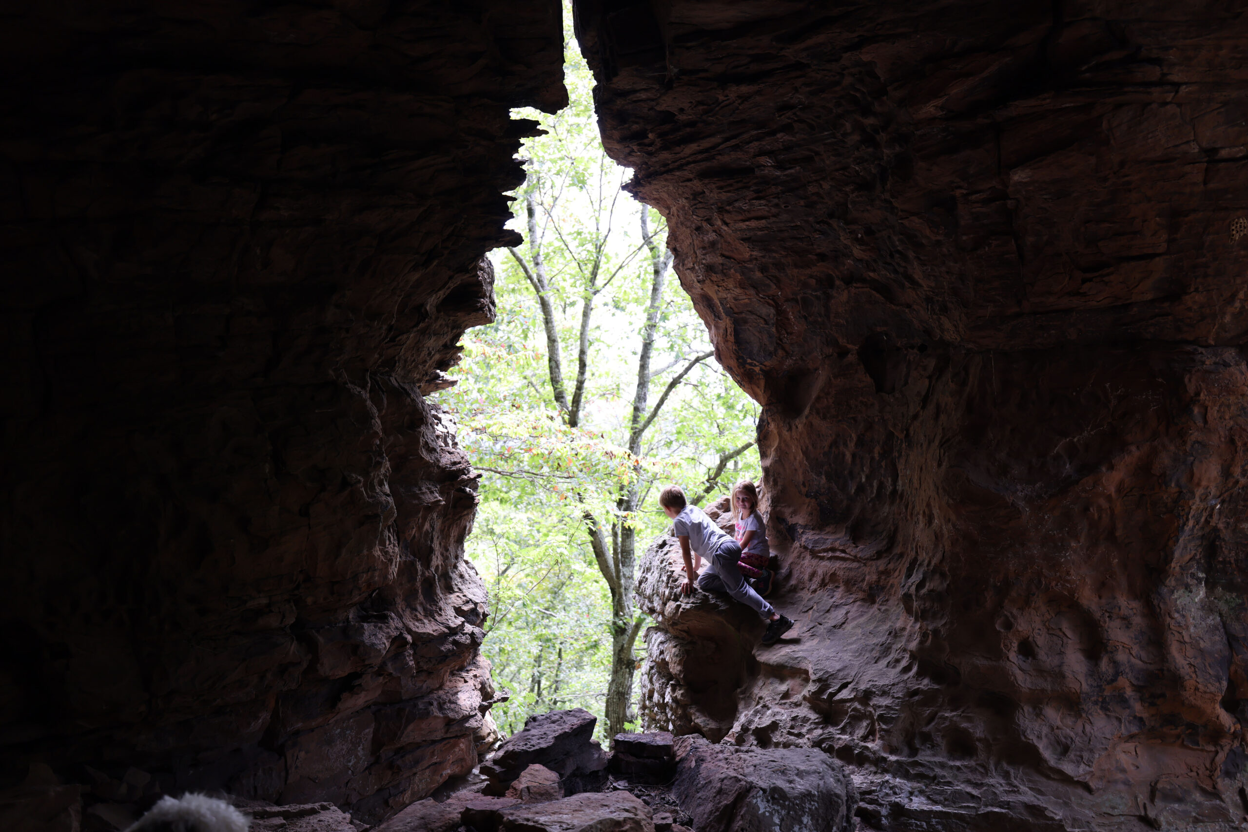
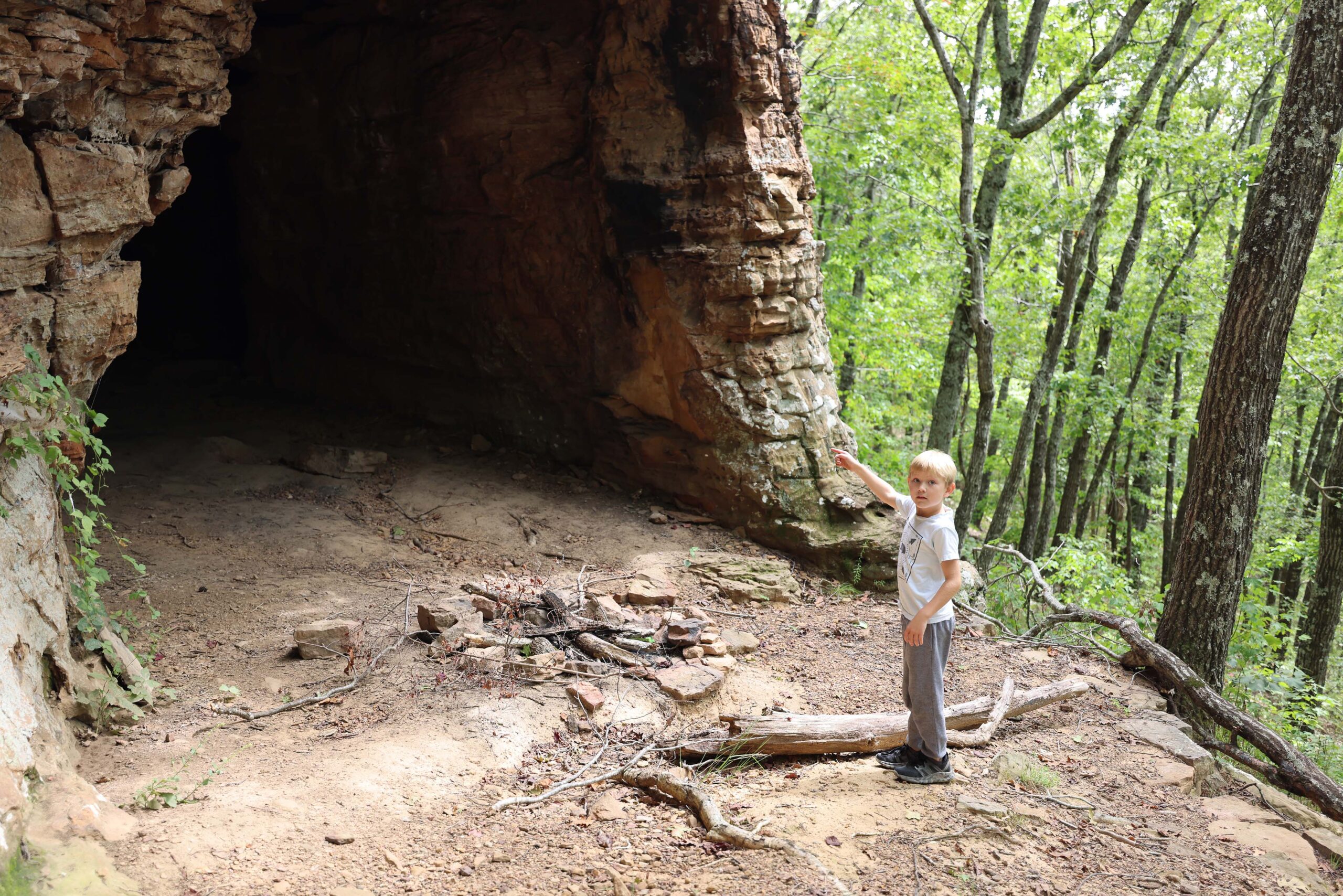
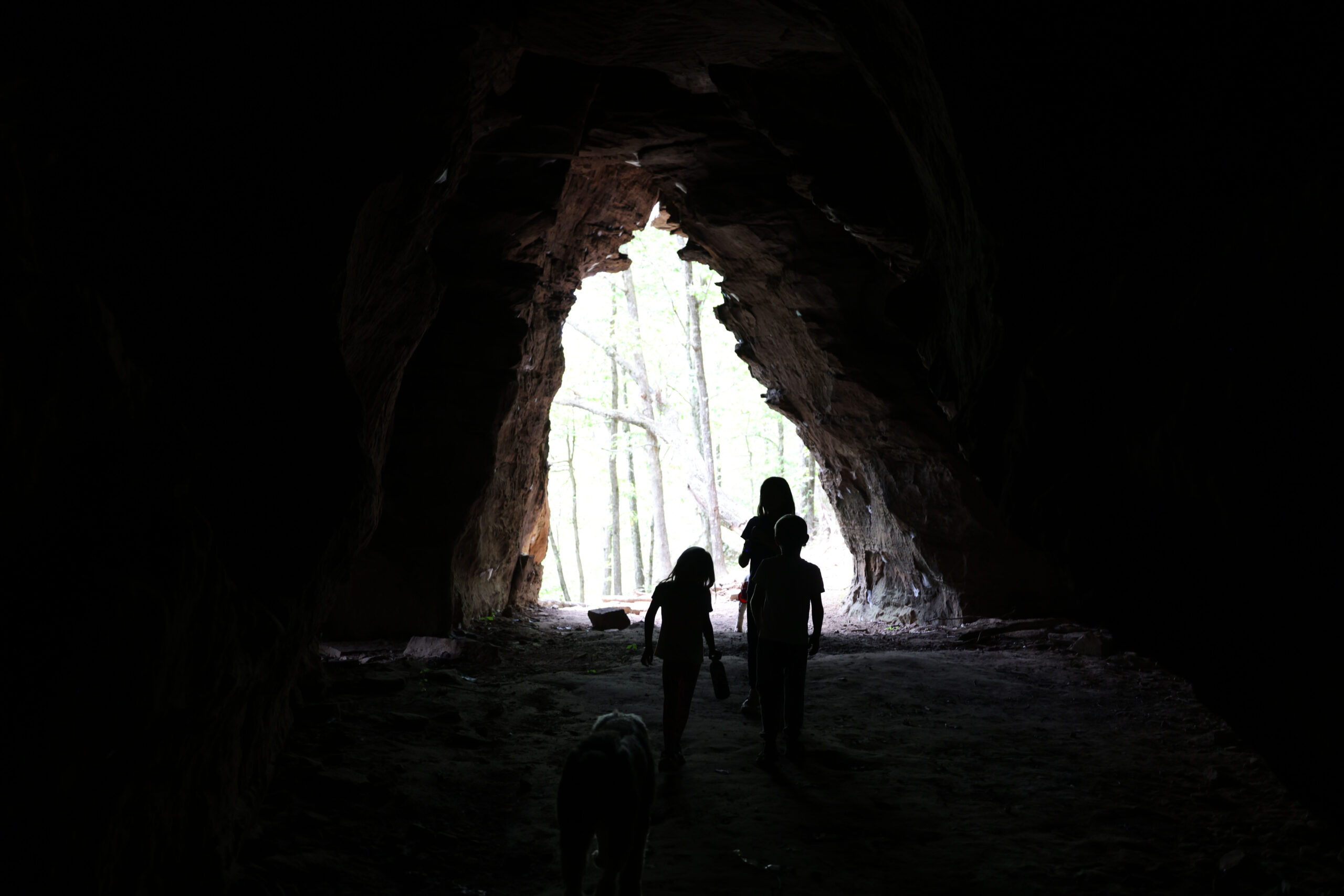
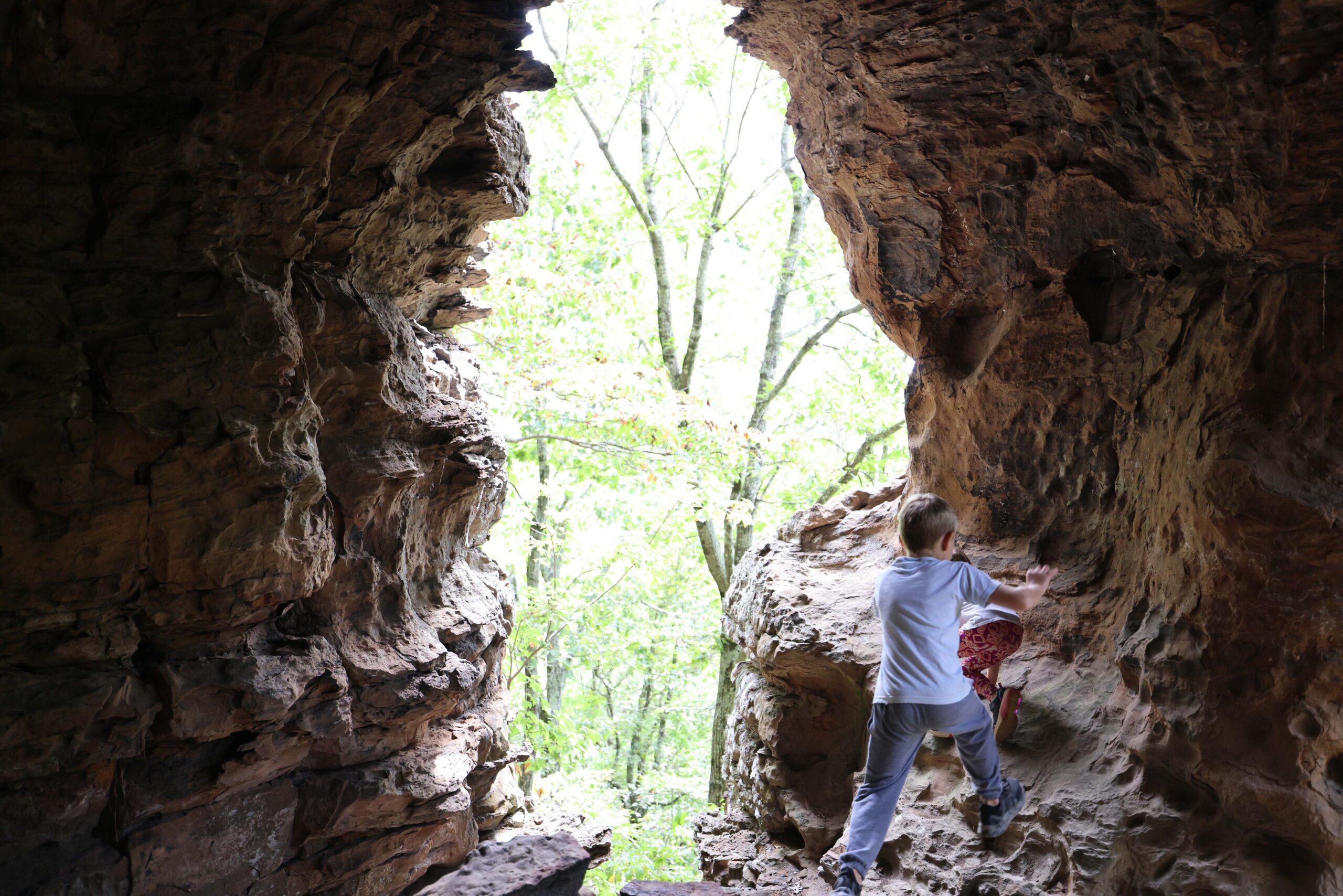
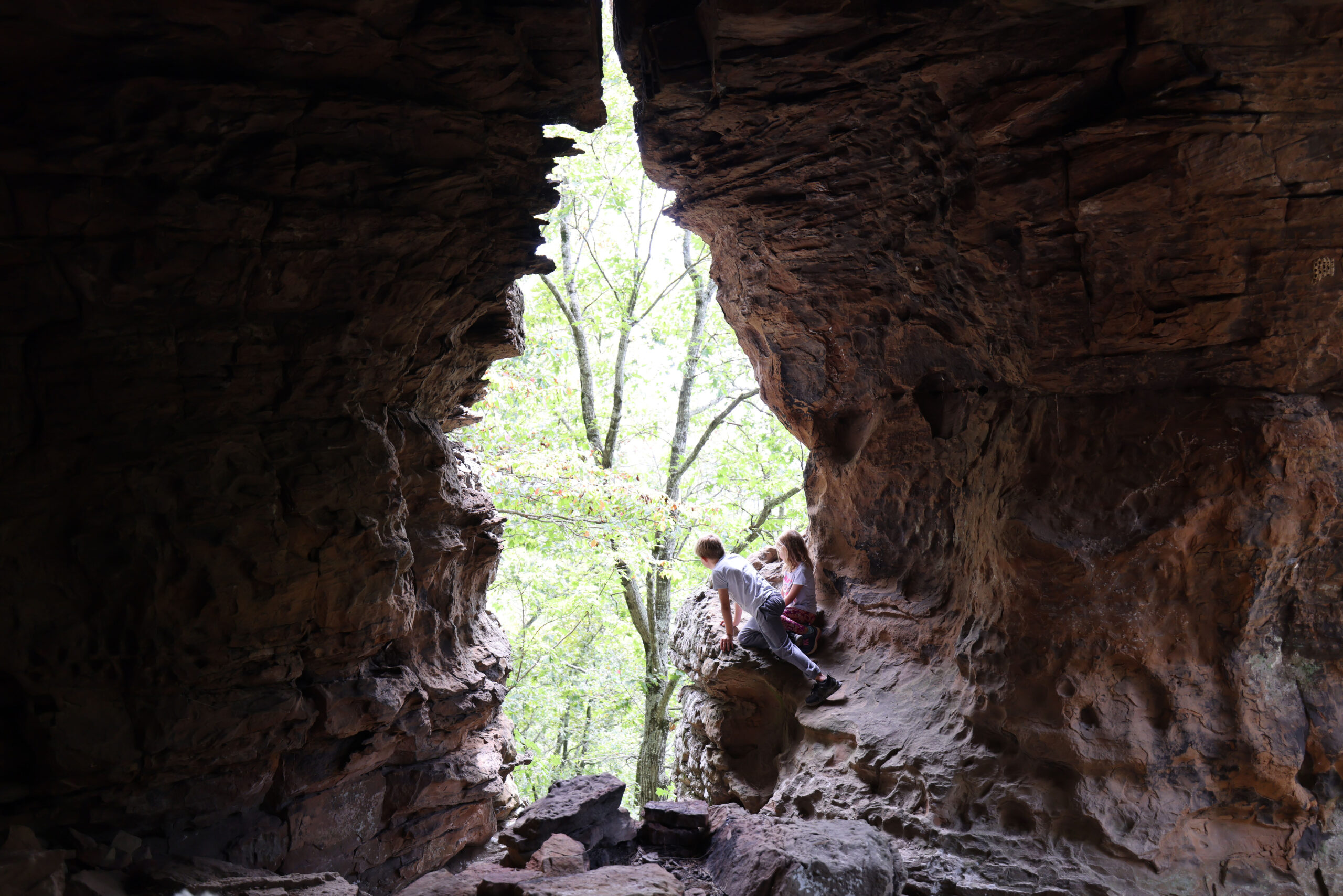
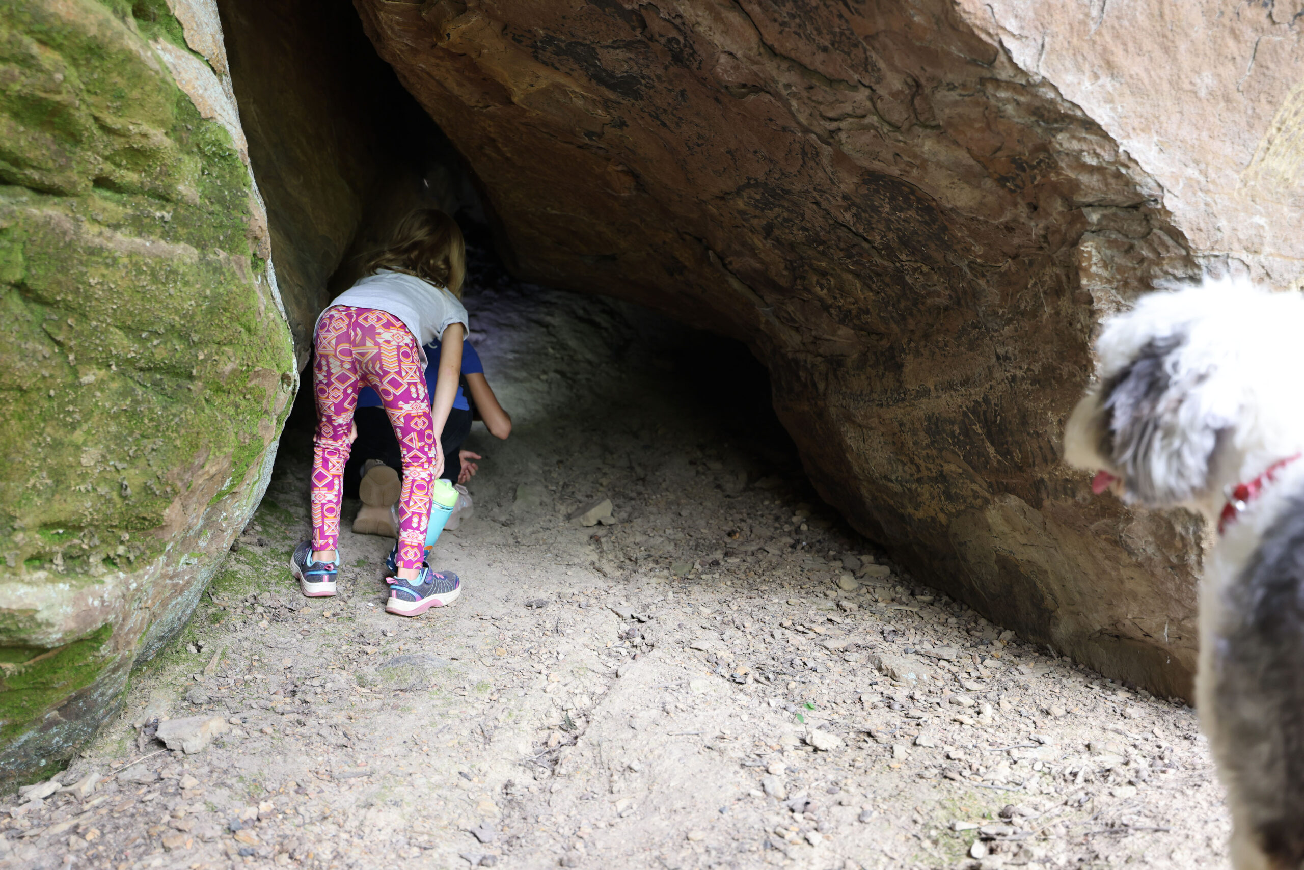
The Sandstone Castles are a series of caves cut into the rock of the bluff at the top of the ridge overlooking Big Devil’s Fork and Long Devil’s Fork high above where they join at Twin Falls of Richland. The caves have ‘windows’ overlooking the valley below. Legend has it this place was used by criminals and civil war deserters to hide out from the law.
Rating 4.3
Address:
Sandstone Castle, Sand Gap, AR 72856
Feature GPS
35.81647, -92.97268
Hike distance
4.8 miles
Distance jasper
26.8 miles 48 minutes
Difficulty
Difficult
Click here for directions from Jasper
Dog Friendly
Yes
")
Explore with
confidence
Inspiration and guidance for wherever your trail may lead.