
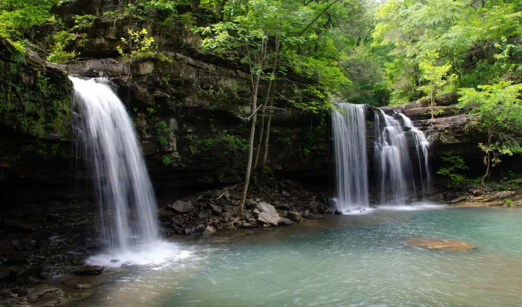
Twin Falls – Richland
Twin Falls
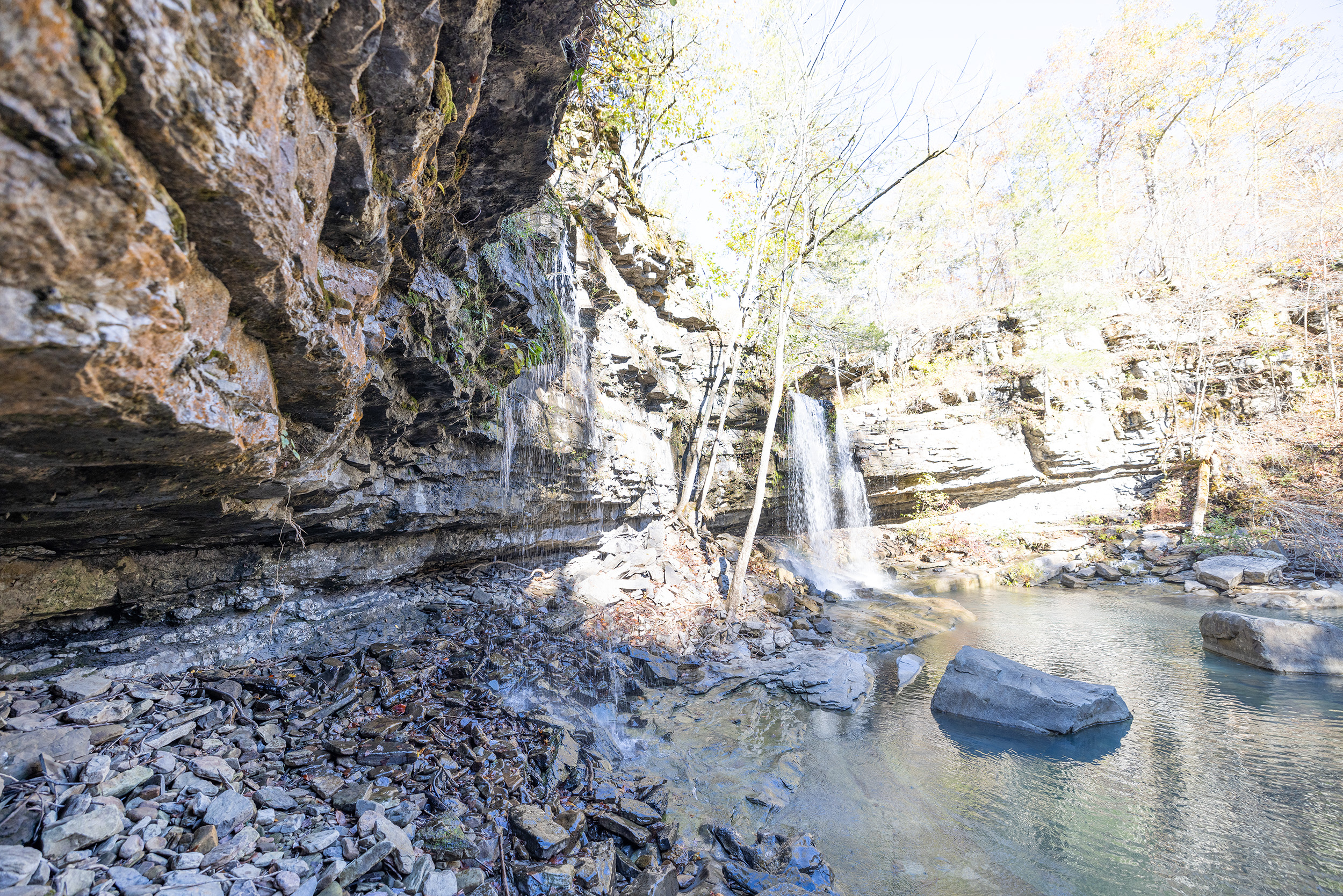
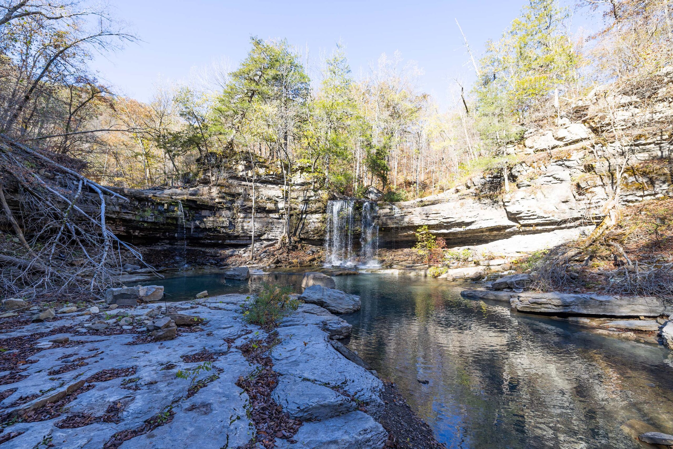
Description
The prefered way to get to Twin Falls is from the Twin Falls Trailhead (Richland Creek Campground). You can also goet to the waterfall from the Sandstone Castle Trailhead. Going from the Richland Creek Campground via the Twin Falls Trailhead is 5.1 miles and going from Sandstone Castle is 6.6 miles. The only reason I mention the Sandstone Trailhead is because after a big rain/flood the path from the campground may be closed. Bring a downloaded map with you from either trailhead as they are both difficult trails to follow depending on the time of the year.
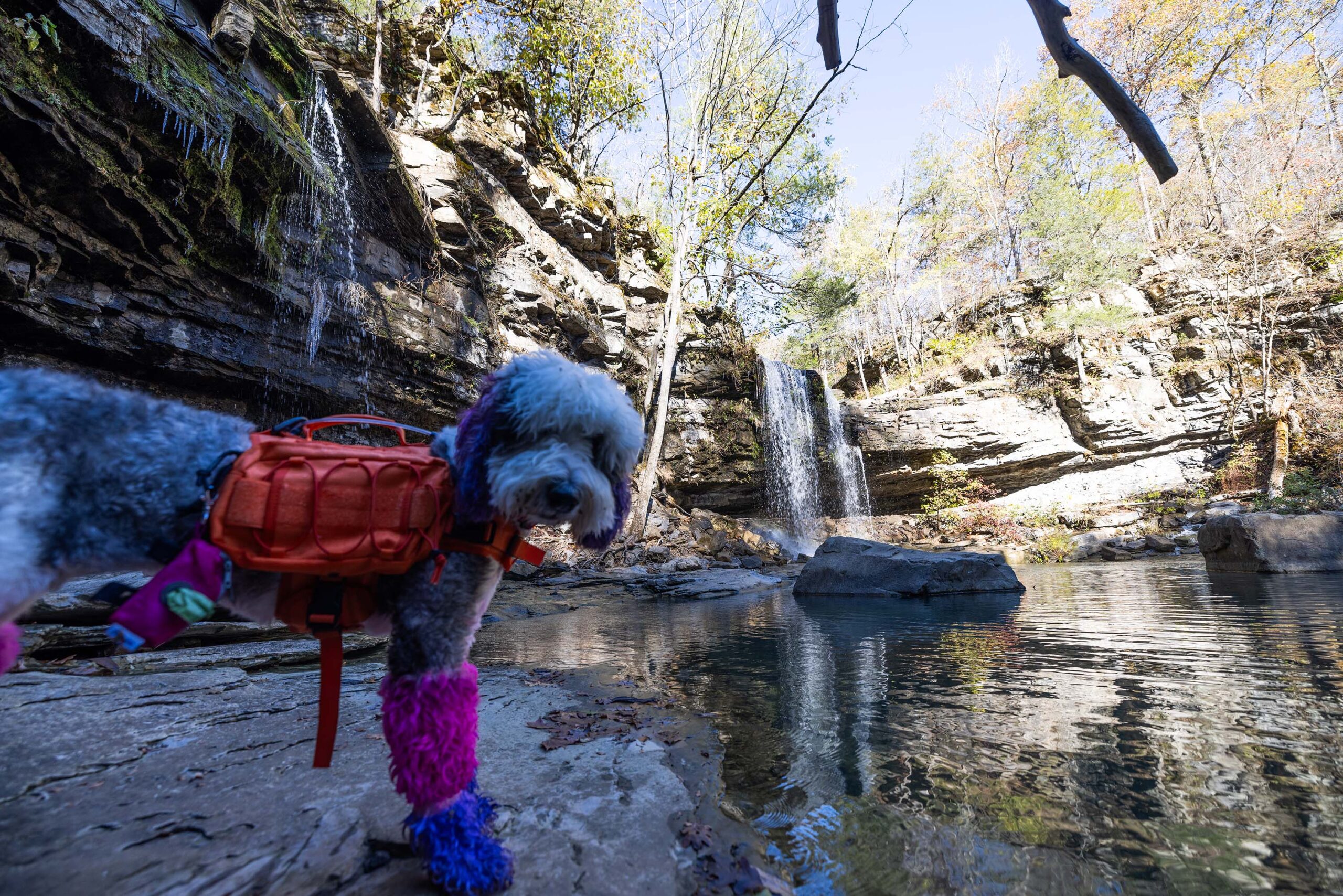
Experience this 5.1-mile out-and-back trail near Witts Springs, Arkansas. Generally considered a moderately challenging route. This is a popular trail for camping, hiking, and running, but you can still enjoy some solitude during quieter times of day. The trail is open year-round and is beautiful to visit anytime. Dogs are welcome but must be on a leash.
This trail is sometimes confused with the Triple Falls in the Buffalo River area as the Buffalo River locals referred to “Triple Falls” as “Twin Falls” for the last century.
Rating 4.3
Address:
Twin Falls, Richland Creek Trail, Sand Gap, AR 72856
Hike distance
5.1 mile
Distance jasper
32.5 miles or 1 hour
Difficulty
Easy
Dog friendly
Yes

Explore with
confidence
Inspiration and guidance for wherever your trail may lead.