
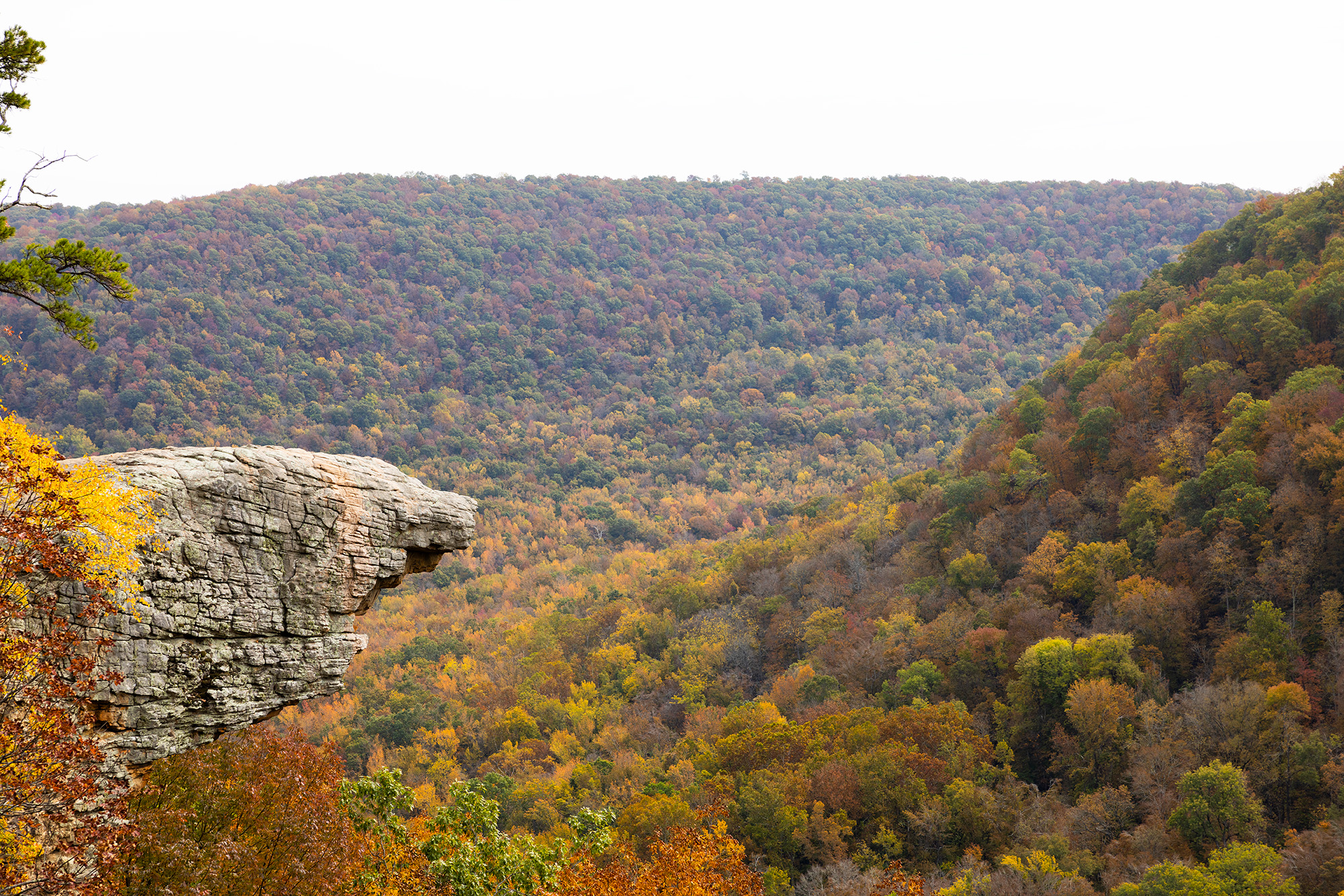
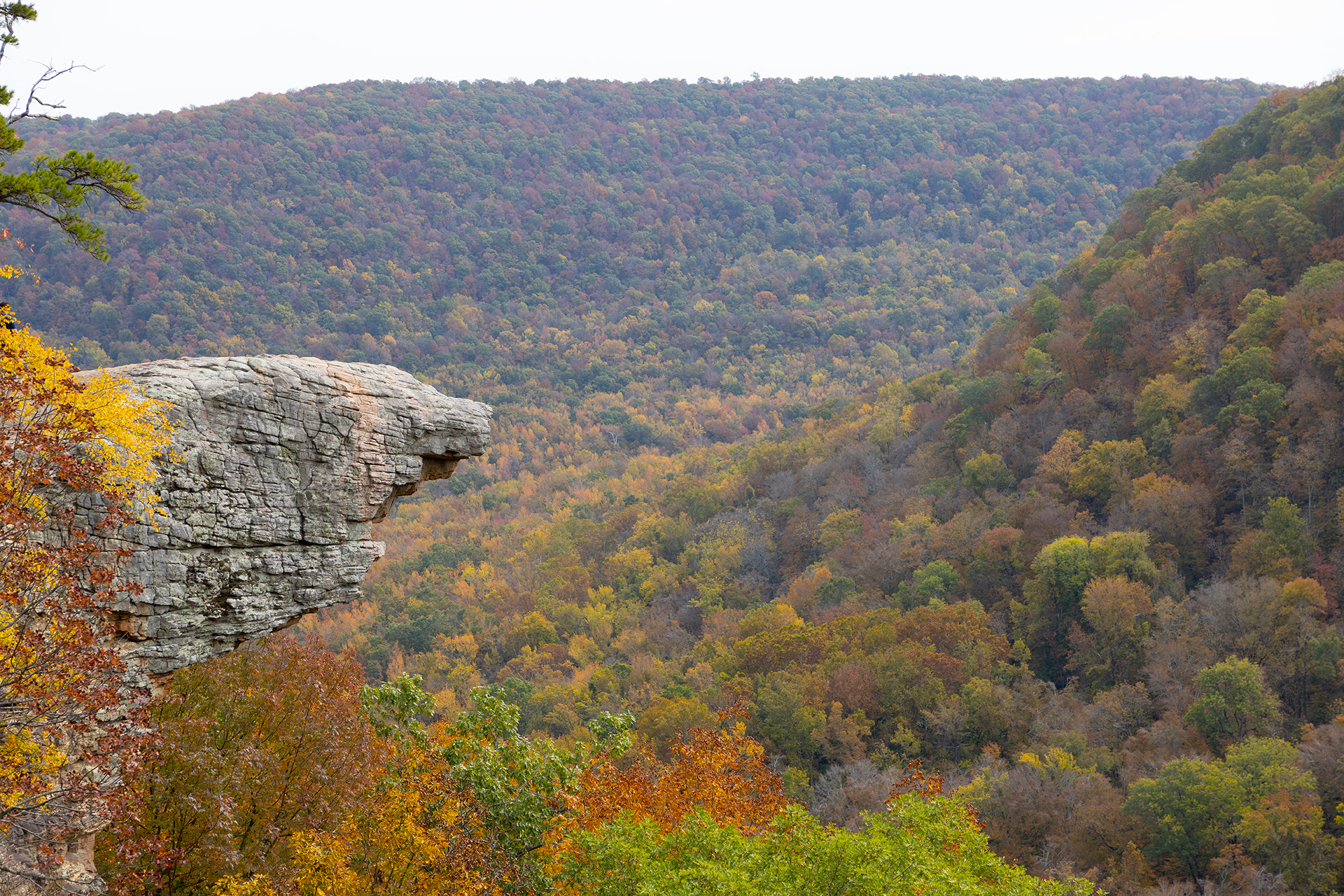
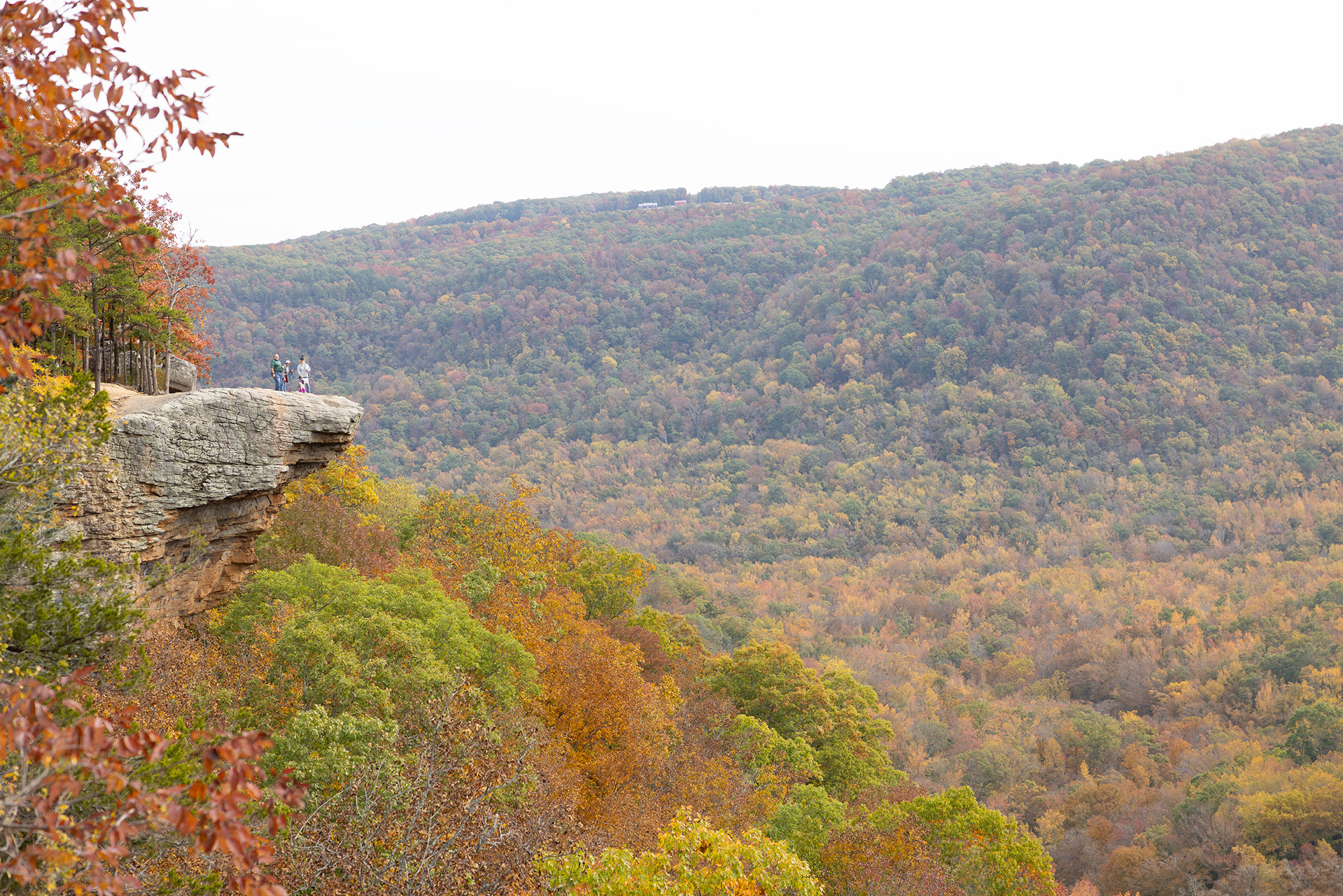
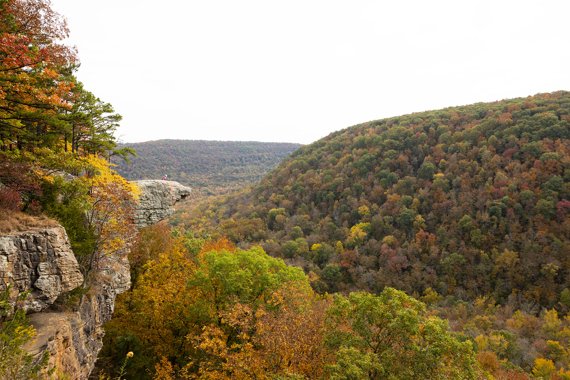
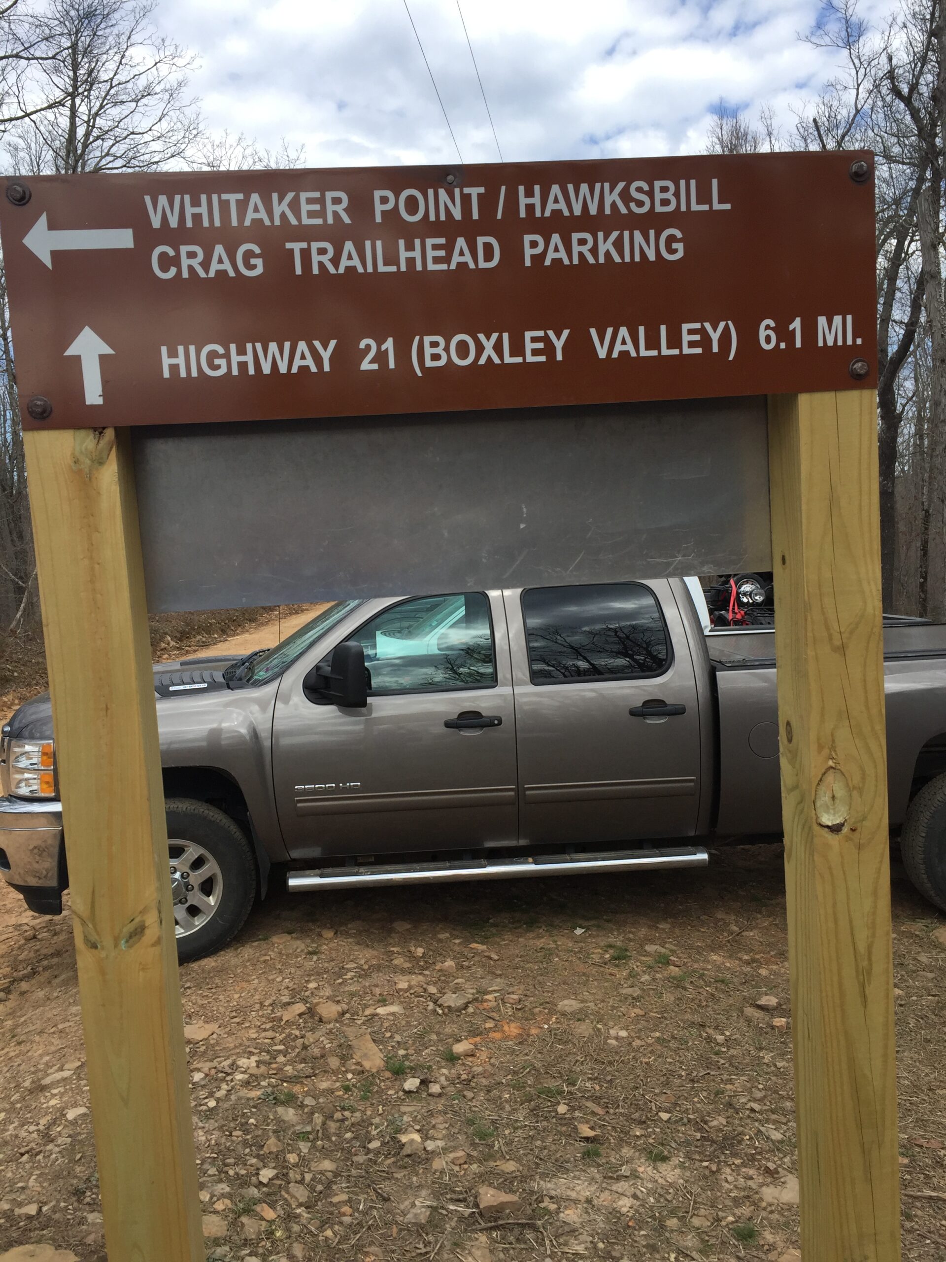
Whitaker Point – Hawksbill Crag
Hawksbill Crag
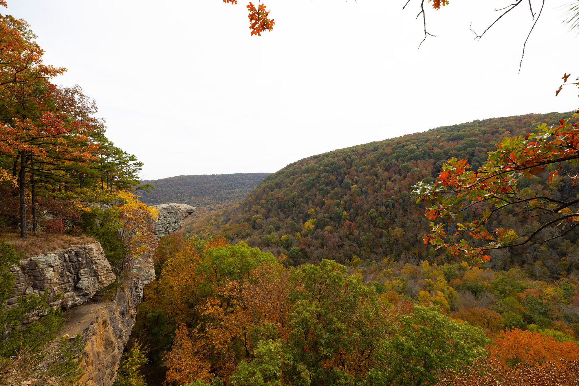
Description
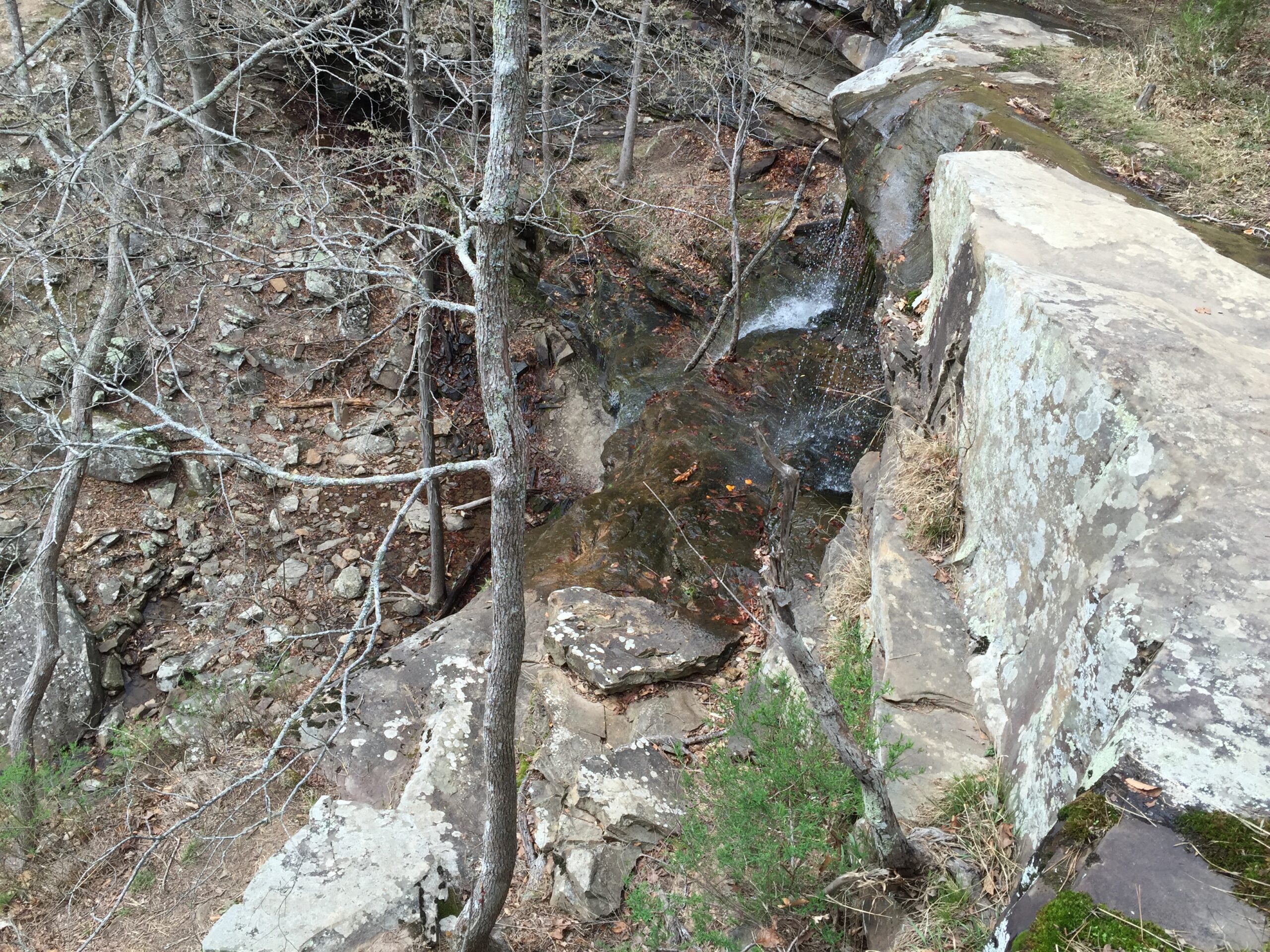
This is a 30–45-minute drive down a dirt road. Use the restroom before you head this way. Doable in a tall 2-wheel drive from the north but don’t try it without a 4-wheel drive, and lower water level as you will have to cross the Buffalo River from the South.
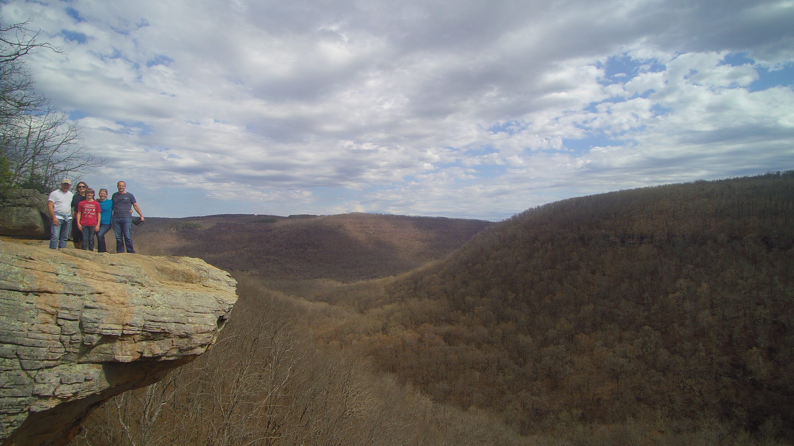
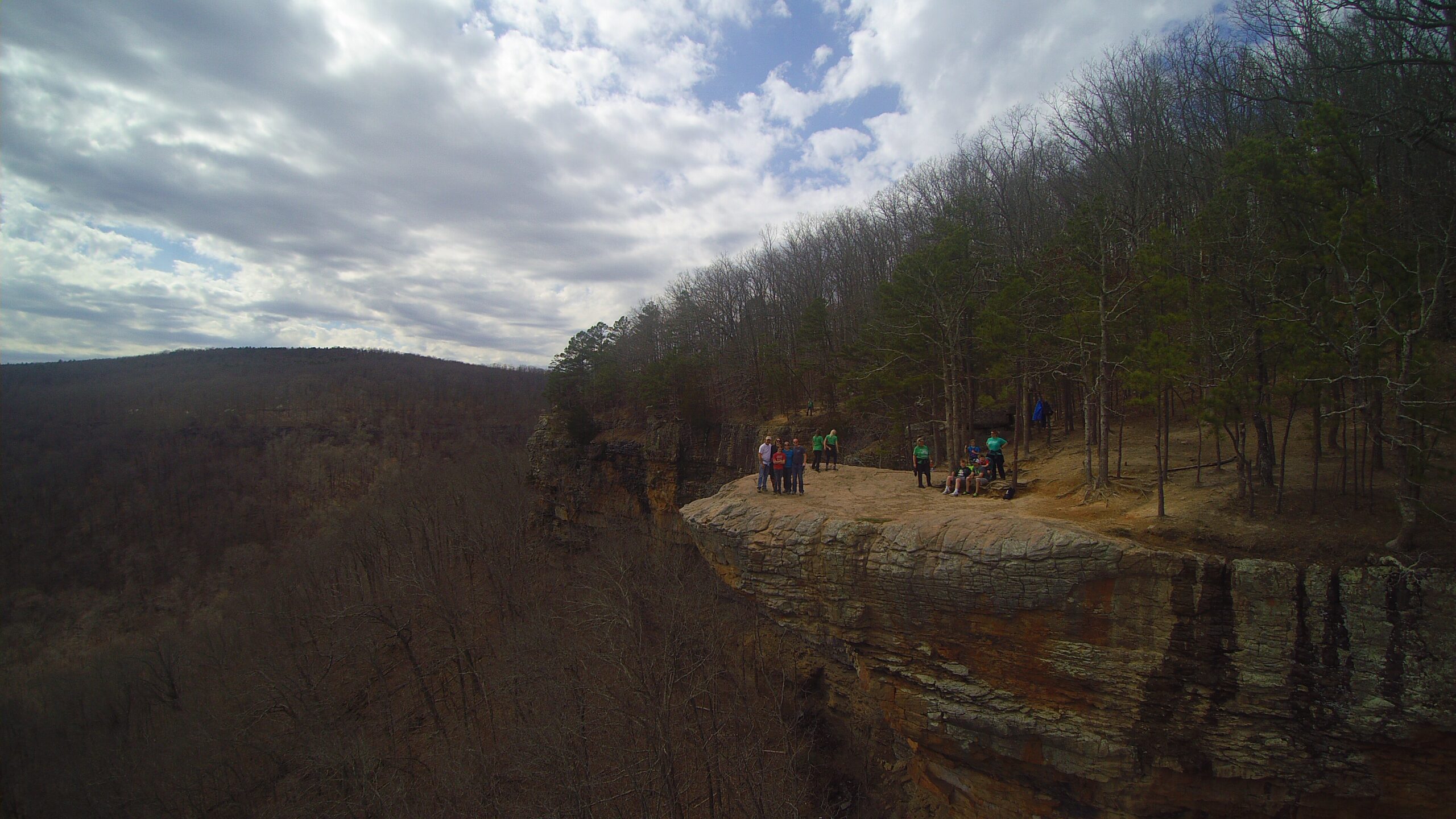
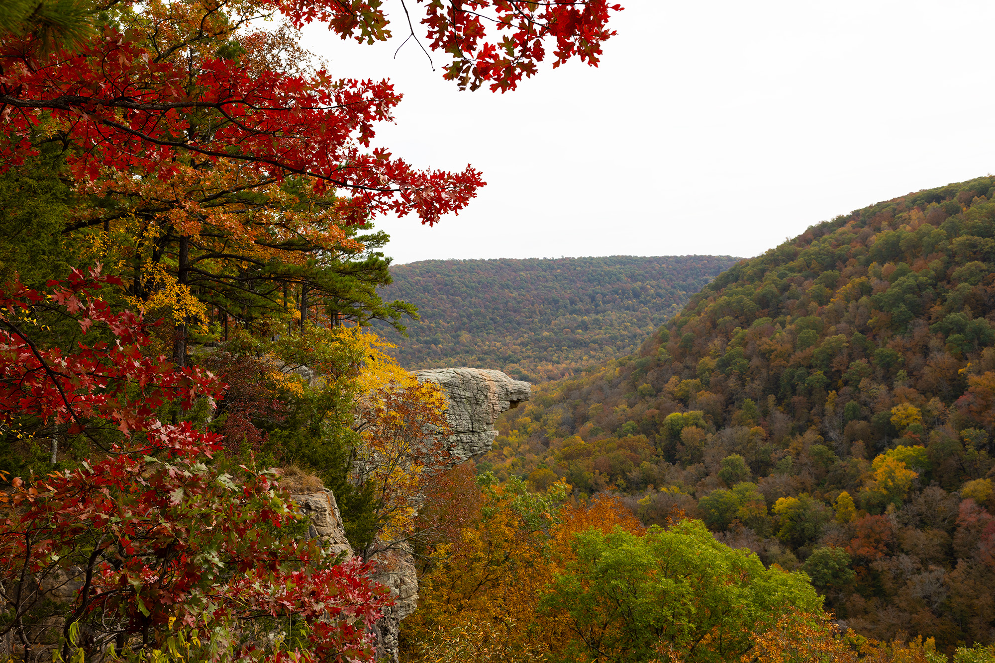
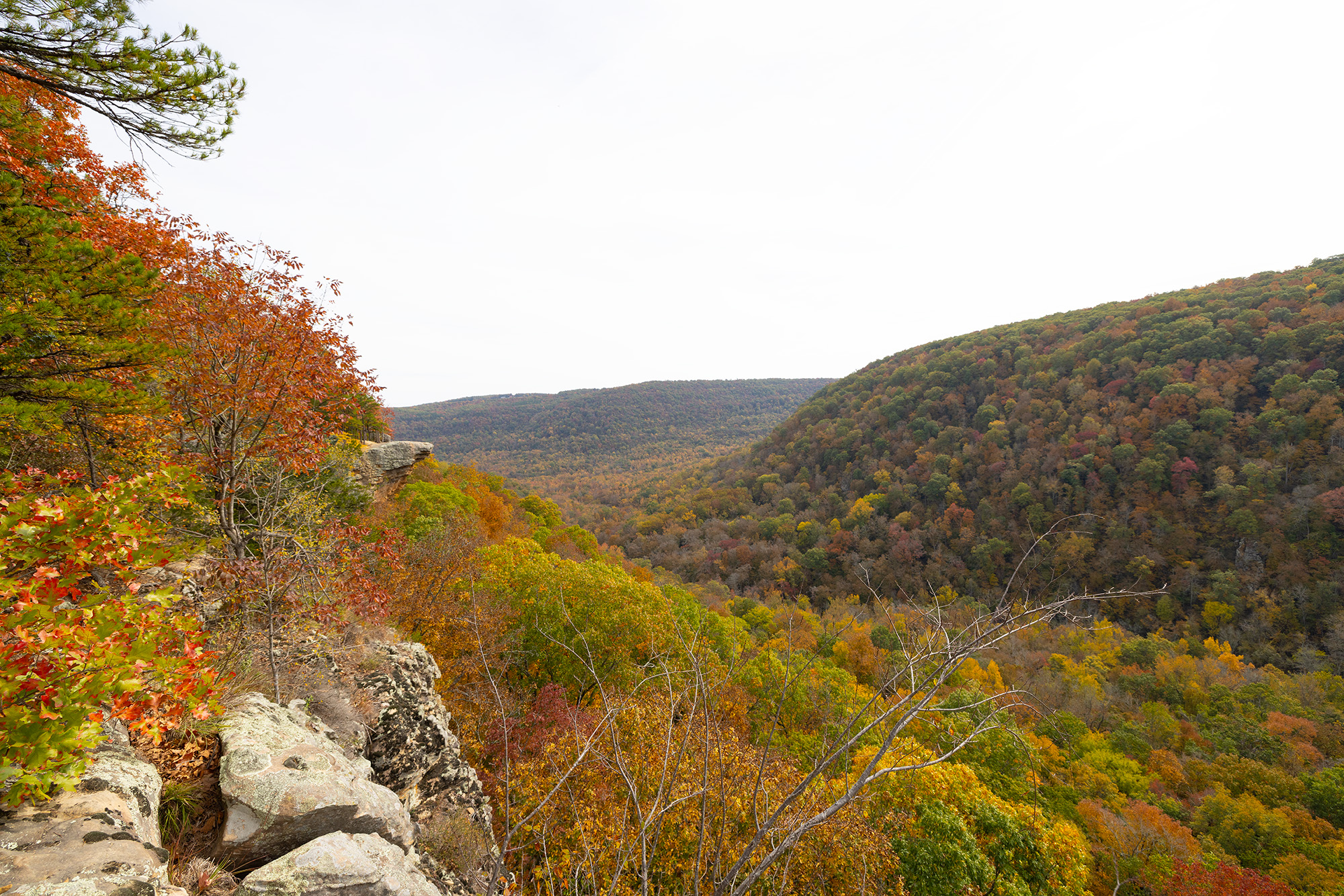
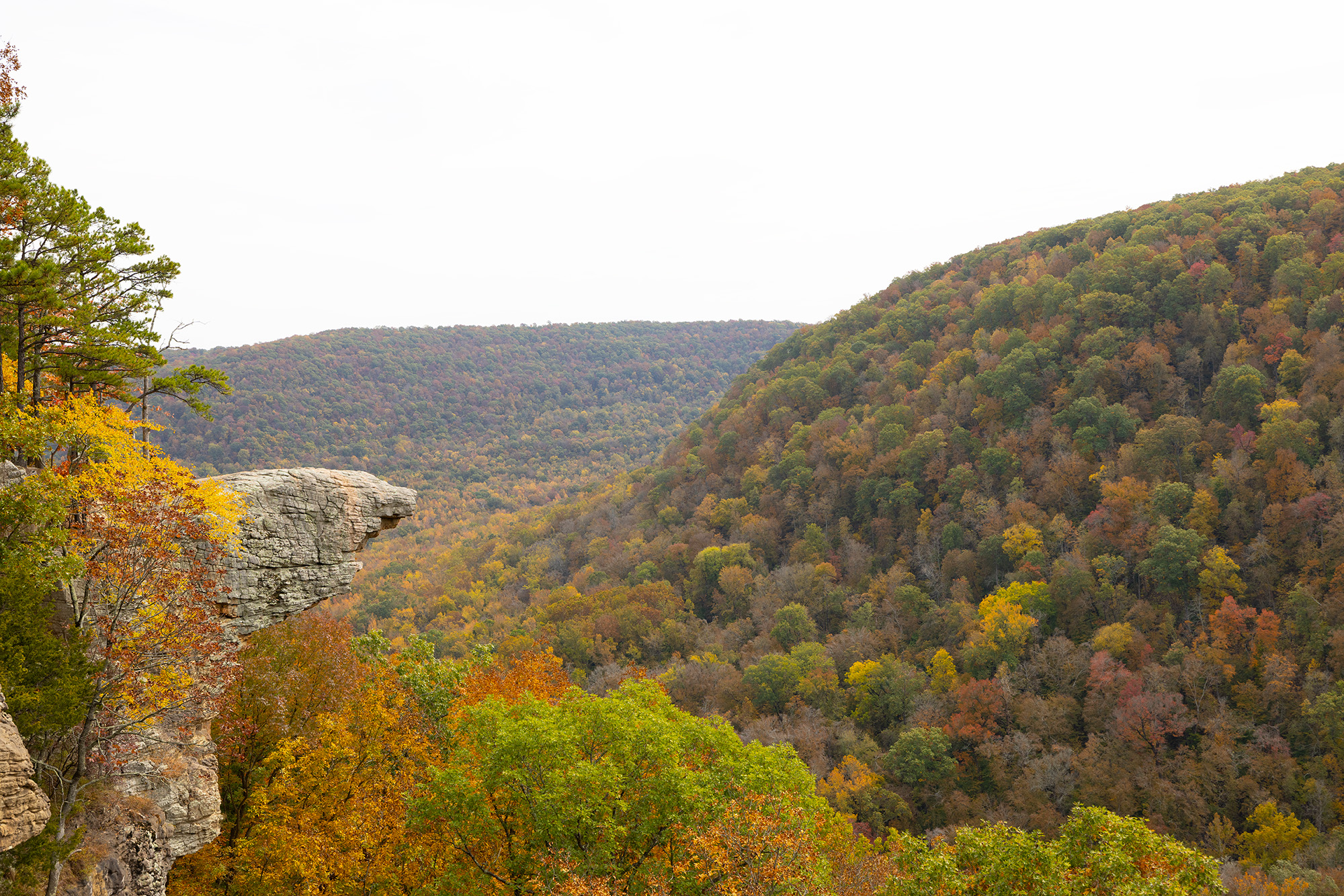
Hawksbill Crag juts out nearly 150 feet over the surrounding landscape below. Go on an early autumn morning, when the low sun floods the valley and lights up the changing maple, beech, hickory, and ash trees. This is one of the most recognized spots in Arkansas. This Hike is often featured as one of the top 10 in America. Dogs are allowed on trail.
Rating 5
Address:
Hawksbill Crag Trailhead, Kingston, AR 72742
Feature gps
35.8910033,-93.4409333
Falls gps
35.89342, -93.44692
Hike distance
2.7 miles
Distance jasper
25.8 miles or 52 minutes
Difficulty
Easy
Elevation Gain
413
Dogs friendly
Yes


Explore with
confidence
Inspiration and guidance for wherever your trail may lead.