
Alum Cove
Alum Cove
Description
Nice paved parking lot and the trail had lots of benches to take a rest.
It’s slightly downhill there and uphill on the way back. Not the easiest but still easy to the main (first) bridge. Once you get to it, take a left to get to the bottom of the main bridge. If you plan to do the complete loop it becomes a moderate hike as its more downhill, and back up.
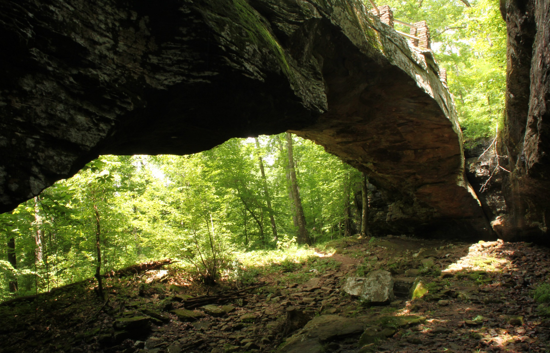
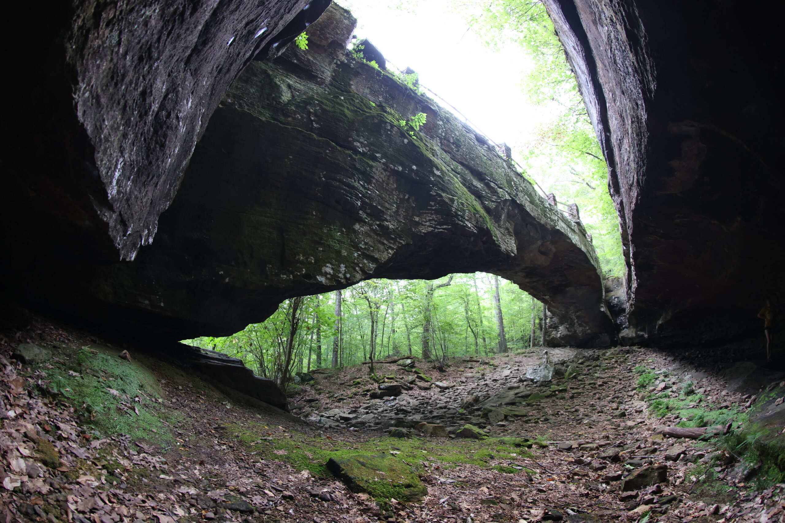
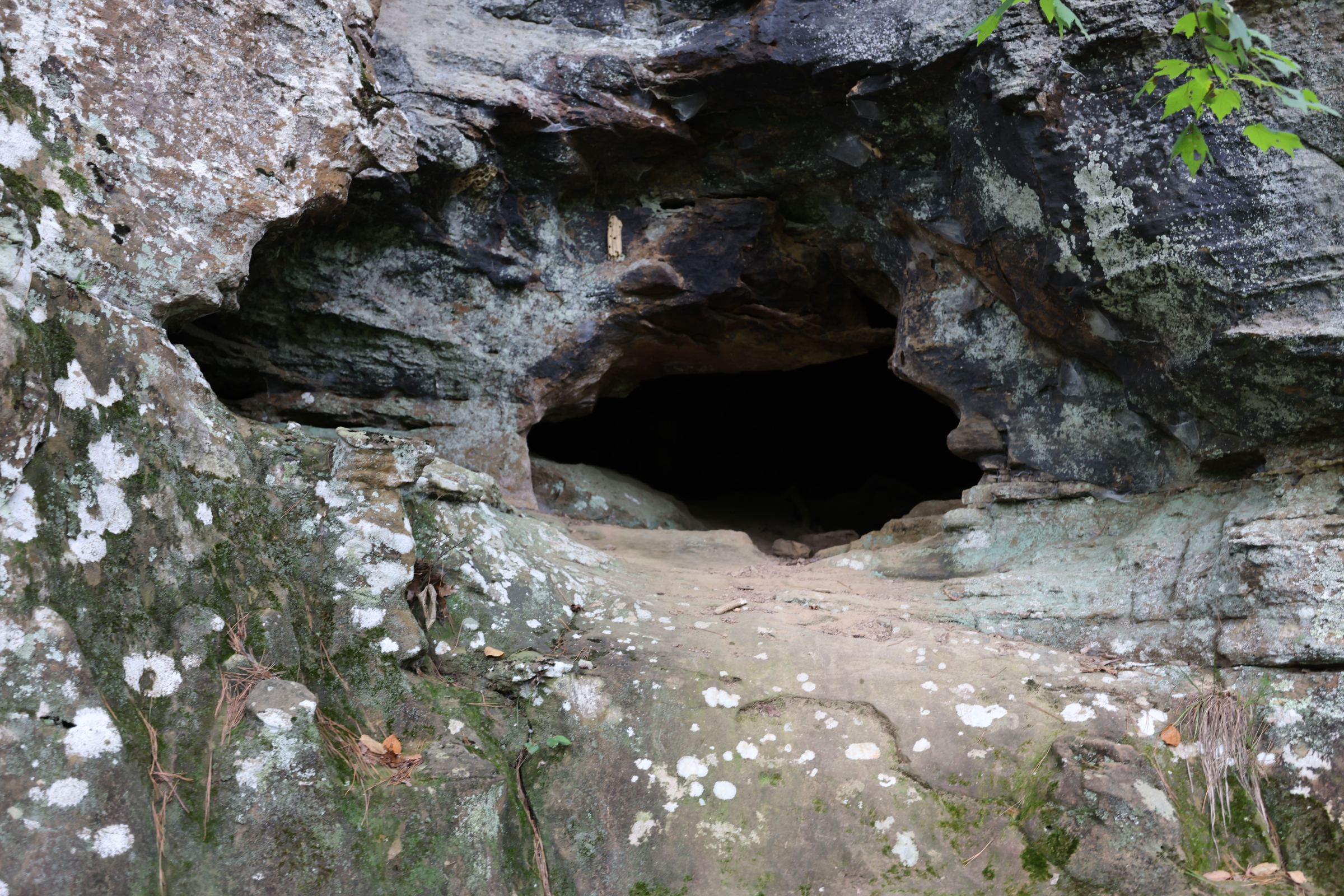
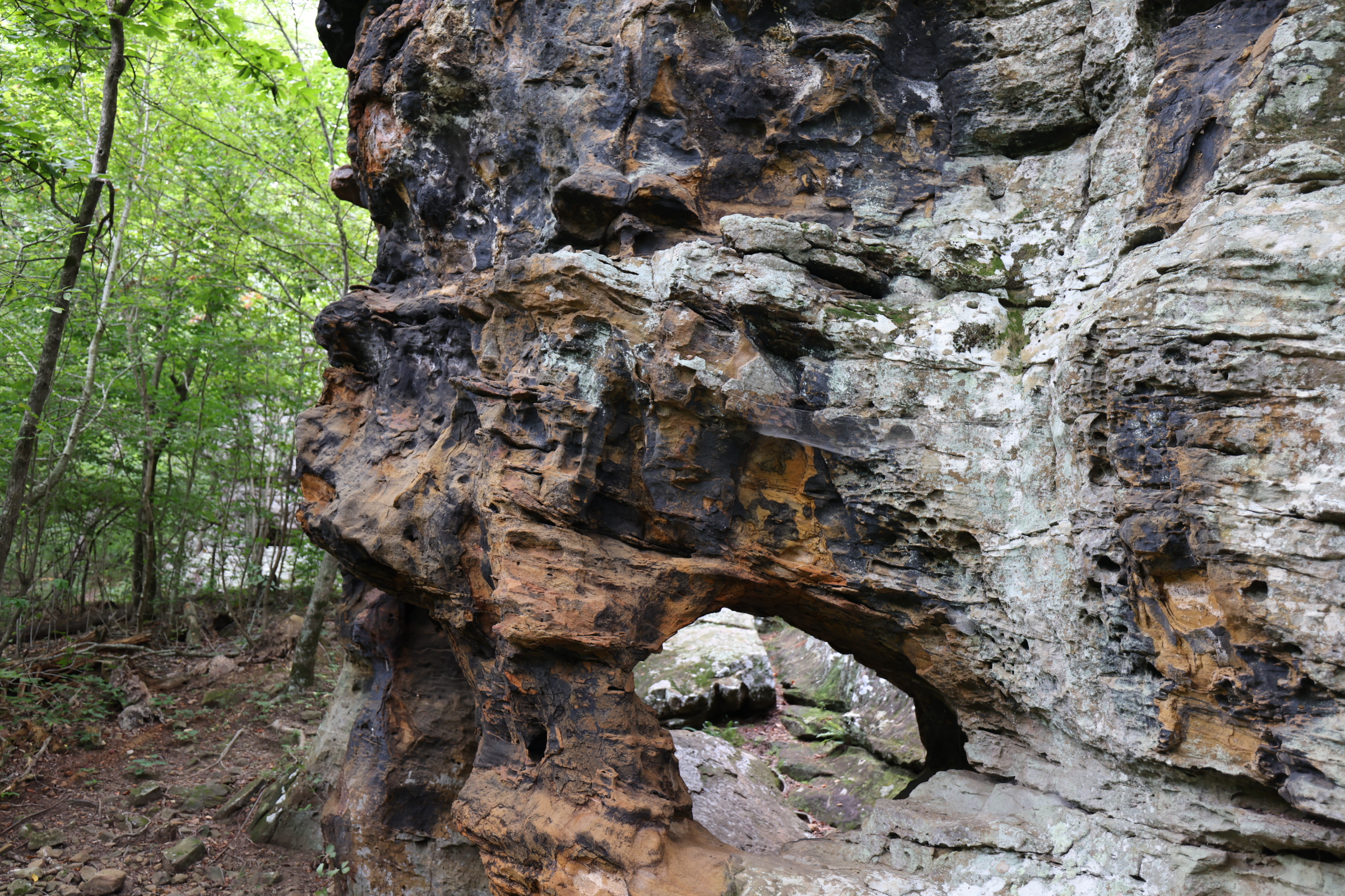
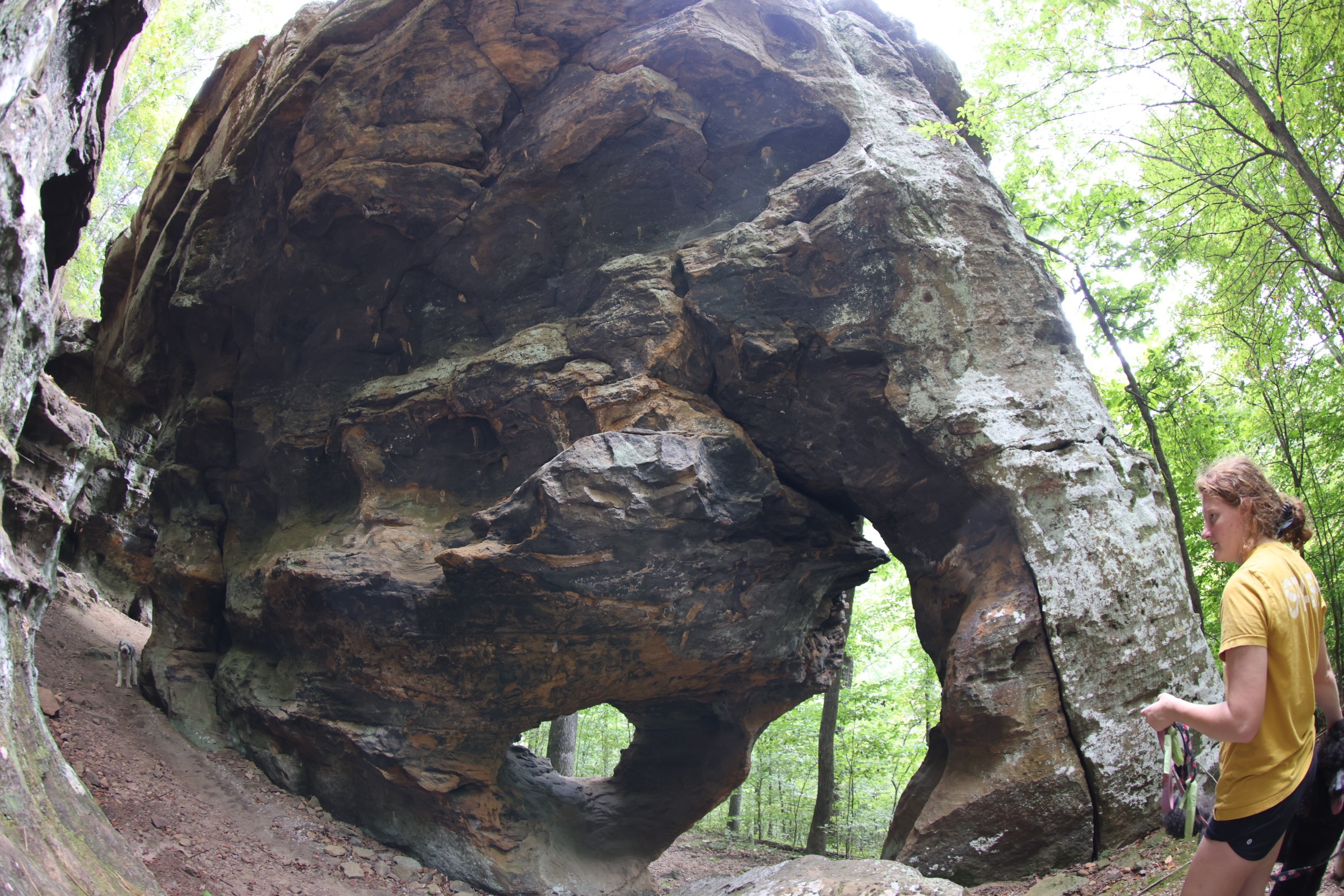
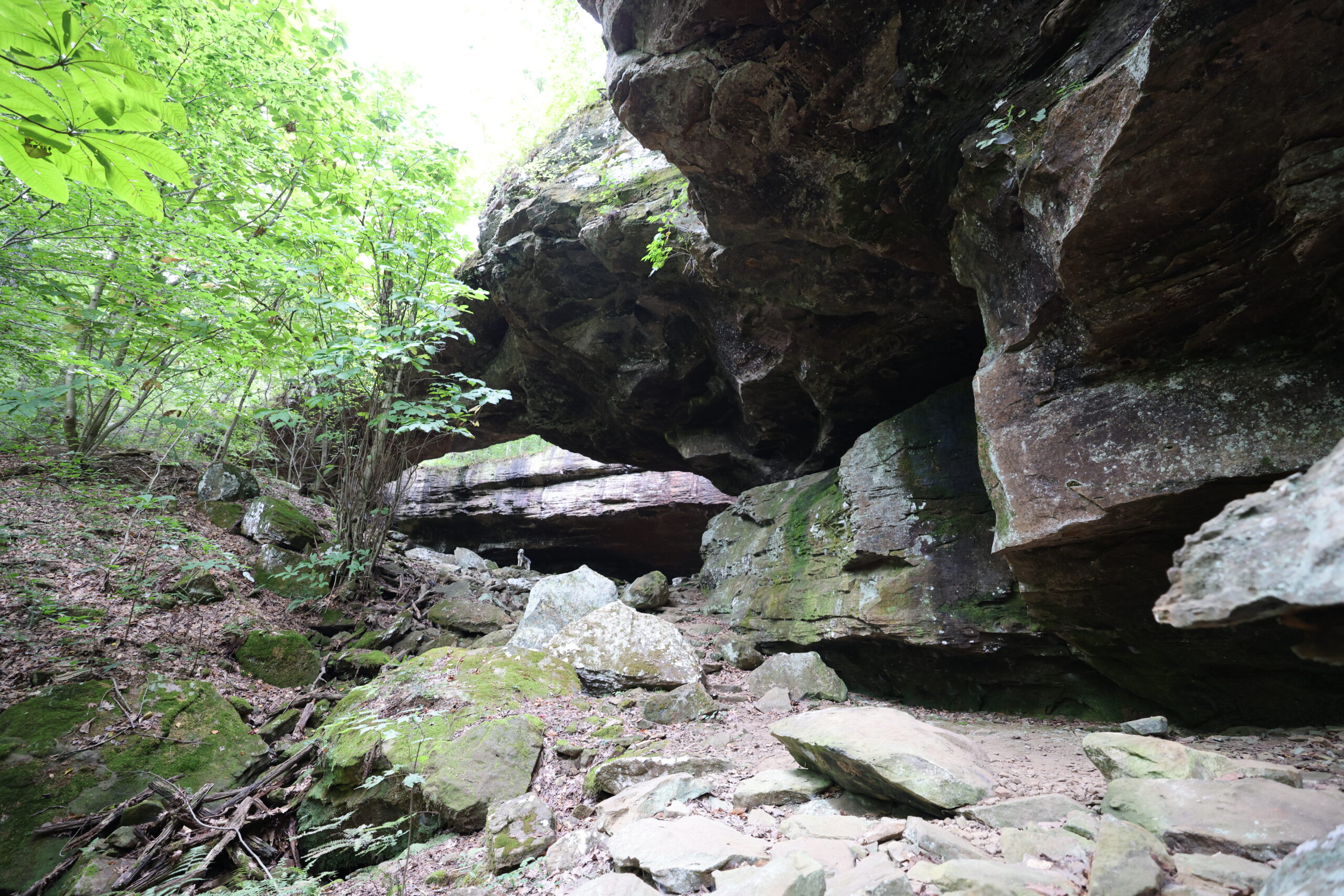
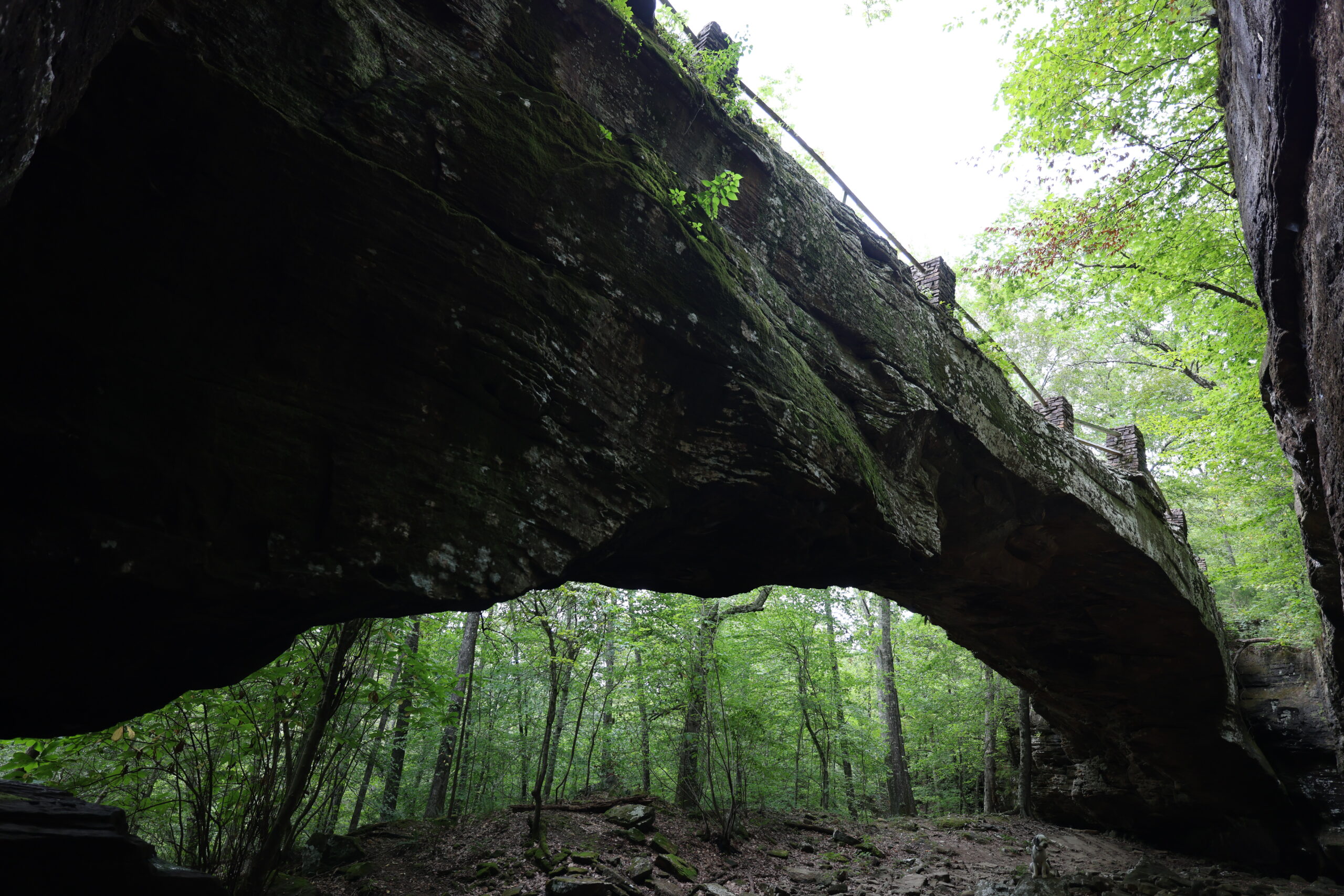
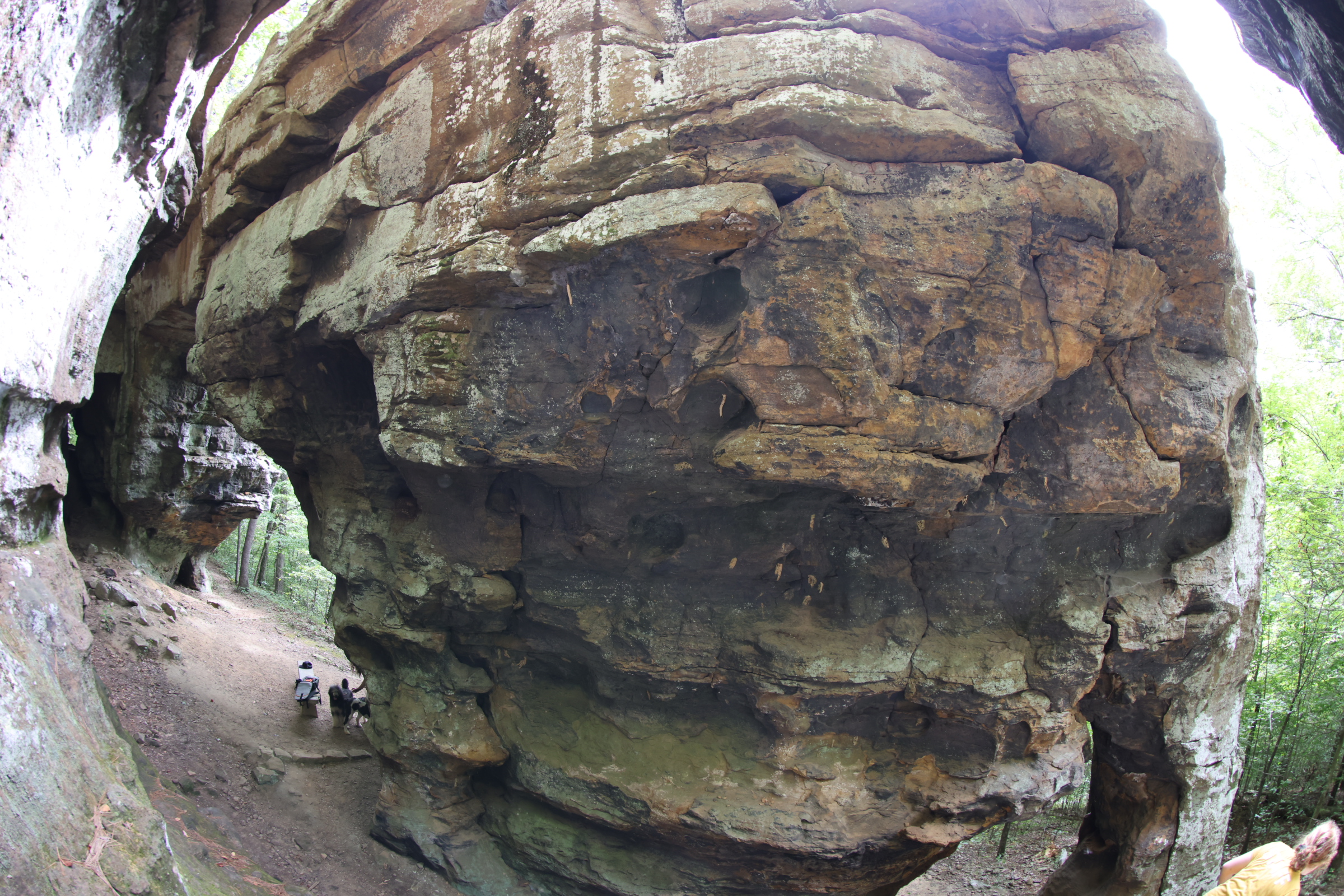
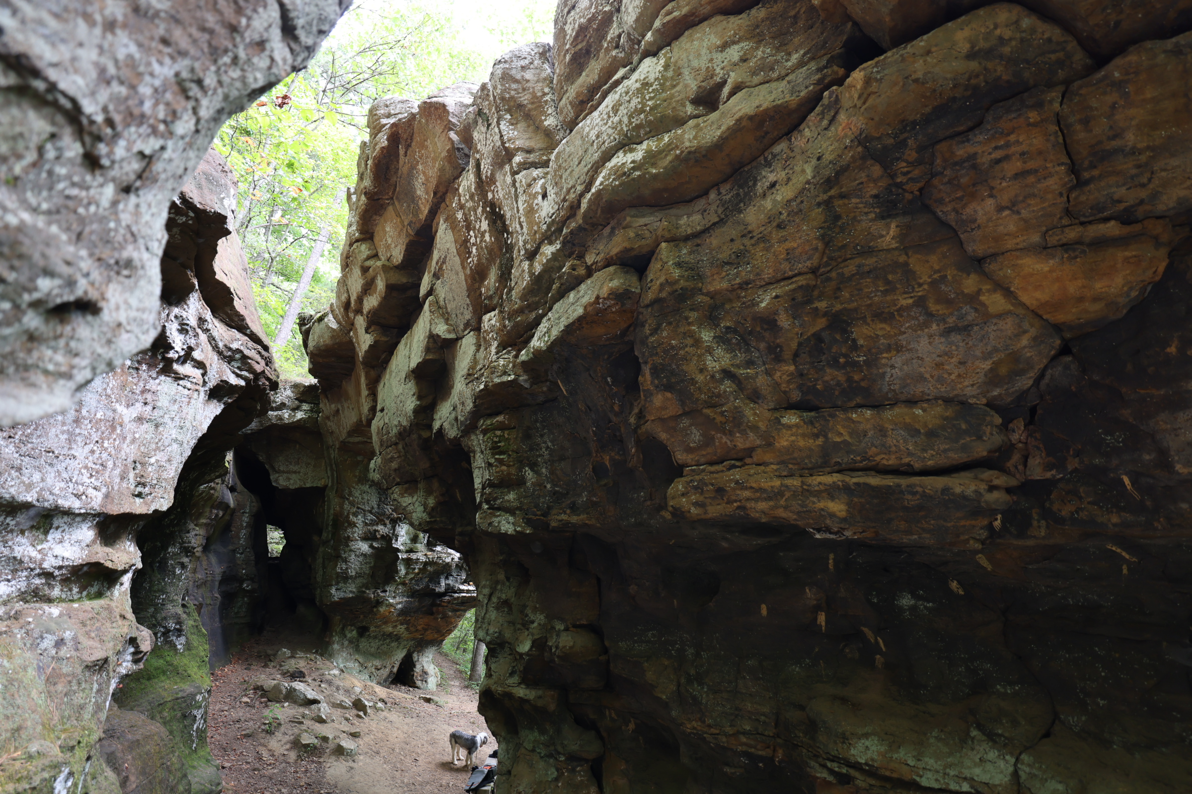
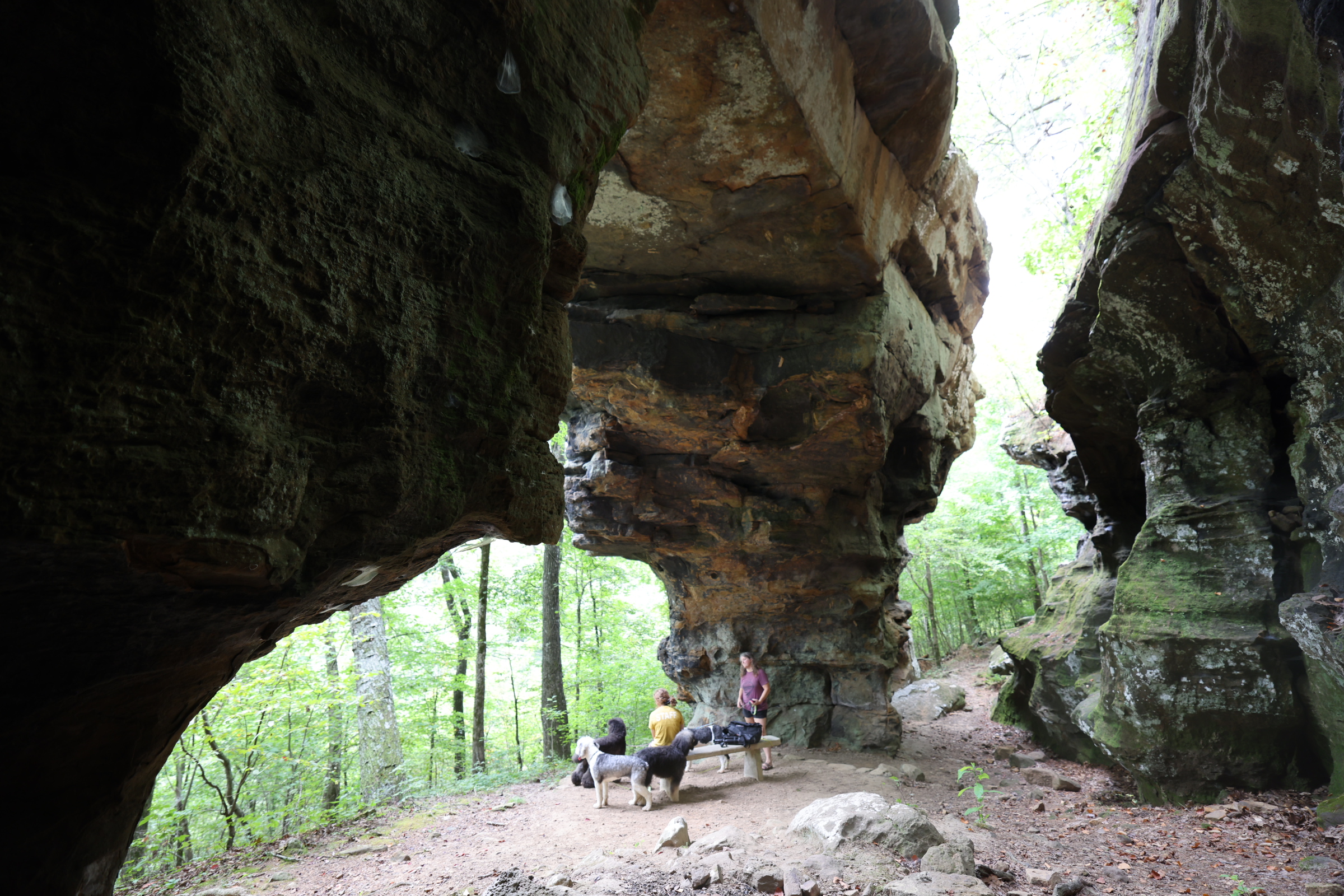
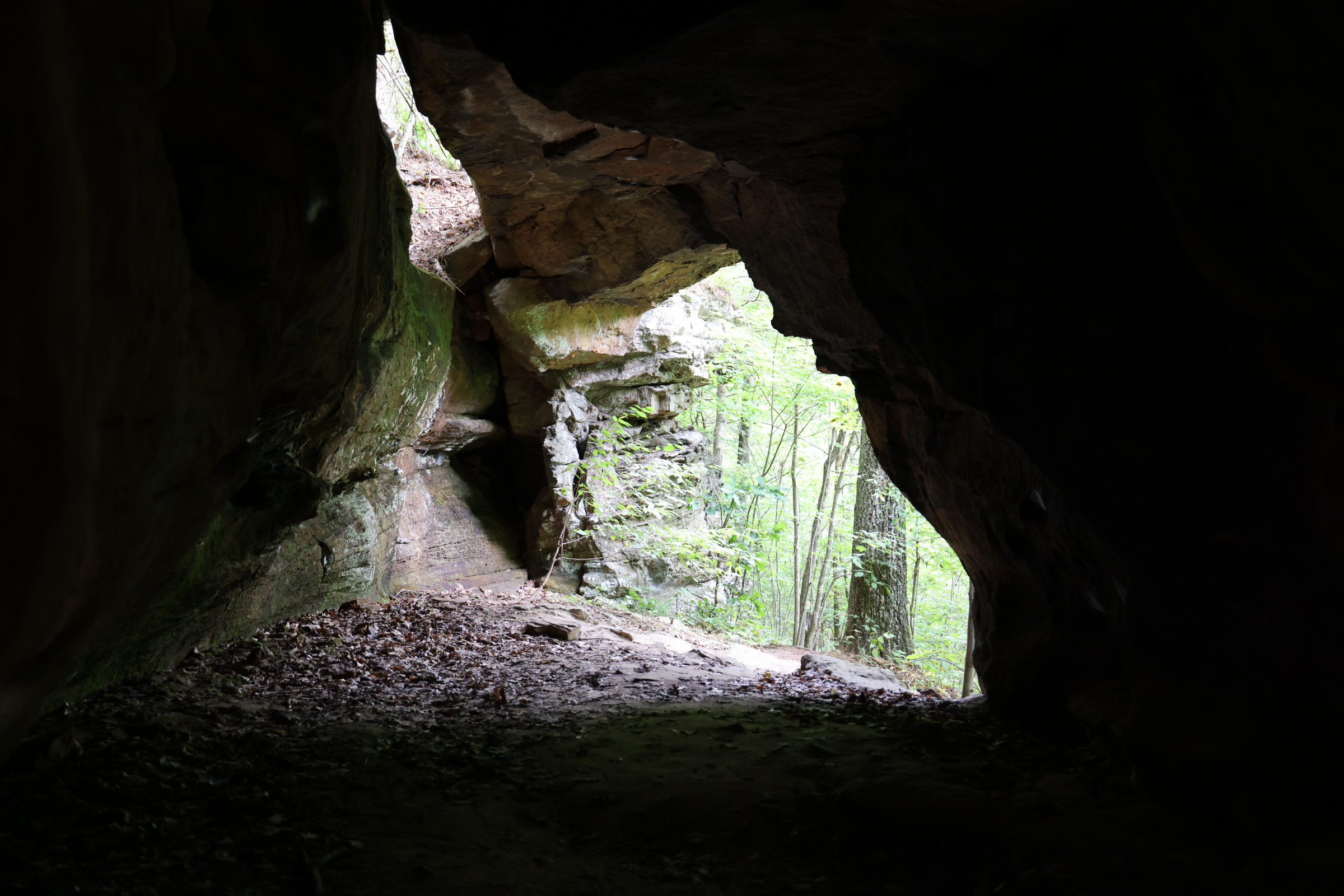
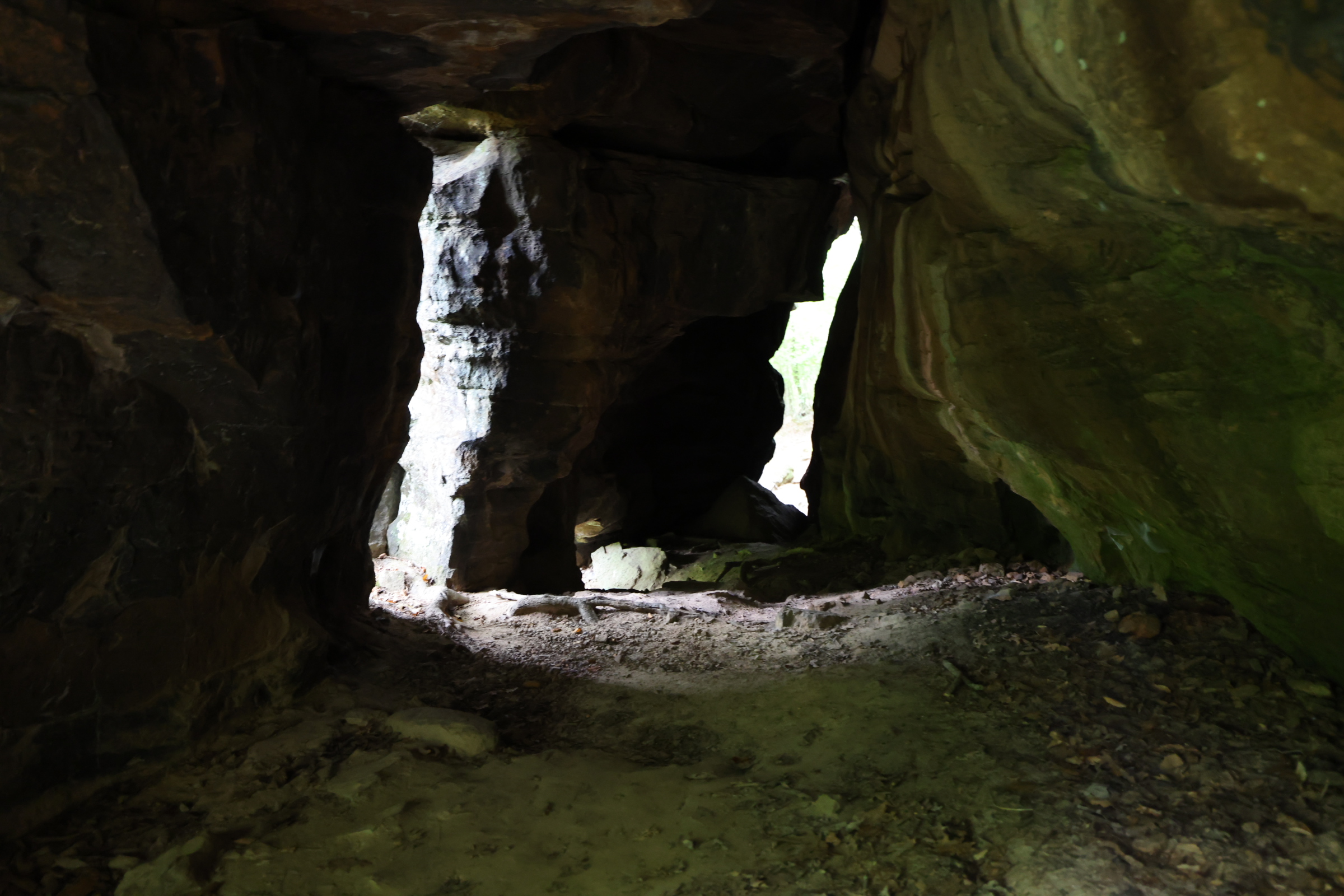
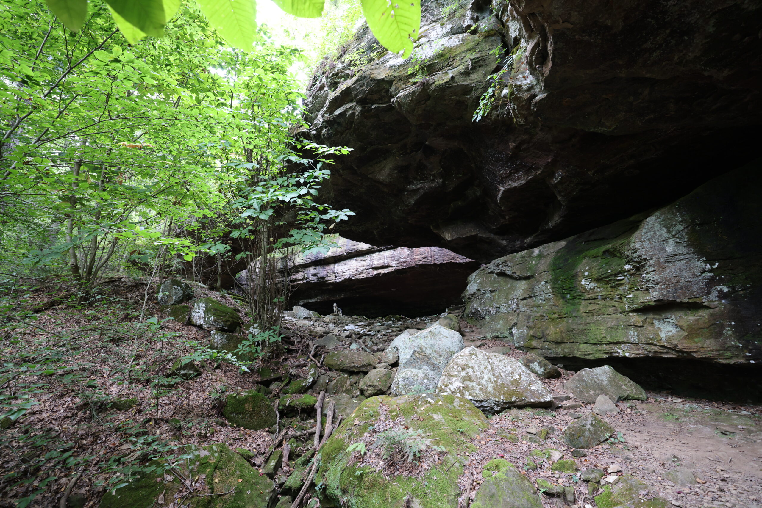
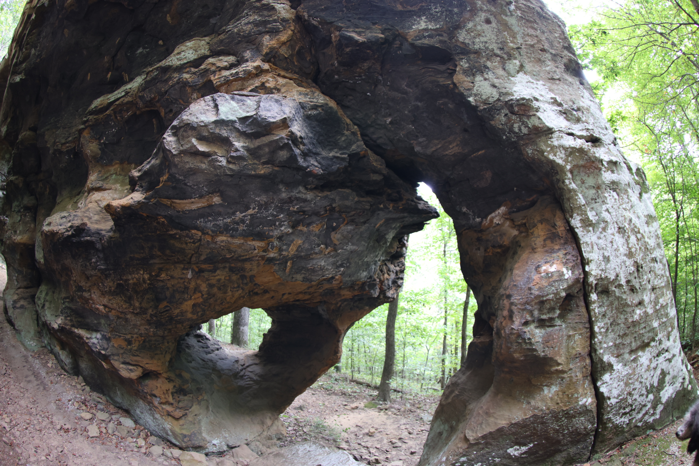
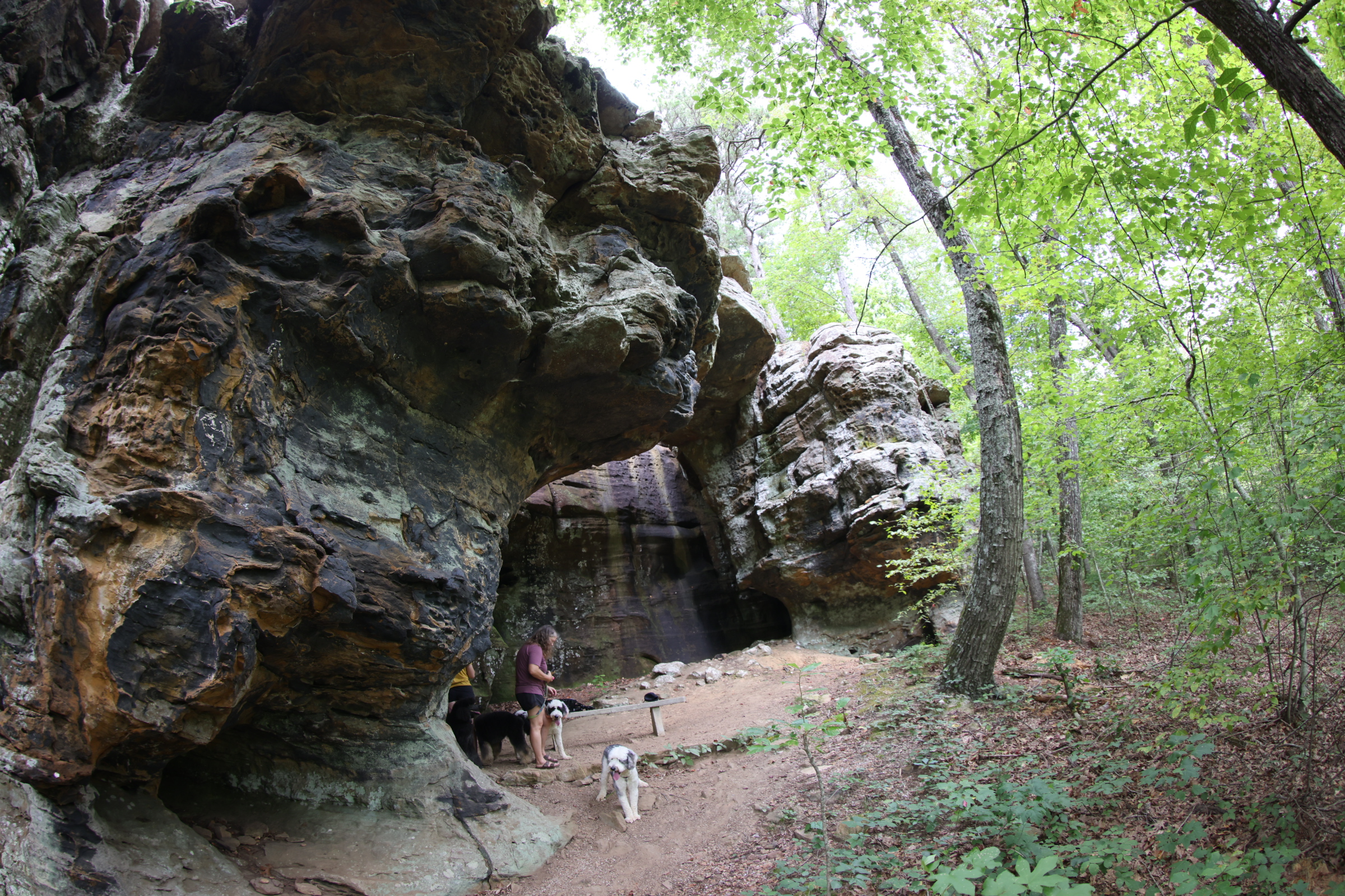
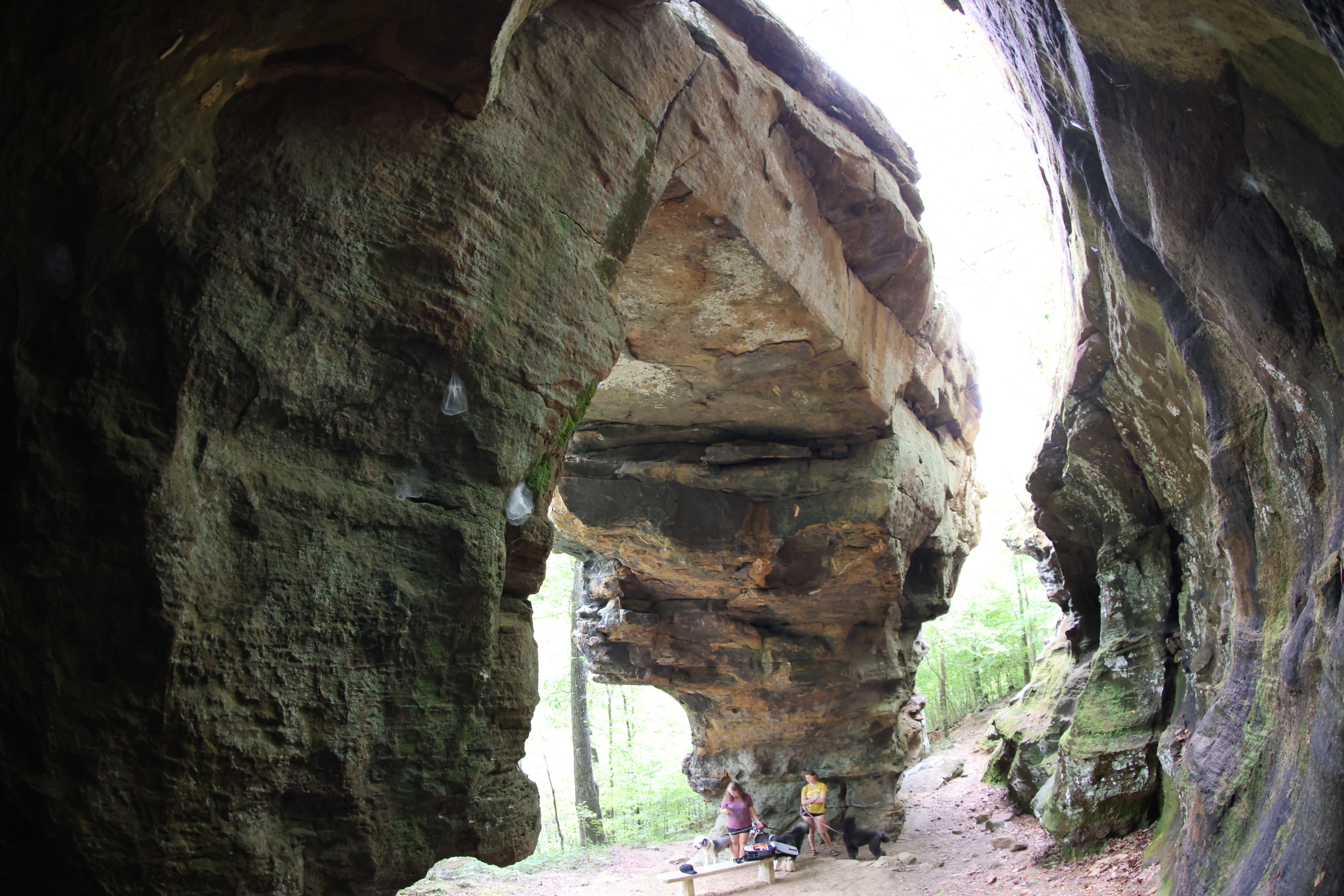
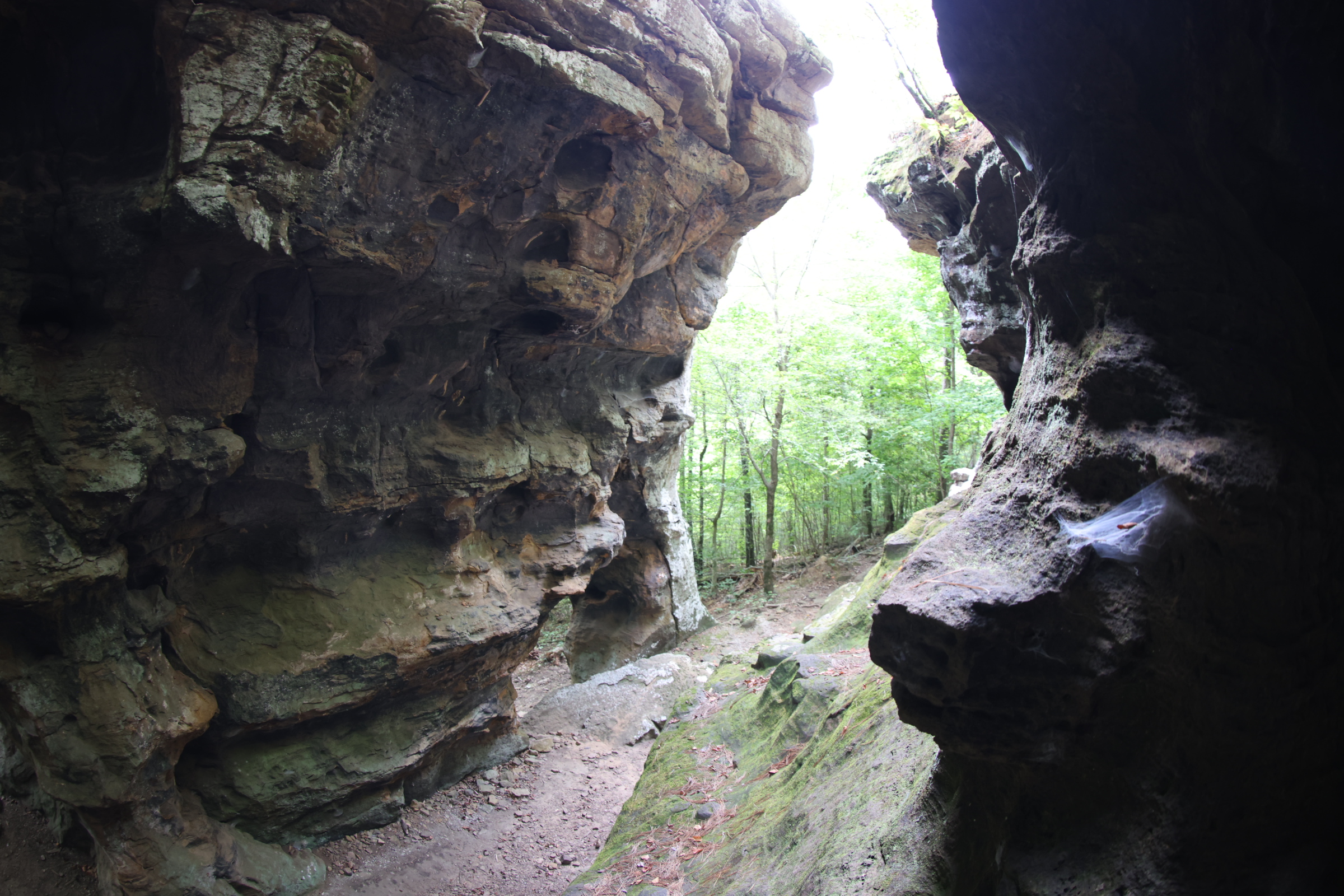
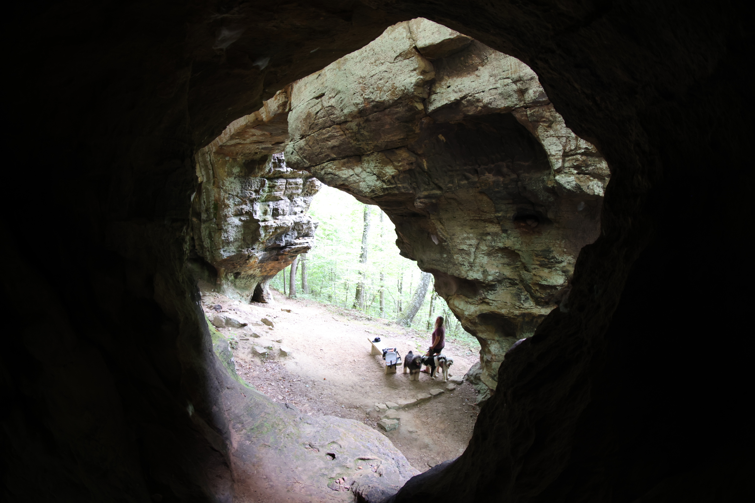
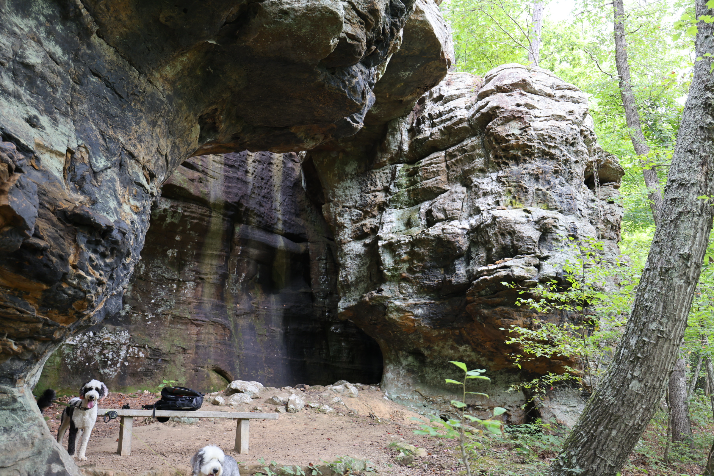
This is one of the largest natural bridges in this part of the country. It is in a beautiful little valley enclosed by a rugged bluff line with little bonus cave/overhang formations also a couple waterfalls if right after a rain. Our video is from late august.
This impressive natural rock bridge is 13O feet long and 12 feet thick. You can walk around, over and under the bridge, explore some small caves, wade in a cool creek, and in the wet season, enjoy some smaller waterfalls behind the bridge. Dogs are allowed on this trail.
Bridge gps
35.86317, -93.23426
Rating 4.6
Address:
Alum Cove Natural Bridge Recreation Area, Deer, AR 72628
Hike distance
1.2 – 2.5 mile
Distance jasper
15.2 miles or 24 mminutes
Difficulty
Easy to Moderate
Dog friendly
Yes
")

Explore with
confidence
Inspiration and guidance for wherever your trail may lead.