Big Bluff, Goat Trail, Centerpoint & Grannys Cabin
Big Bluff, Goat Trail, Centerpoint & Grannys Cabin
Description
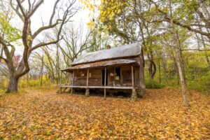
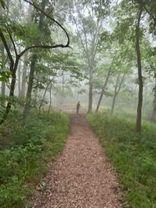
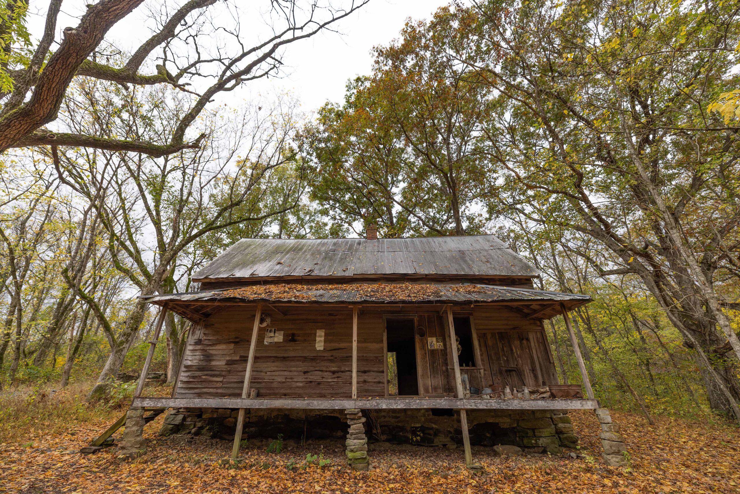
The trailhead is called “Centerpoint”, the bluff you are going to is called “Big Bluff” and the trail you take to the bluff, about 2.7 miles in is called “Goat Trail”. If you stay on Centerpoint and dont take a right at Goat Trail you will end up at “Granny Hendersons Cabin”.
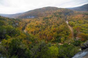
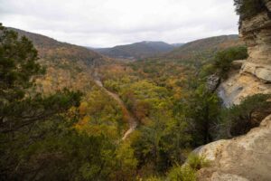
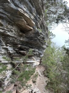
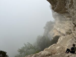
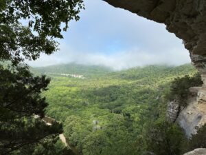
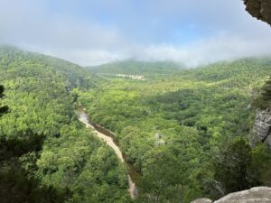
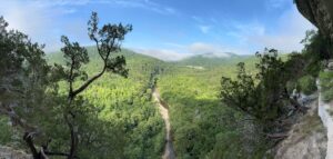
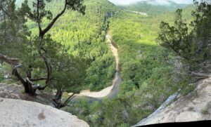
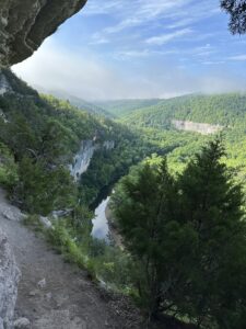
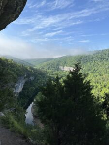
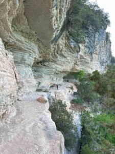
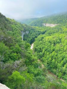
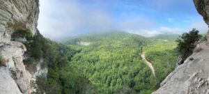
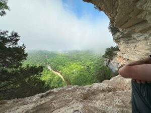
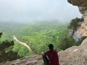
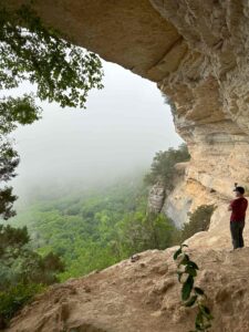
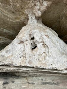
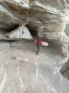
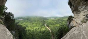
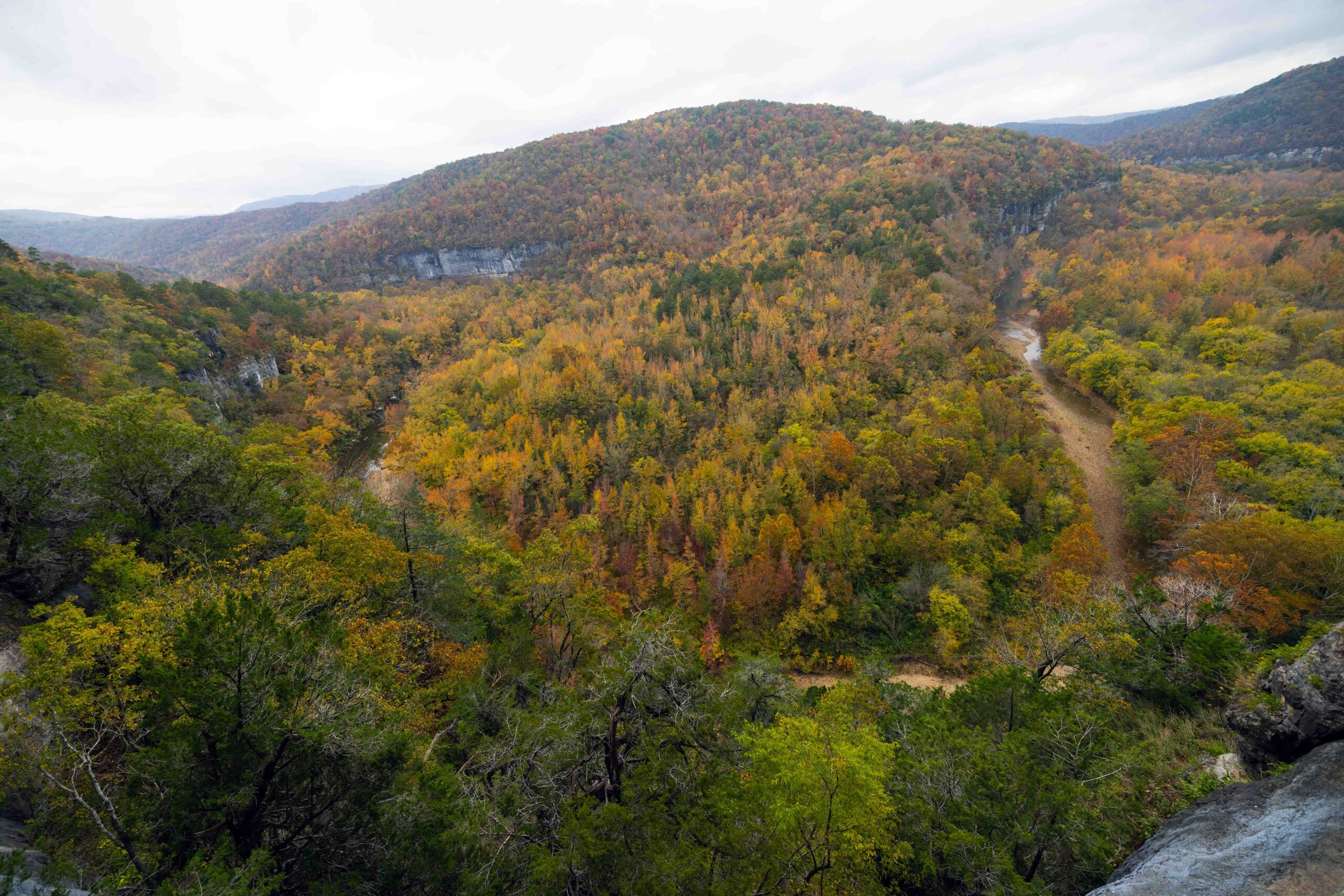
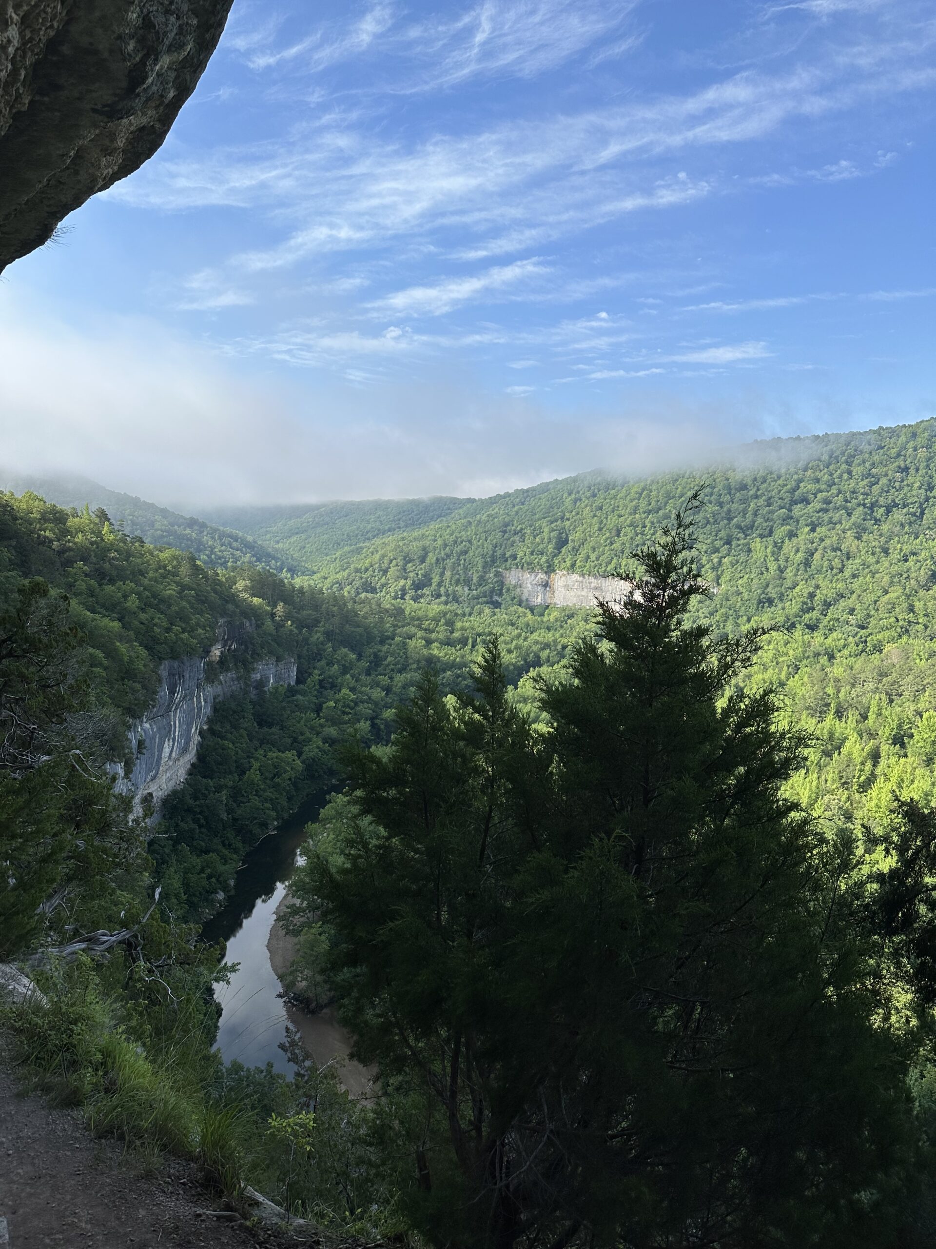
So now that we understand where we are going understand this is a must do! This trail offers unparalleled views of the Buffalo River, with multiple bluff lines all with picturesque mountain scenery and a challenging narrow path, which runs along the bluff line. At one point, you can either crawl through a hole in the bluff or take an alternate route to reach the breathtaking viewpoints. You will be on, Big Bluff, towering at a height of 550 feet, stands as the tallest sheer bluff face between the Rocky and Appalachian Mountains. From here, you will be viewing three other bluffs including Jims Bluff.
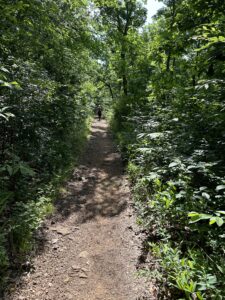
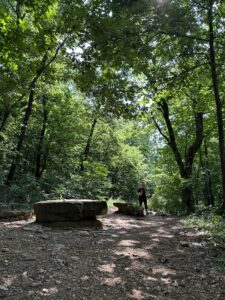
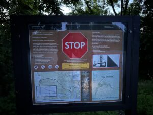
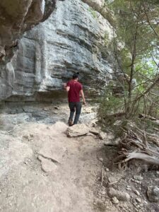
This parking area can fill up on weekends. Start on the Centerpoint trail for approximately 2.7 miles until you reach a “T” intersection. From there, turn right onto the Goat Trail and continue down and along the Bluff line to your left. The stunning views start around .3 miles down this trail.
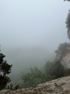
For the best experience, it is recommended to do this hike just before Civil Twilight or 45 minutes before sunrise or a couple hours before sunset. However, be mindful that if the morning is foggy, the sky may not clear until after 9 am.
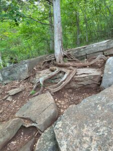
Keep in mind that the descent on this trail is steep, rocky, and challenging. Consequently, the return journey will be uphill, with rough terrain and narrow sections, making it an all-day hike. Make sure to come prepared with appropriate gear, food, and water. The Centerpoint trailhead can be found off Hwy 43 at the Firetower Rd junction. Please note that dogs are not allowed on this trail.
This trail is a 5+ (This is a must do trail)
Address:
Centerpoint Campground/Horsecamp and lodge, Compton, AR 72624
Feature GPS
36.05033902554007, -93.31957933475927
Hike distance
6 miles
Hike time
1 hour in , little longer out
Distance to jasper
14.3 miles or 24 minutes
Difficulty
Moderate to Hard – Easy in, Hard out
Dogs
No
Elevation Change
High 2196, Low 1260, Ascend 1014, Descent 1468

Explore with
confidence
Inspiration and guidance for wherever your trail may lead.

