Hideout Hollow
Hideout Hollow
Description
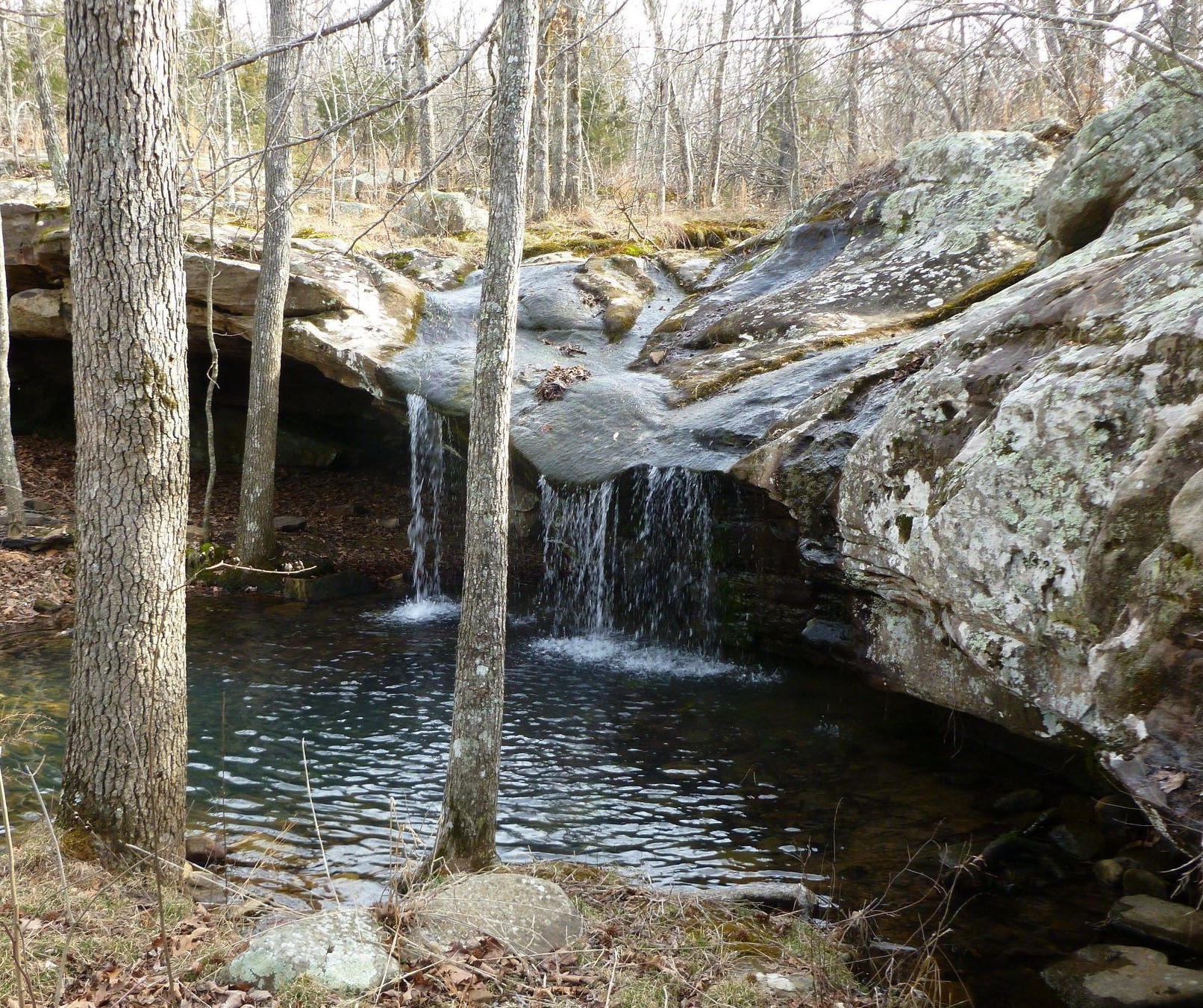
As all waterfalls this one is best to visit in the rainy season. This is a great little trail that takes you into a large bluff and on top of a 37-foot-tall waterfall. It’s a hard bushwack to get to the bottom of the falls. Along the trail you will see some fantastic sights, thick stands of trees, and an apartment-sized rock that has broken off from the bluff with giant pines sprouting from it. Once you pass through the cedar grove and start hearing water, that’s the sign that you are nearing the head of Hideout Hollow. Dogs are not allowed on trail.
Rating 4.5
Address:
Erbie Rd, Harrison, Arkansas 72601
Falls gps
36.08080, -93.26977
Hike distance
2.0 miles
Distance jasper
25.5 miles or 45 minutes
Difficulty
Moderate
Dogs
No

Explore with
confidence
Inspiration and guidance for wherever your trail may lead.

