
Ozark Highland Trail (OHT)
Ozark Highland Trail
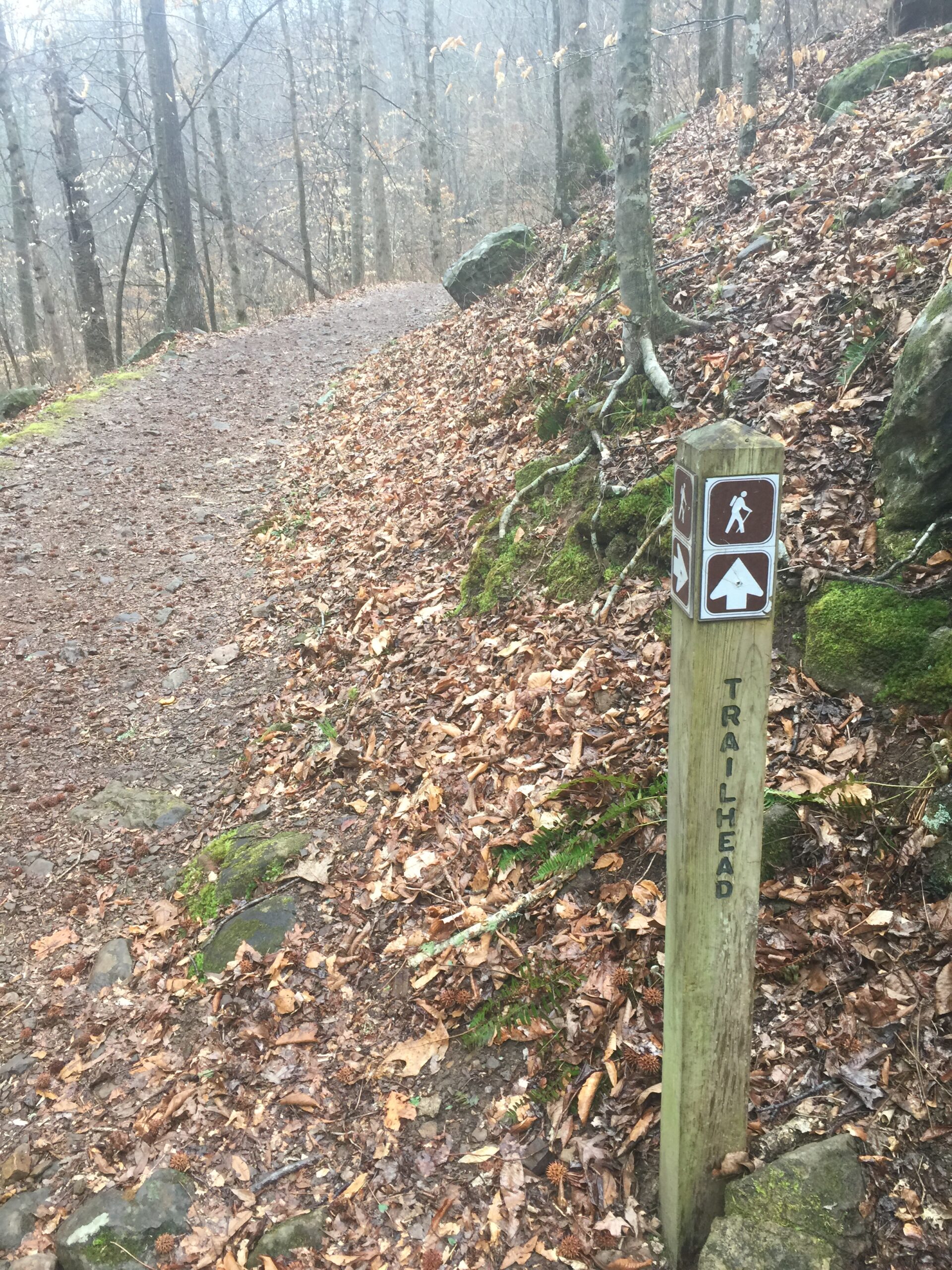
Description
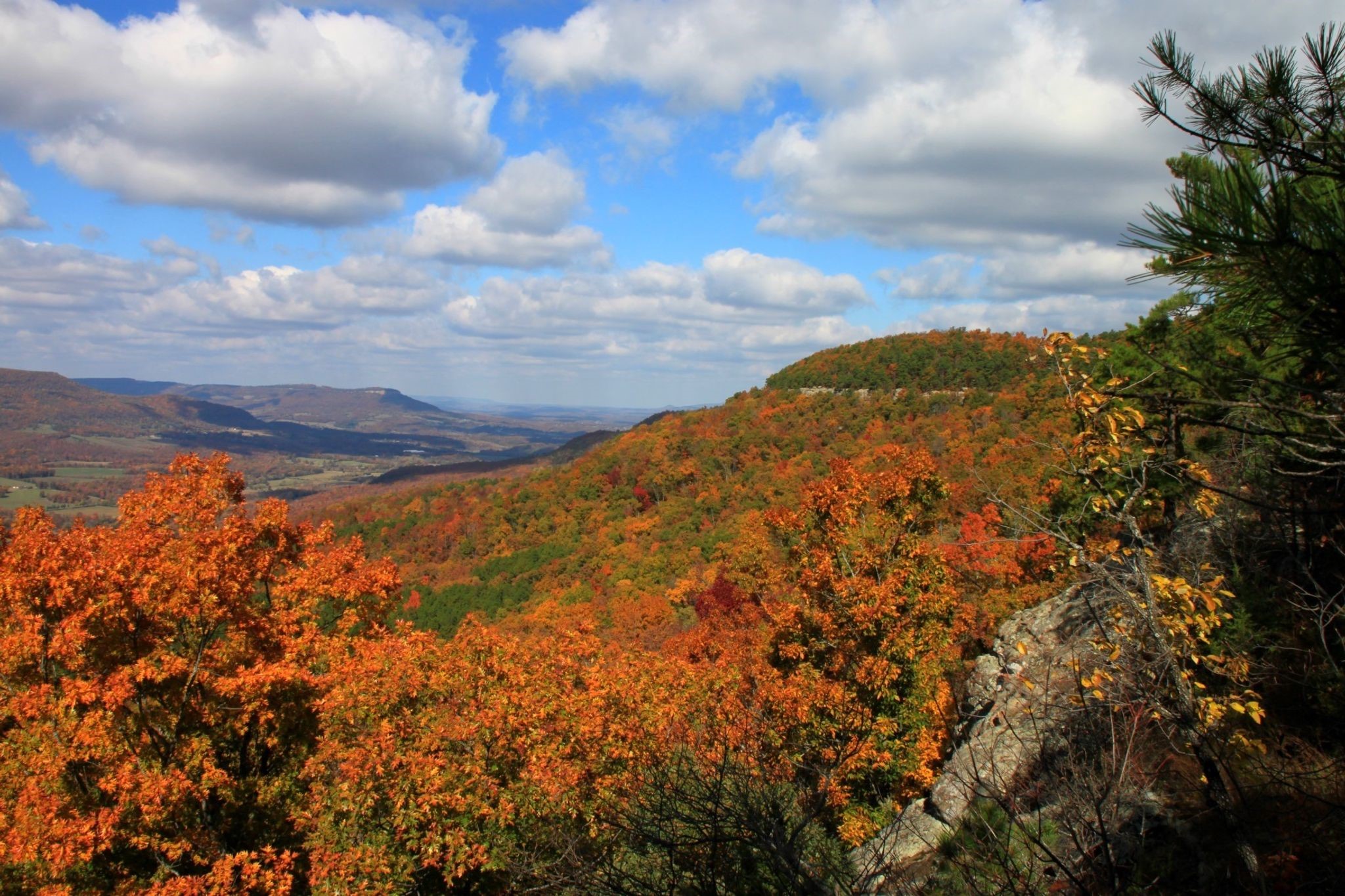
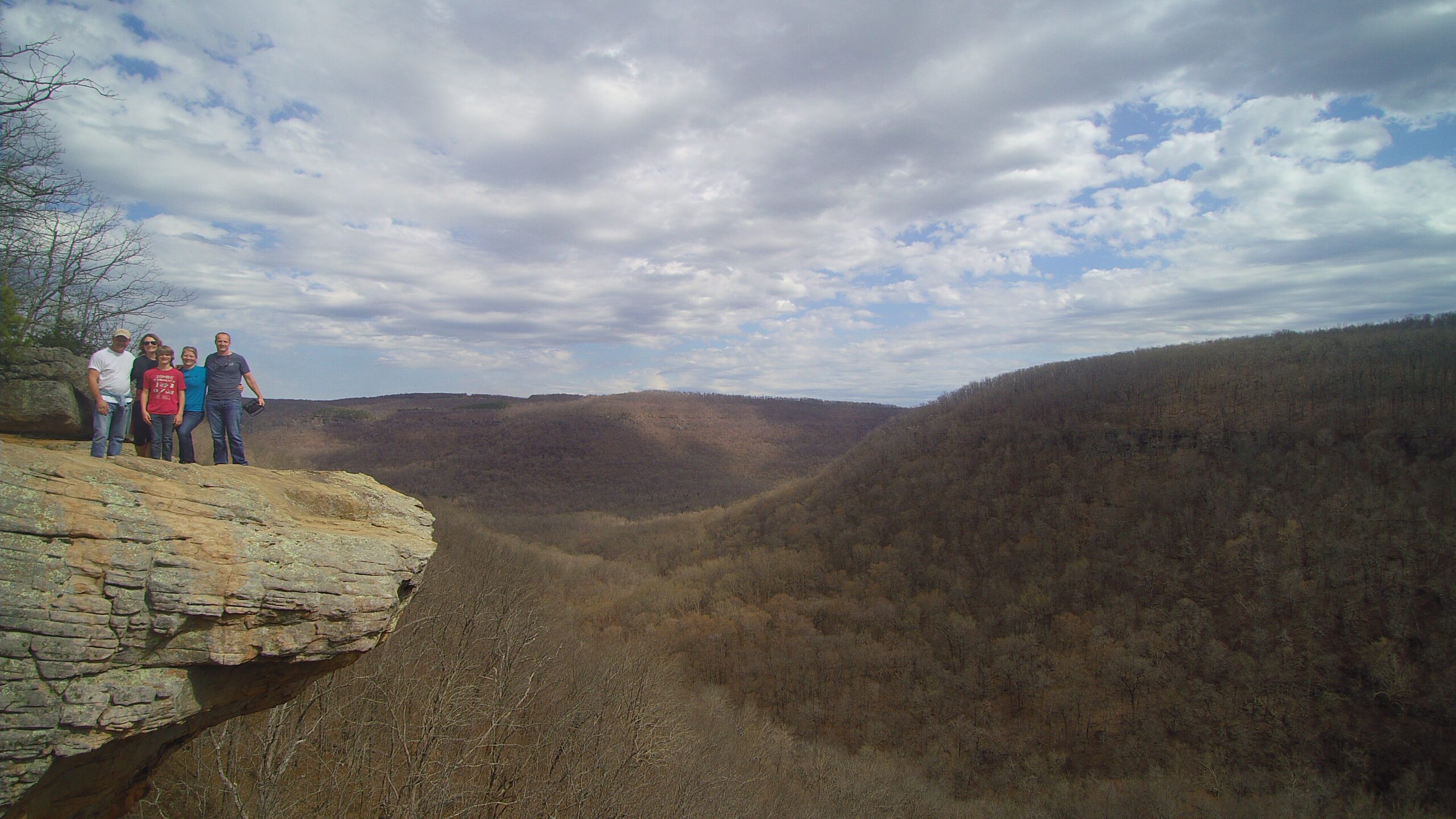
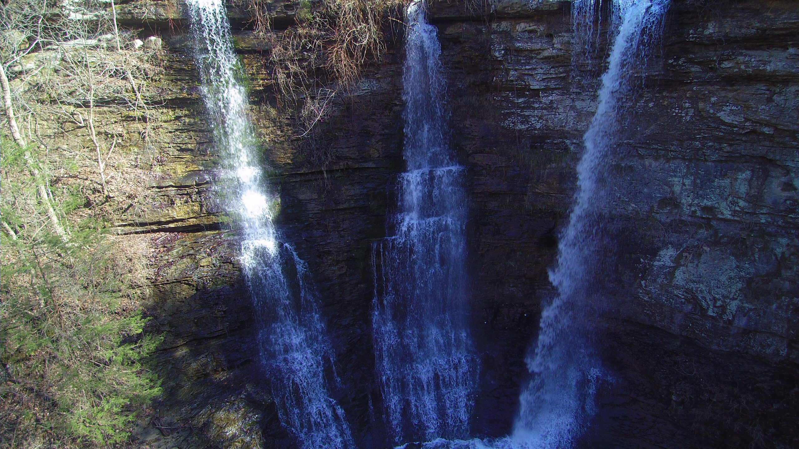
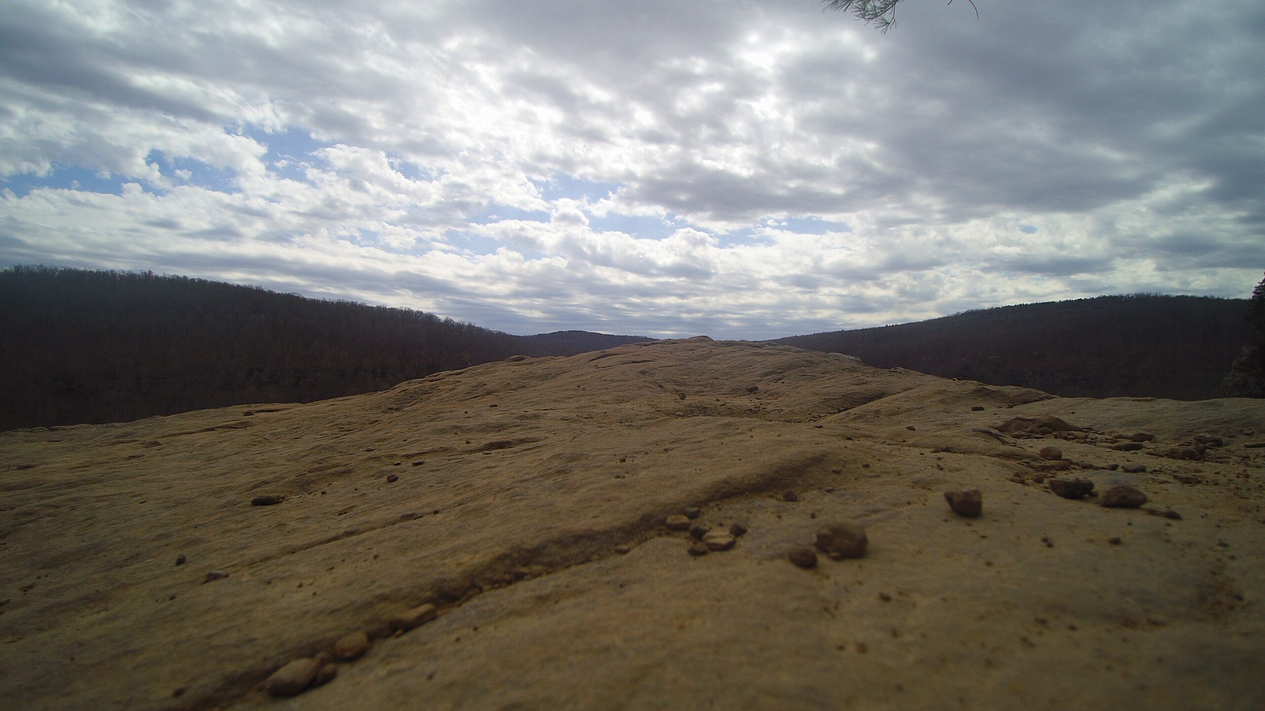
The Ozark Highlands Trail (OHT) is the longest/hardest hiking trail in our area. It crosses the Ozark National Forest and is recognized as one of the most scenic trails in the US. This is a popular trail for backpacking, camping, and hiking. The trail starts at Lake Ft. Smith State Park but we will be joining it at Arbaugh. The trail crosses the forest to Woolum located on the Buffalo National River where it joins up with the Buffalo River Trail (BRT). Trailhead access points are located at Arbaugh. Ozone, Fort Douglas, Fairview, Ben Hur, Richland Creek, Richland Dr, and Woolum. The trail travels through a wide variety of forest landscapes ranging from lower streamside elevations to high ridges. Scenic bluff and rock formations along with high vistas are evident along most sections of the trail.
About 270 miles of trail are built as of 2023, not including about 15 miles of trail route in the Lower Buffalo River Wilderness.
Rating 4.9
Address:
There are various places you can start and stop.
Parking Trail gps
Arbaugh Road (mile 69.9): 35.75765,-93.52795
Ozone Campground (mile 84.7): 35.672979,-93.450776
Fort Douglas, aka Big Piney Creek (mile 103.8): 35.677945,-93.238073
Fairview Campground (mile 123.8): 35.73875, -93.09376
Richland Creek Campground (mile 143.2): 35.7964,-92.9303
Woolum ford (mile 164): Parking at 35.971941,-92.886213
Hike distance
270 miles
Distance from Jasper
Varies from 30 minutes to an hour
Difficulty
Hard
Dog Friendly
Yes
Explore with
confidence
Inspiration and guidance for wherever your trail may lead.