
Marble/Big Onion Creek 13.4mi
Class Rating
I – II
Length to next put in/take out
11.3
Time to next put in/take out
—
USGS Gage to watch:
King River near Berryville
Current Gage Level
level content
Gage Level and condition of float
- Minimum level: 3.5 feet
- Optimal level:
- Maximum level:
Best times of year:
October – June
Camping Facilities:
No campsites but camping on banks permitted
Small description of float:
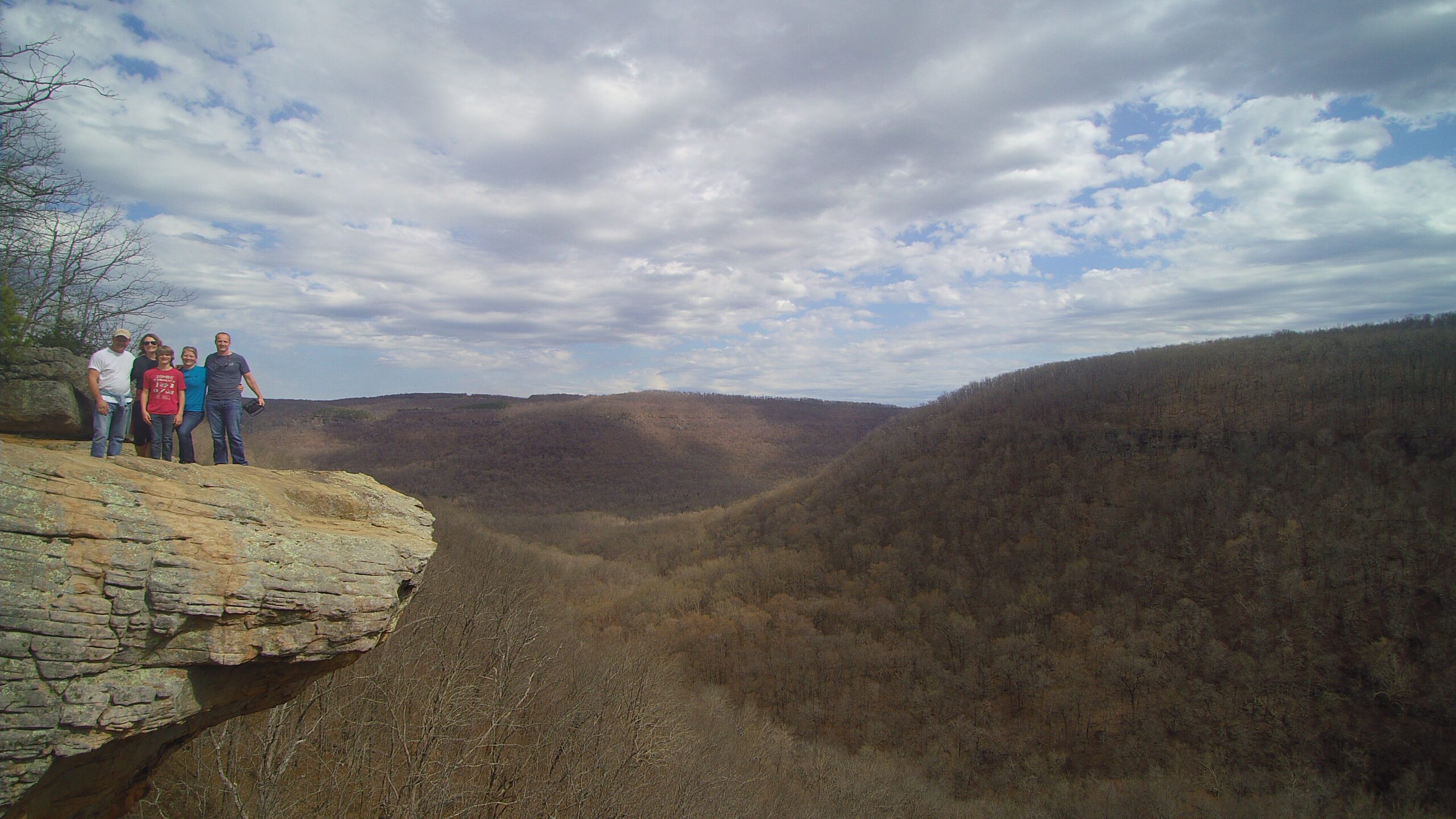
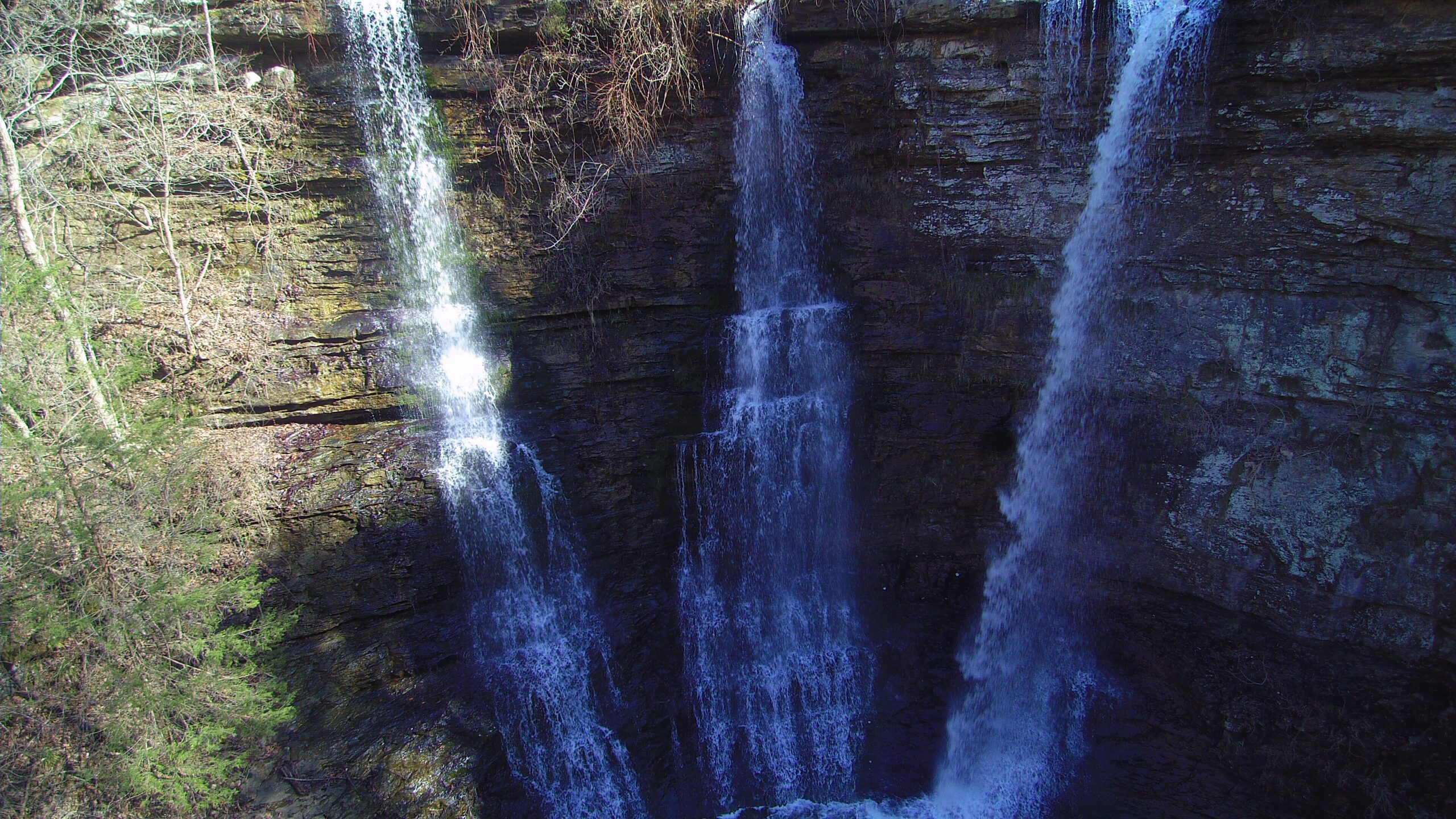
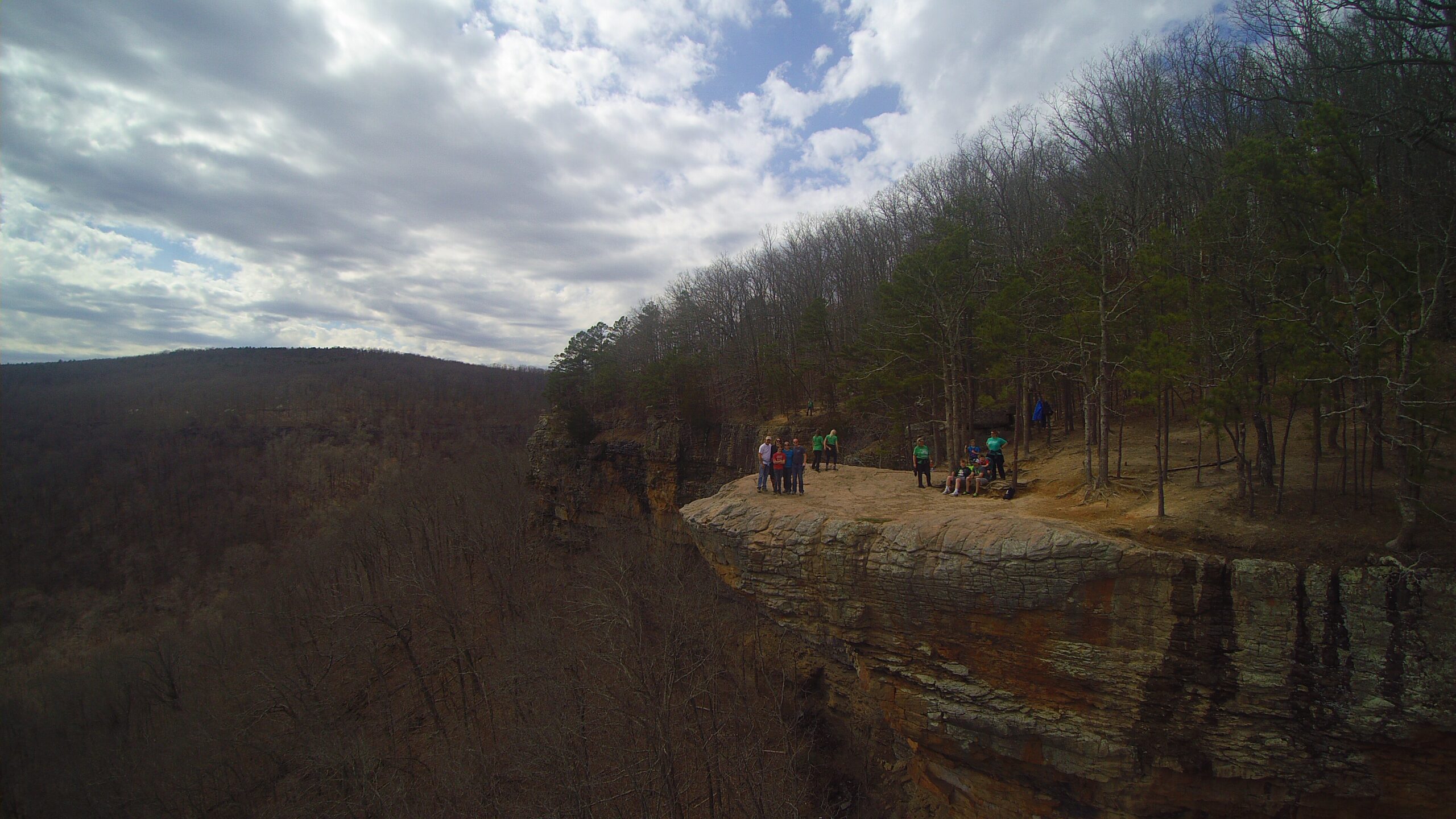
This float has a very easy public access point near marble just off Highway 412. This is probably the most floated section of the Kings River for rafting, kayaking and canoeing visitors. The beauty of this section rivals that of the Buffalo River in natural beauty. Large bluff line and plenty of small rapids with multiple twists and turns make for an great float. With stretches of deep pools, submerged boulders and other structures make this good for fishing as well. The bad, you most drag over a low water bridge on this float trip. The take out point is at Marshall Ford which is northeast of Alabam on County Road 1435. This take out is fairly easy near the bridge but parking is limited to the road.
Directions from Cathouse Arkansas :
Click for map and directions


Explore with
confidence
Inspiration and guidance for wherever your trail may lead.