
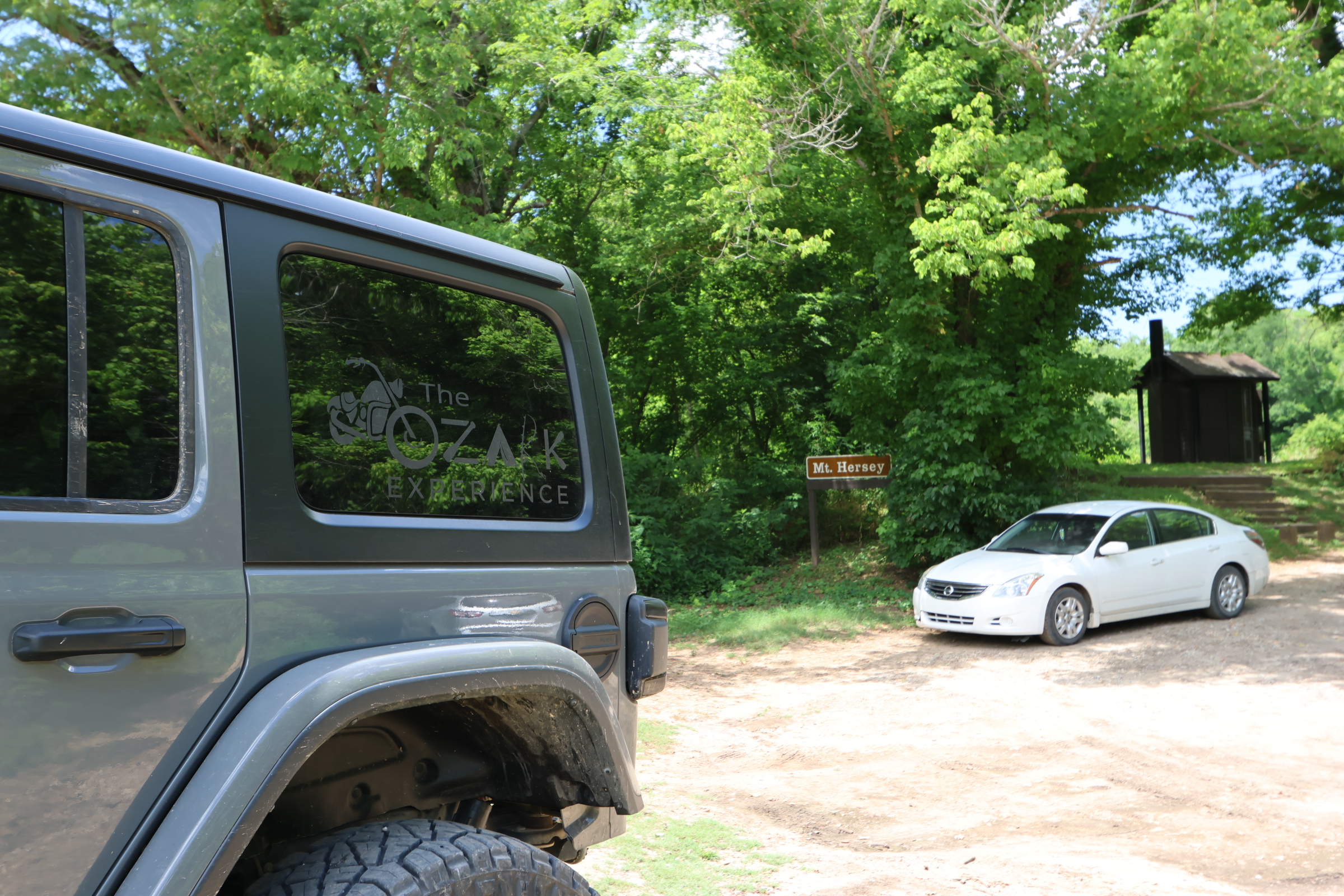
Mt Hersey
Click here to get directions
36.00948542889973, -92.95317528137505
Mt Hersey Put-In
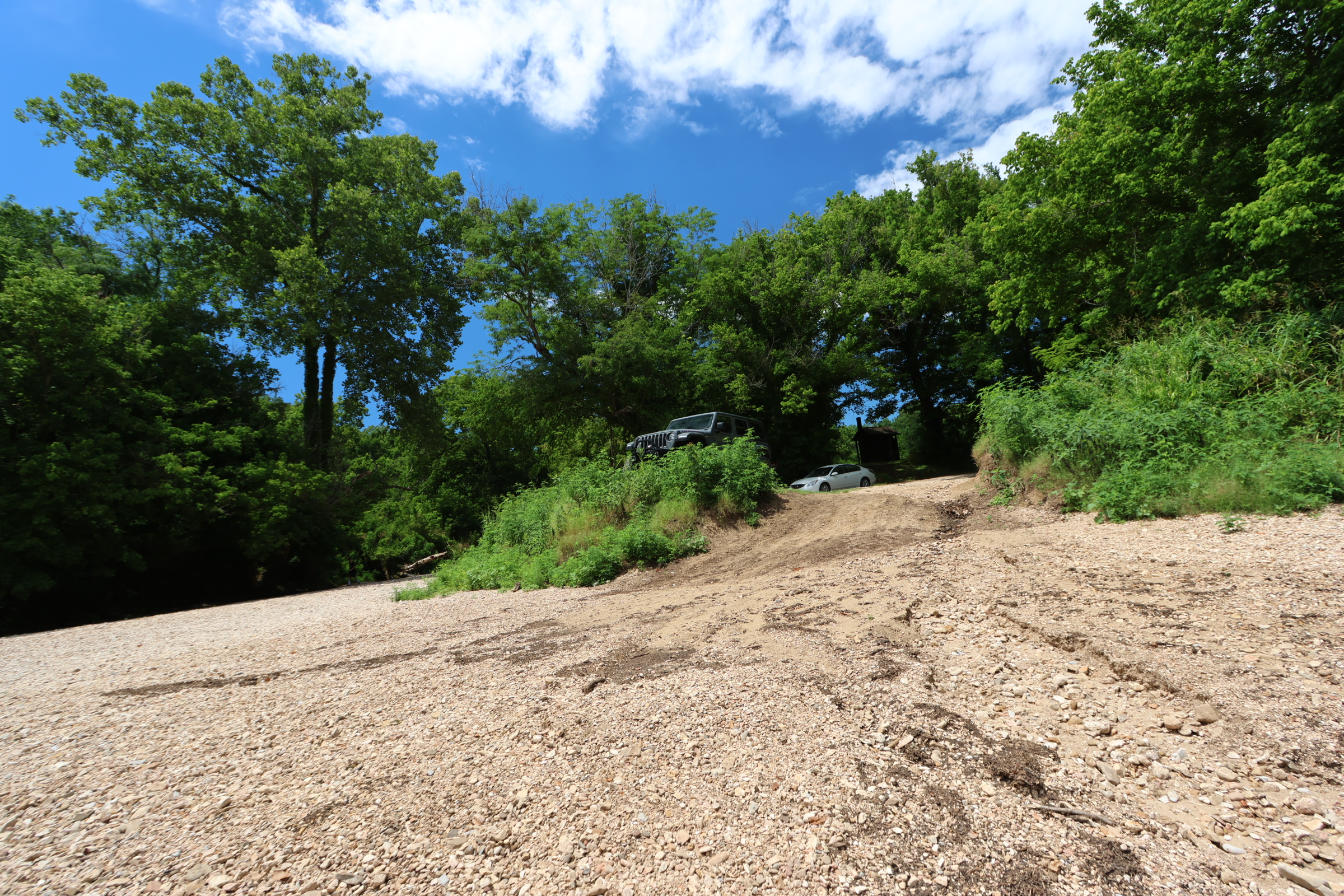
Mt Hersey has two long ways to it (5.2 miles down a gravel road). From Hwy 123, look for the 4210 road sign. There is NOT a brown National River “put-in” sign. You must pass a low water bridge that may be impassable after a heavy rain.
The other way is from Hwy 65 (there is a brown National River sign directing you down Mt Hersey Rd from 65) you won’t have to worry about heavy rains the day before. Either way it’s a 5.2 mile drive down a gravel road.
The plus – you won’t have to carry your boat here. Just drive to the river and drop your boat on.
Visit our hiking page for more info about hikes in the area.
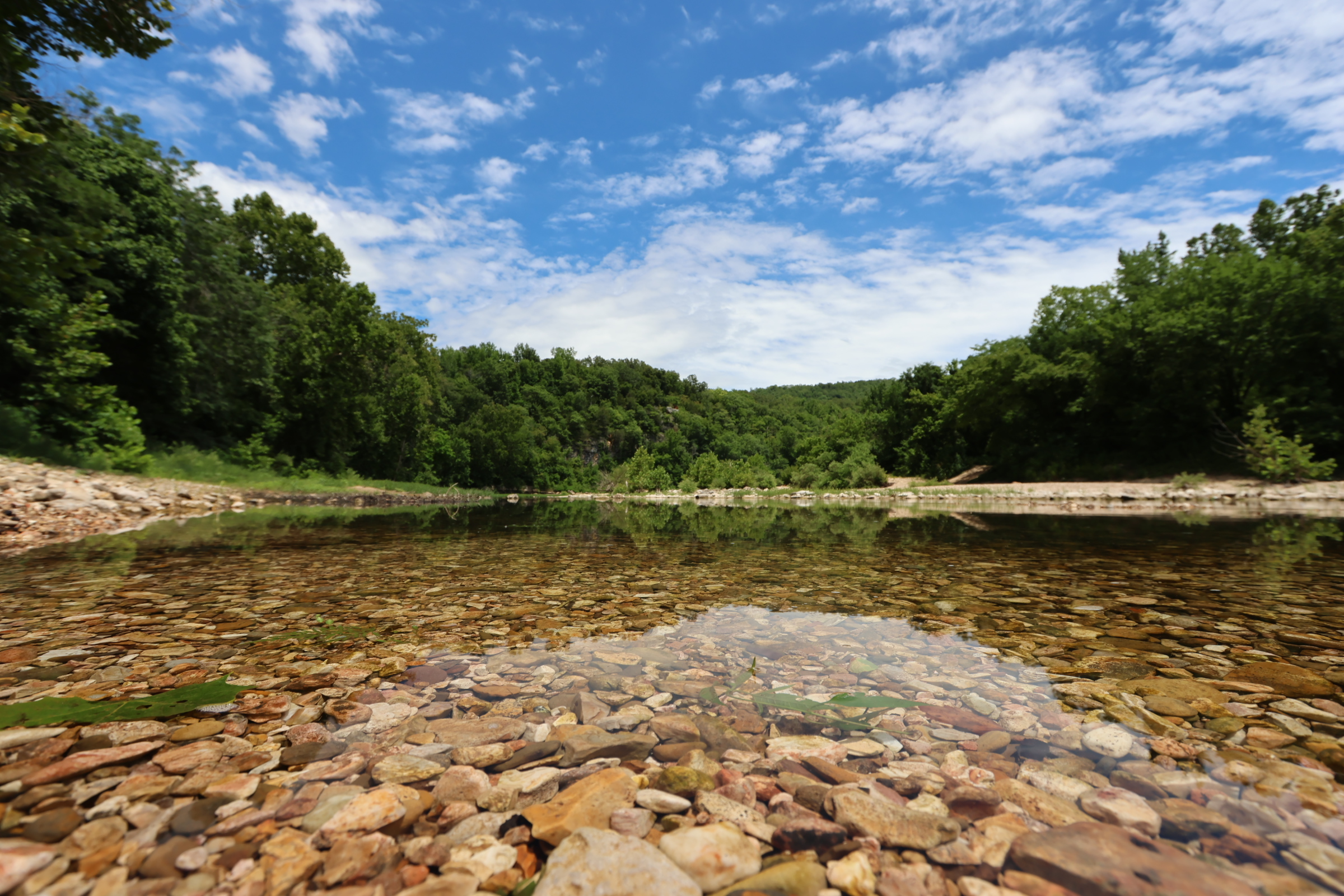
Leave your shuttle car at Woolum for a 8.6-mile float. You will do about 1.8 miles an hour. A little faster if the water is higher, slower if the water is on the lower side
Class Rating
I – II
Length to next put in/take out
8.6 miles
Time to next put in/take out
4:30 hours
USGS Gage to watch:
Gauge Pruitt
Current Gage Level
Gage Level and condition of float
- Minimum level: 4.24
- Optimal level: 4.69-6.59
- Maximum level: 8.28
Best times of year:
October through June or after a good rain
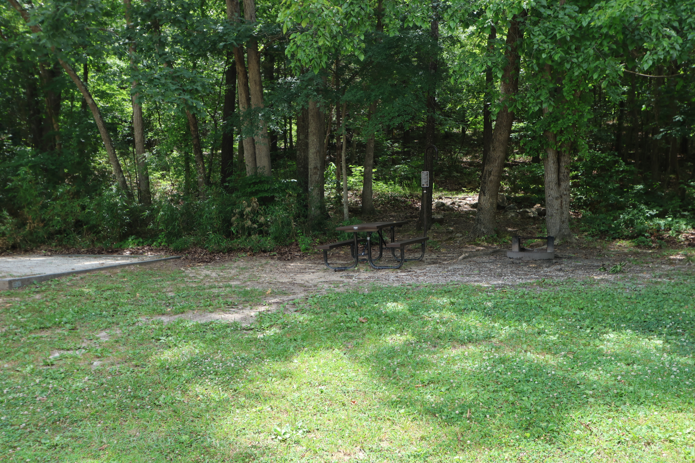
Camping Facilities:
Primitive camping, Restrooms, Fee FREE.
Location:
Directions from Jasper Arkansas
Click for map and directions

Explore with
confidence
Inspiration and guidance for wherever your trail may lead.