
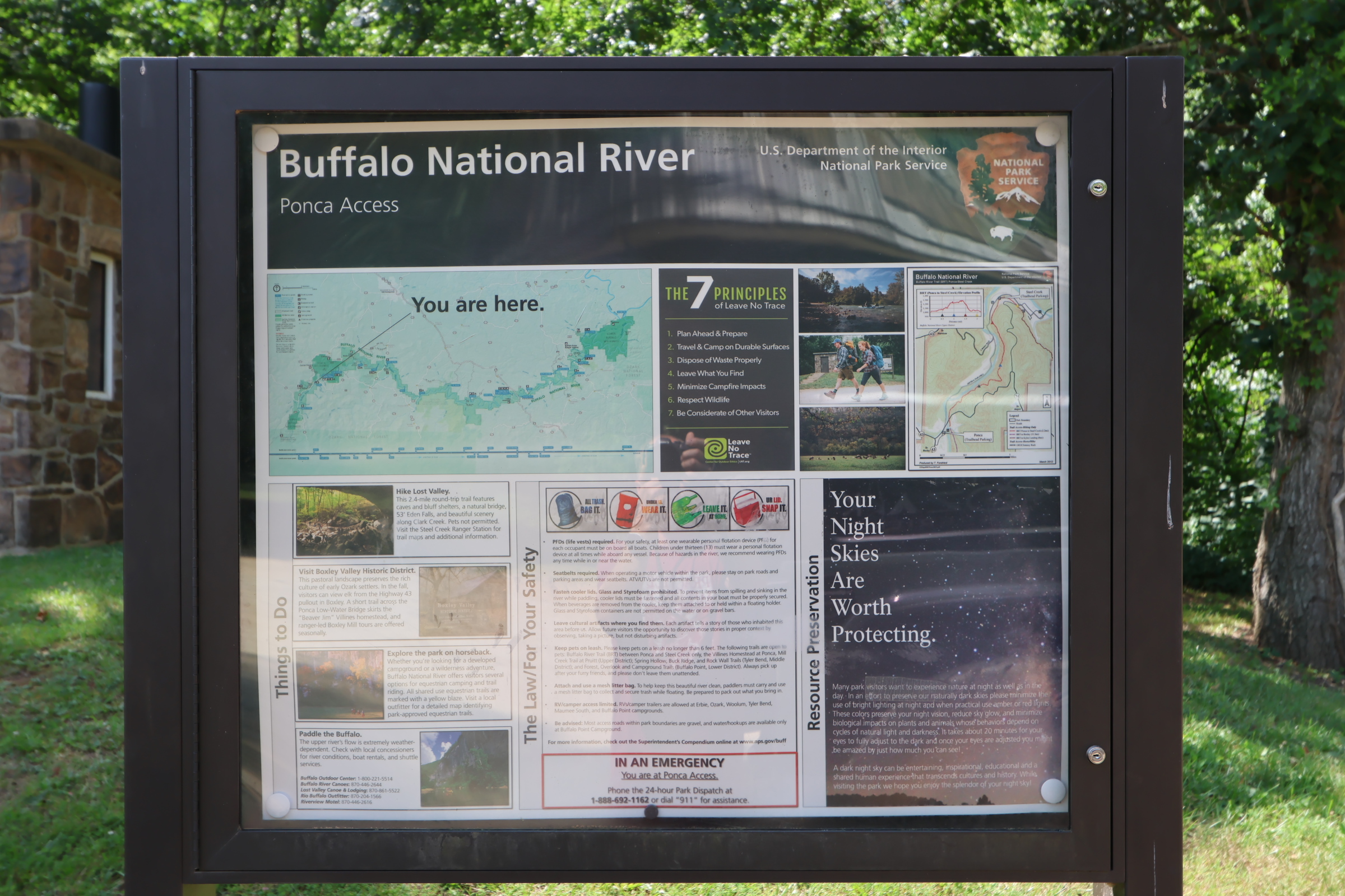
Ponca Low Water Bridge
Click here to get directions
36.02131672135905, -93.3548108962272
Ponca Low Water Bridge
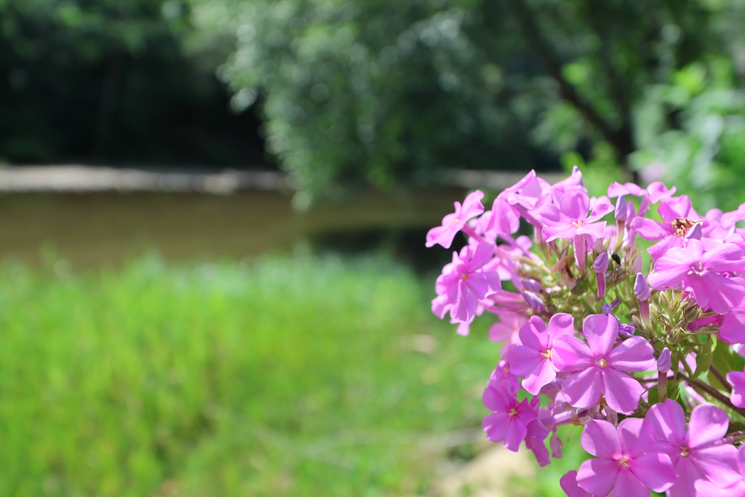
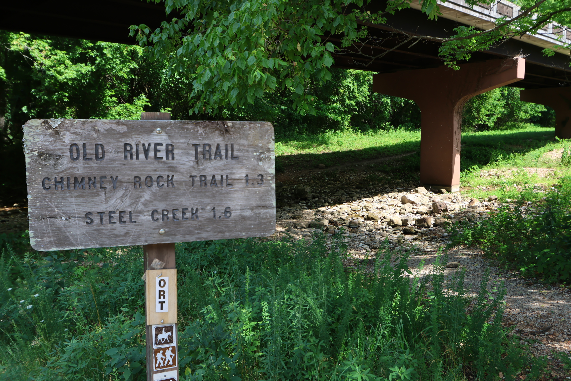
This is right off the pavement. Folks usually cross the low water bridge and unload their boats near the entrance to the Villines Homestead. Maybe that’s just us since I married a Villines. Remember, never park where folks load and unload as to be courteous to others loading and unloading. There’s a vault toilet here. The BRT, ORT and Villines trail are all here as well. Elk love that Boxley Valley near this put-in, so you may see elk early in the morning and late afternoon.
Leave your shuttle car at Steel Creek for a 2.7-mile float or Kyles Landing for a 10.7 float. You will do about 2 miles an hour. A little faster if the water is higher, slower if the water is lower. We usally bring a lunch and go to Kyles.
There’s no official campsites, but you can camp along the river.
Class Rating
I – II
Length to next put in/take out
2.7 miles
Time to next put in/take out
1:15 hours
USGS Gage to watch:
Current Gage Level
level content
Gage Level and condition of float
- Minimum level: 2.4
- Optimal level: 2.81 – 3.65
- Maximum level: 6
Best times of year:
October through June or after a good rain
Camping Facilities:
There are restrooms, but no official campsites. You can always camp along the river.
Small description of float:
This float has lots of Bluffs. Great section of the River.
Location:
In Ponca, Ar where the 43 and 74 intersect
Directions from Jasper Arkansas Ozark Cafe:
Click for map and directions


Explore with
confidence
Inspiration and guidance for wherever your trail may lead.