
Pruitt – Pruitt Landing
Click here to get directions
36.06162942828767, -93.13906888765675
Pruitt Put-In
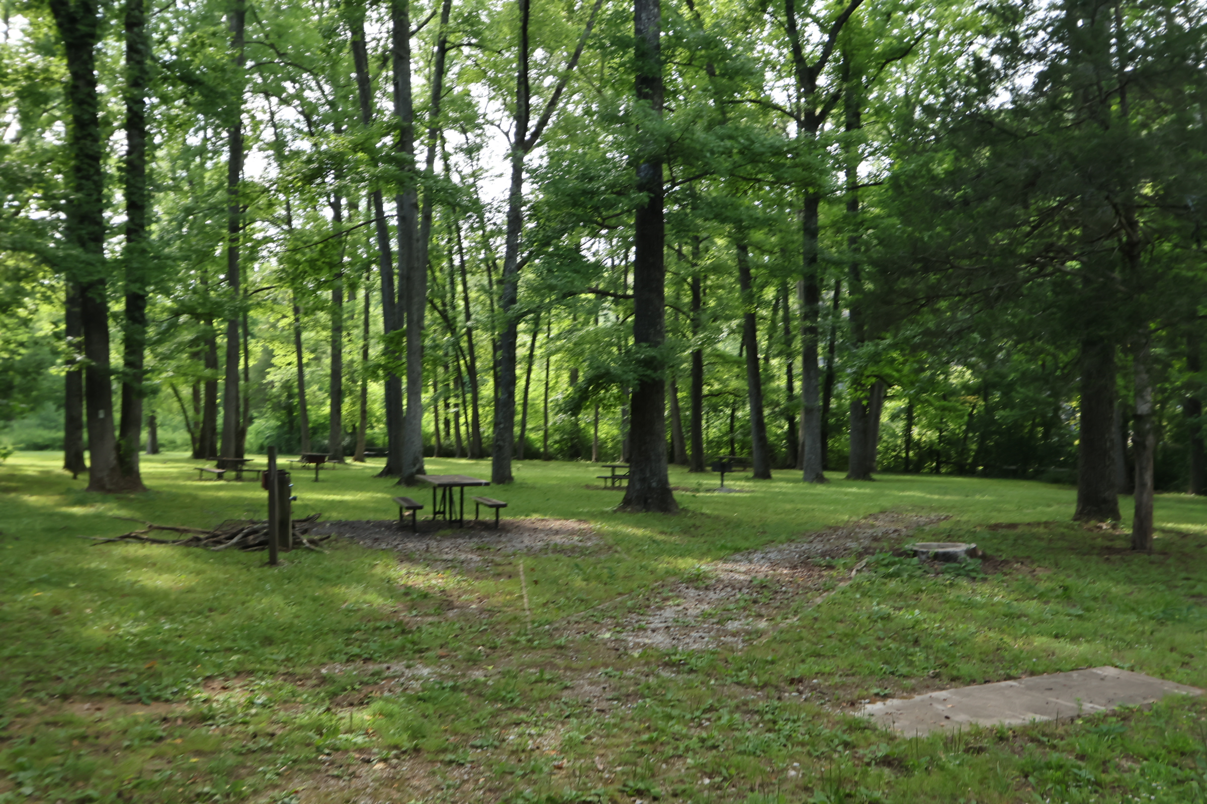
Pruitt is right off Hwy 7. This is a slightly confusing area. You have a ranger station on the West side of the road and behind it the short road leads to picnic areas with restrooms, tables, fire rings and a great swimming hole on the Buffalo River. On the East side of Hwy 7 are two roads, one to the launch area as well as Mill Creek Road with a cool old cabin right off of pavement that you are allowed to go in. Pruitt is close to Harrison, so it tends to be a busy area. Be courteous when loading and unloading and don’t leave your vehicle in the way.
Visit our hiking page for more info about the cabin, Mill Creek Trail and other hikes.
Leave your shuttle car at Hasty for a 6.8-mile float or Carver for an 11-mile float. You will do about 2 miles an hour. A little faster if the water is higher, slower if the water is on the lower side.
Class Rating
I – II
Length to next put in/take out
6.8 miles
Time to next put in/take out
3:45 hours
USGS Gage to watch:
Gauge Pruitt
Current Gage Level
level content
Gage Level and condition of float
- Minimum level: 4.24
- Optimal level: 4.69-6.59
- Maximum level: 8.28
Best times of year:
October through June or after a good rain
Camping Facilities:
14 Tent Sites, Picnic Table, Fire Ring, Restrooms, Fee FREE.
see camping info here
Location:
Pruitt Landing across from the ranger station on HWY 7 and Co Rd 472
Directions from Jasper Arkansas
Click for map and directions


Explore with
confidence
Inspiration and guidance for wherever your trail may lead.