
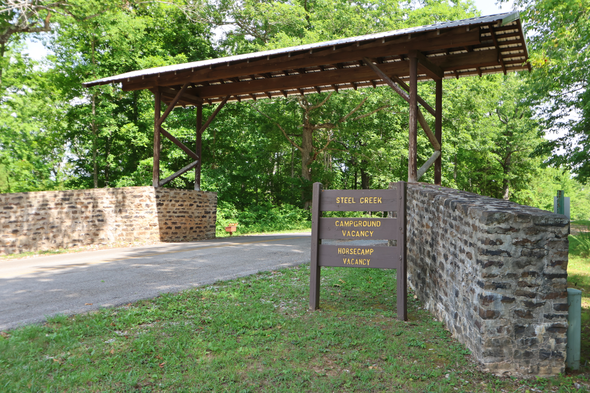
Steel Creek
Click here to get directions
36.03986711503576, -93.3461736310655
Steel Creek Put-In
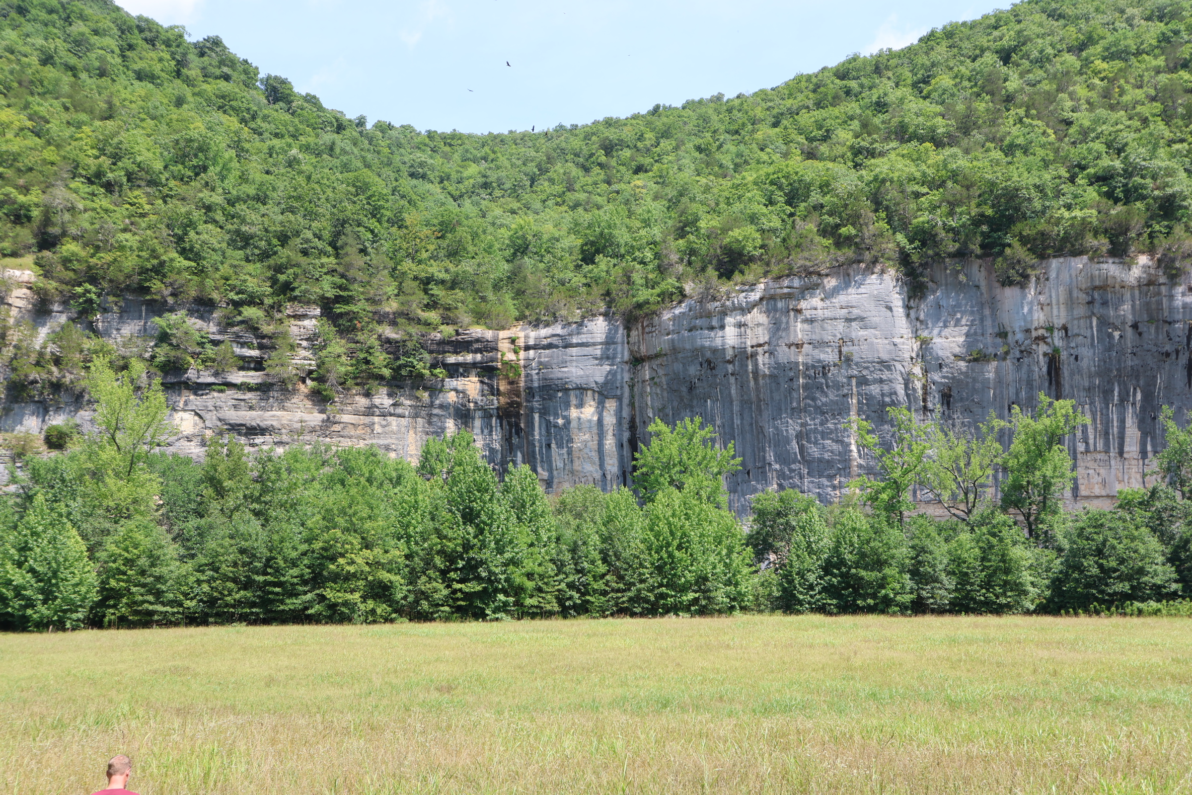
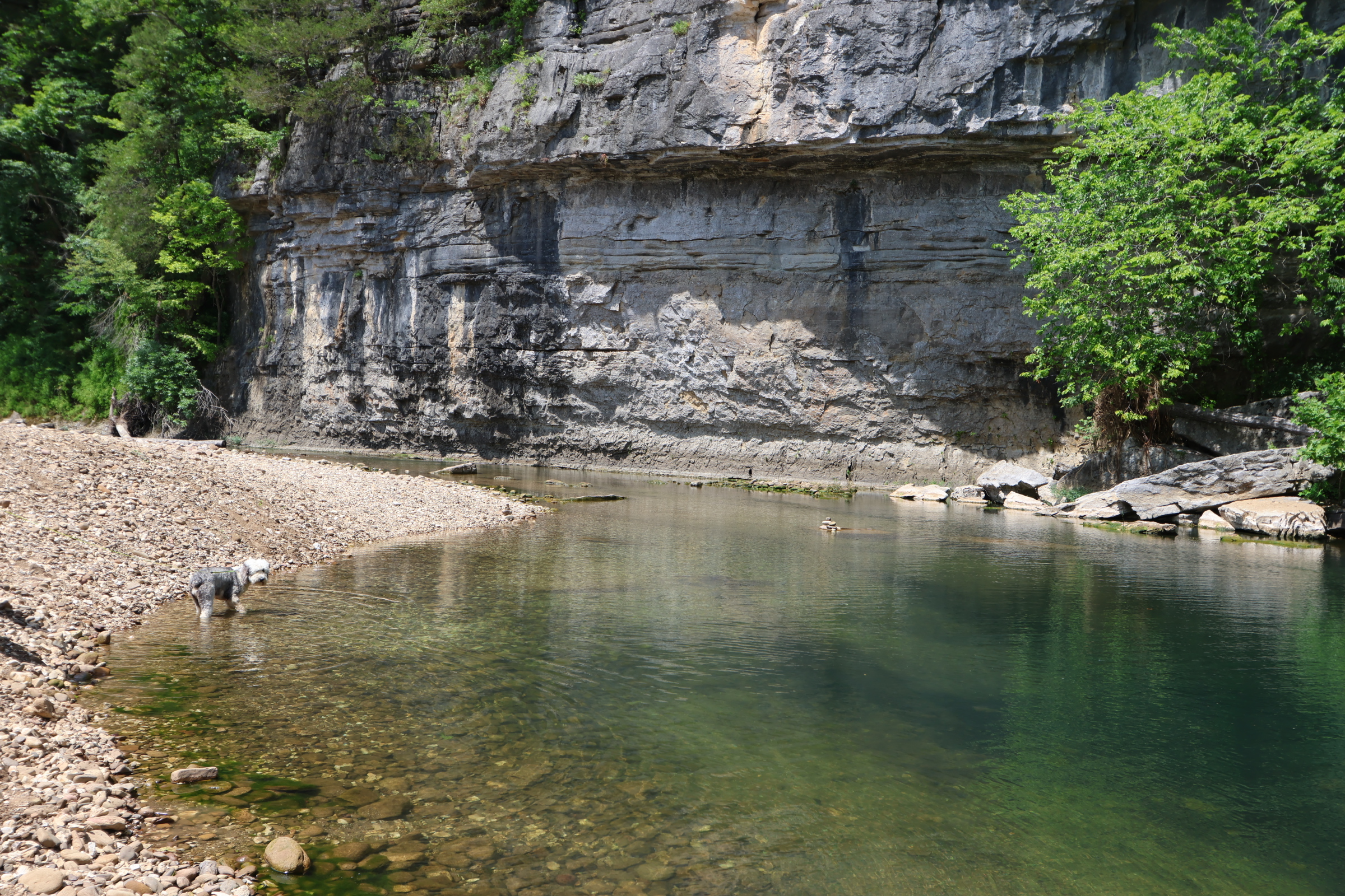
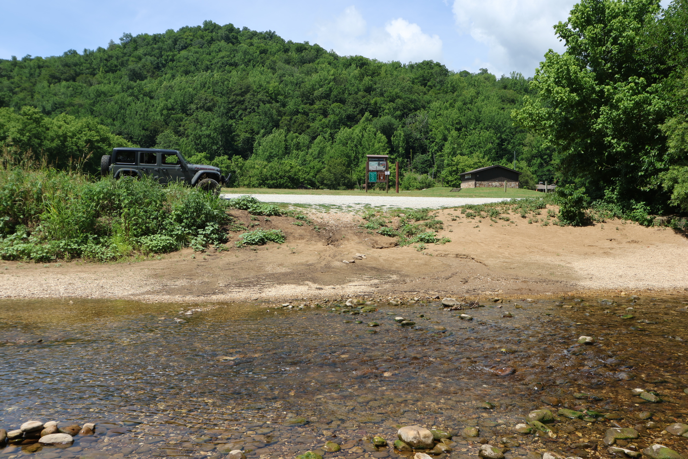
Bluffs, Bluffs and more Bluff lines and that’s just the put-in. You will pass many more bluffs including the bluffs you hike on and see on Goats Trail. Probably the best-looking area that you can drive too as far as bluff lines are concerned. As well, about 65% down the river a short hike will take you to the famous waterfall called Hemmed In Hollow. The road to Steel Creek is paved all the way to the launch area. Launch sites are easily accessed. Stay to the right and go along the loop. Lots of tent camping as well as a horse camp area. There are some great swimming holes during lower non-floatable water level times.
Visit our hiking page for more info about CenterPoint to Goat Trail to climb the bluffs or Hemmed in Hollow.
Leave your shuttle car at Kyles Landing for an 8 mile float. You will do about 2 miles an hour. A little fast if the water is higher, slower if the water is lower.
Class Rating
I – II
Length to next put in/take out
8 miles
Time to next put in/take out
4 hours
USGS Gage to watch:
Gauge Ponca
Current Gage Level
Gage Level and condition of float
- Minimum level: 2.4
- Optimal level: 2.81 – 3.65
- Maximum level: 6
Best times of year:
October through June or after a good rain
Camping Facilities:
26 Tent Sites, Picnic Table, Fire Ring, Restrooms, Drinking water, Fee $20, (Free Nov 15 – March 14 but no water or restrooms).
Visit our camping page
Location:
Steel Creek Campground
Directions from Jasper, Arkansas
Click for map and directions

Explore with
confidence
Inspiration and guidance for wherever your trail may lead.